Simms, MT
Simms Map
Simms is a census-designated place (CDP) in Cascade County, Montana, United States. The population was 373 at the 2000 census. It is part of the 'Great Falls, Montana Metropolitan Statistical Area'.
Simms is located at 47°29?24?N 111°55?56?W / 47.49°N 111.93222°W / 47.49; -111.93222 (47.489984, -111.932102). Simms, Montana is located in the Sun River Valley, 30 miles (48 km) west of Great Falls, 35 miles (56 km) south of Choteau, 24 miles (39 km) north of Cascade and 21 miles (34 km) east of Augusta.
According to the United States Census Bureau, the CDP has a total area of 7.7 square miles (20.0 km²), of which, 7.7 square miles (19.9 km²) of it is land and 0.13% is water.
Nearby cities include Sun River, Vaughn, Cascade, Power, Fort Shaw.
Places in Simms
Dine and drink
Eat and drink your way through town.


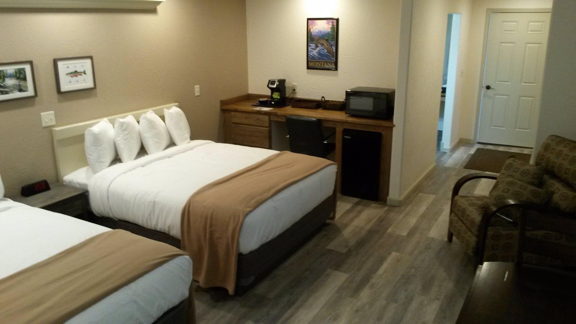
Places to stay
Hang your (vacation) hat in a place that’s just your style.