


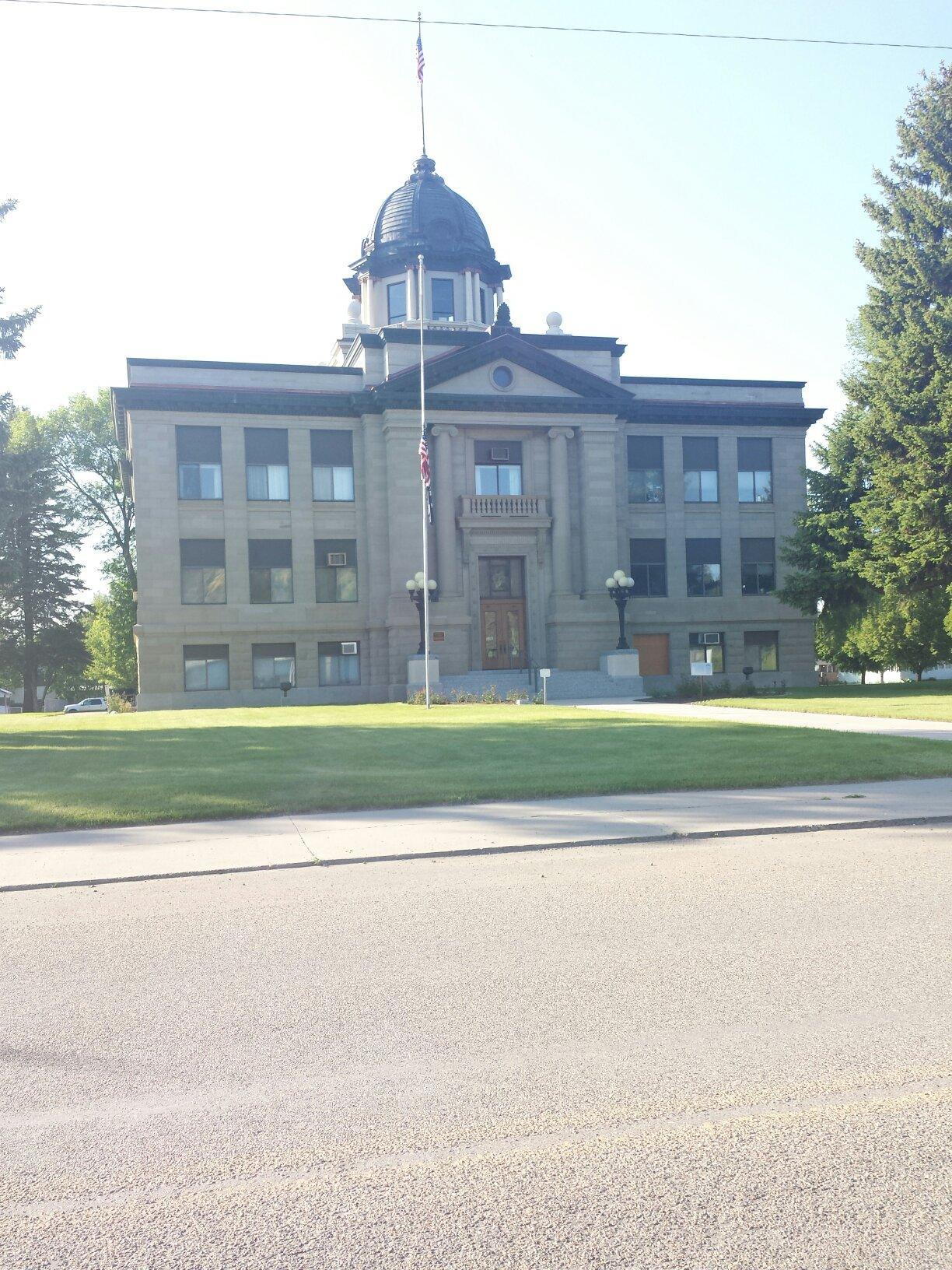
Rosebud County Revenue Department
Rosebud County, established on February 1, 1901, is located in Southeastern Montana and spans approximately 5,027 square miles, making it the fourth largest county by land area in the state. With a population of around 8,329, the county features a diverse landscape of rolling hills and prominent elevations, including the Little Wolf Mountains west of Colstrip.
The county's economy is primarily driven by agriculture, tourism, coal mining, and electrical generation, supported by 1,165 miles of county road. Additionally, Rosebud County is home to several medical facilities and encompasses a large portion of the Northern Cheyenne Indian Reservation, along with cities and towns such as Forsyth, Colstrip, and Lame Deer.
Generated from the website
Also at this address

You might also like
Partial Data by Infogroup (c) 2025. All rights reserved.