Highwood, MT
Highwood Map
Highwood is a census-designated place (CDP) in Chouteau County, Montana, United States. The population was 189 at the 2000 census. It first had a post office opened in 1881. It was closed and reopened a few times until 1886 after which it has remained open continuously.
Highwood is located at 47°35?8?N 110°47?28?W / 47.58556°N 110.79111°W / 47.58556; -110.79111 (47.585542, -110.791244). It is 25 miles east of Great Falls, Montana just west of the Highwood Mountains.
According to the United States Census Bureau, the CDP has a total area of 4.5 square miles (11.6 km²), all of it land.
Nearby cities include Belt, Carter, Fort Benton.
Places in Highwood
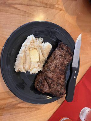
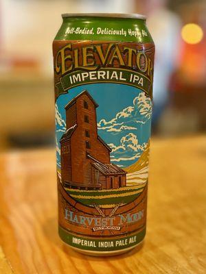
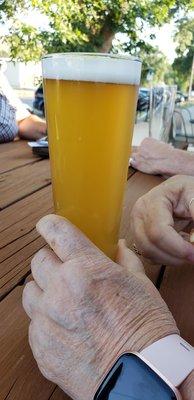
Dine and drink
Eat and drink your way through town.


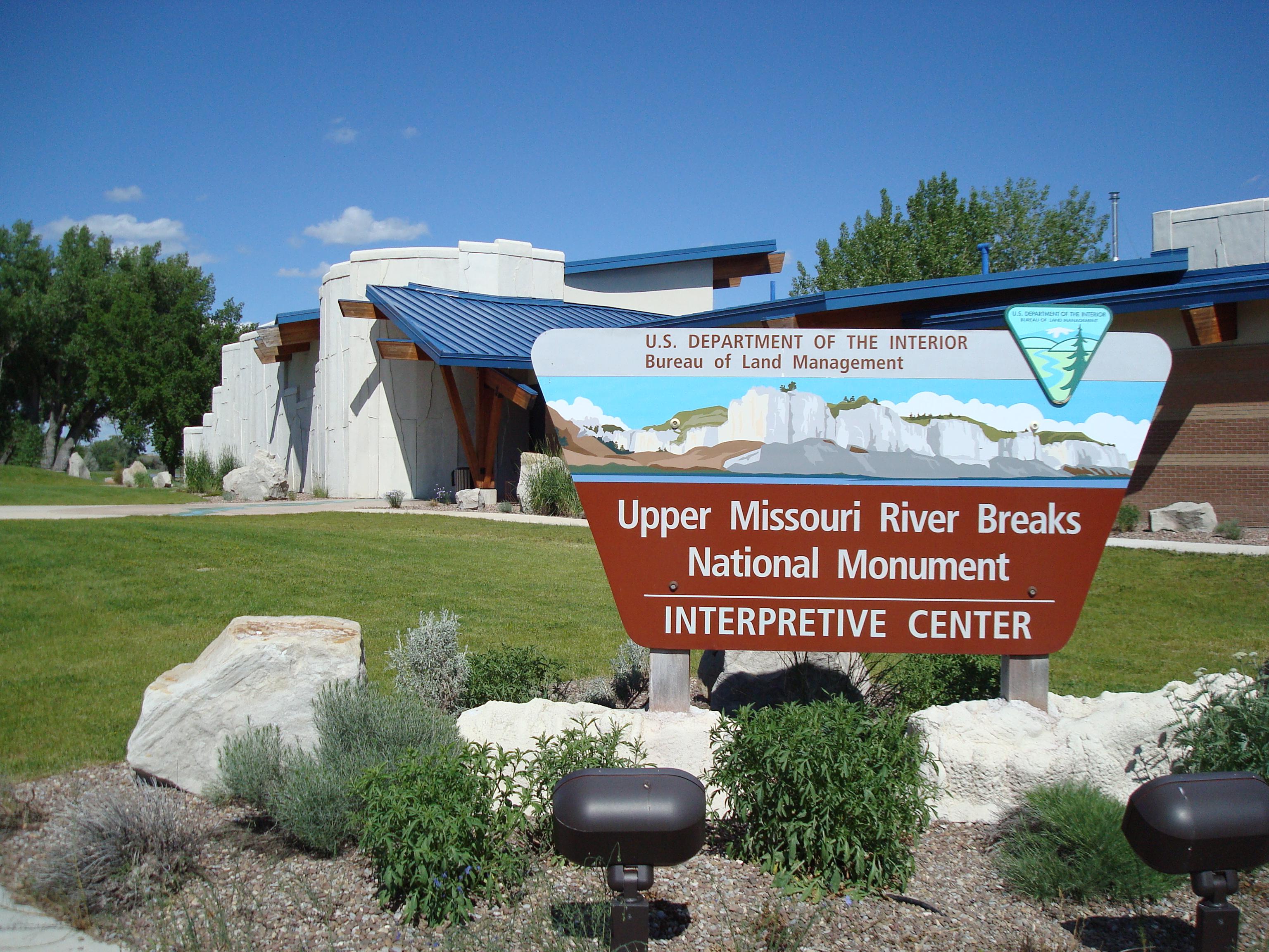
Can't-miss activities
Culture, natural beauty, and plain old fun.

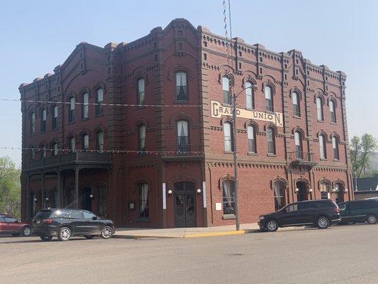
Places to stay
Hang your (vacation) hat in a place that’s just your style.