Washington, MO
Washington Map
Washington is a city on the Missouri River in Franklin County, Missouri, United States. The population was 13,243 at the 2000 census. It is the corn cob pipe capital of the world, with Missouri Meerschaum located in Washington.
Washington is located at 38°33?7?N 91°0?48?W / 38.55194°N 91.01333°W / 38.55194; -91.01333 (38.551879, -91.013313). According to the United States Census Bureau, the city has a total area of 9.0 square miles (23.4 km²), of which, 8.6 square miles (22.1 km²) of it is land and 0.5 square miles (1.3 km²) of it (5.42%) is water. The city has an extreme continental climate, with cold winters and hot, humid summers.
Named after George Washington after it came under American control, the town was first settled during the rule of the Spanish Empire. It was originally called St. John Meyer's Settlement and was the site of the Spanish log fort, San Juan del Misuri (1796–1803).
Nearby cities include New Haven, Gray Summit, New Melle, Defiance, Foristell.
Places in Washington
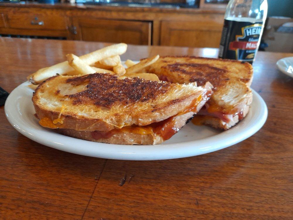
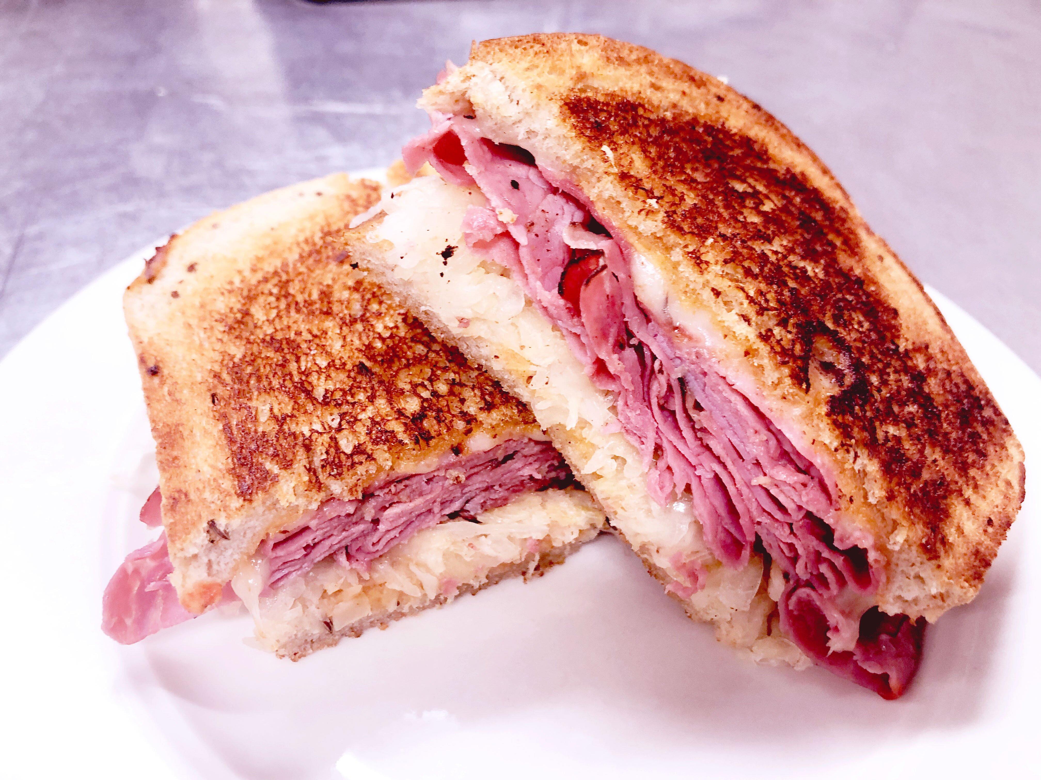
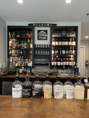
Dine and drink
Eat and drink your way through town.


Can't-miss activities
Culture, natural beauty, and plain old fun.

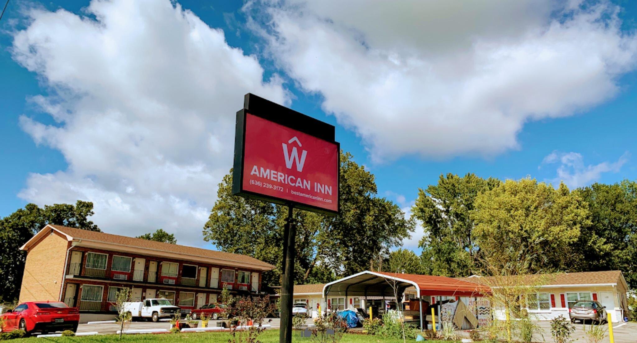
Places to stay
Hang your (vacation) hat in a place that’s just your style.