Spokane, MO
Spokane Map
Spokane is a census-designated place in Christian County, Missouri, United States. The population was 133 at the 2000 census. It is part of the Springfield, Missouri Metropolitan Statistical Area. The place was founded in 1893, and named after Spokane, Washington, but it is not pronounced like its namesake; instead, the "a" is long (that is, "sp?-k?n") and rhymes with "cane".
Spokane is located at 36°51?43?N 93°18?15?W / 36.86194°N 93.30417°W / 36.86194; -93.30417 (36.861839, -93.304152).
According to the United States Census Bureau, the CDP has a total area of 0.8 square miles (2.0 km²), all of it land.
Nearby cities include Galena, Ozark, Branson West, Nixa, Clever.
Places in Spokane
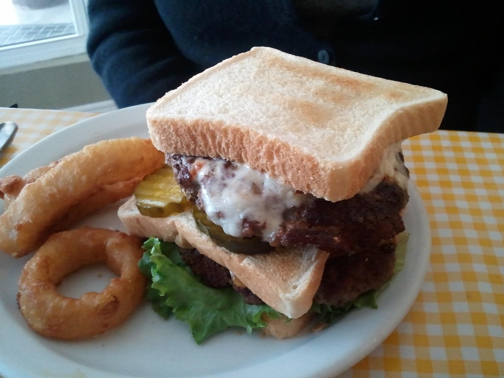
Dine and drink
Eat and drink your way through town.


Can't-miss activities
Culture, natural beauty, and plain old fun.


Places to stay
Hang your (vacation) hat in a place that’s just your style.