


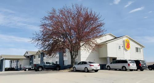
Smithville, MO
Smithville, MO 64089
Smithville Map
Smithville is a city in Clay and Platte counties in the U.S. state of Missouri, along the Little Platte River. The population was 5,514 at the 2000 census.
Smithville is located at 39°23?12?N 94°34?36?W / 39.38667°N 94.57667°W / 39.38667; -94.57667 (39.386620, -94.576713), primarily in Clay County.
According to the United States Census Bureau, the city has a total area of 13.8 square miles (35.7 km²), of which, 13.7 square miles (35.5 km²) of it is land and 0.1 square miles (0.2 km²) of it (0.44%) is water.
Nearby cities include Platte City, Kearney, Gladstone, Pleasant Valley, Liberty.
Places in Smithville
Dine and drink
Eat and drink your way through town.


Can't-miss activities
Culture, natural beauty, and plain old fun.

Places to stay
Hang your (vacation) hat in a place that’s just your style.

See a problem?