Smithton, MO
Smithton Map
Smithton is a city in Pettis County, Missouri, United States. The population was 510 at the 2000 census.
Smithton is located at 38°40?50?N 93°5?33?W / 38.68056°N 93.0925°W / 38.68056; -93.0925 (38.680652, -93.092456). According to the United States Census Bureau, the city has a total area of 0.3 square miles (0.8 km²) or 192 acres.
As of the year 2000, the population density was 1/4 people per square mile (679.0/km²). There were 212 housing units at an average density of 728.0 per square mile (282.3/km²). The racial makeup of the city was 97.45% White, 0.78% Native American, 0.20% Asian, 0.39% from other races, and 1.18% from two or more races. Hispanic or Latino of any race were 0.59% of the population.
Nearby cities include Syracuse, Hughesville, Cole Camp, Pilot Grove, Tipton.
Places in Smithton
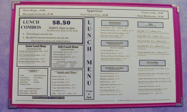
Dine and drink
Eat and drink your way through town.


Places to stay
Hang your (vacation) hat in a place that’s just your style.