


Rosebud, MO
Rosebud, MO 63091
Rosebud Map
Rosebud is a city in Gasconade County, Missouri, United States. The population was 364 at the 2000 census.
Rosebud is located at 38°23?12?N 91°24?7?W / 38.38667°N 91.40194°W / 38.38667; -91.40194 (38.386579, -91.401899).
According to the United States Census Bureau, the city has a total area of 0.3 square miles (0.9 km²), all of it land.
Nearby cities include Bland, Sullivan, New Haven, Bourbon, Belle.
Places in Rosebud
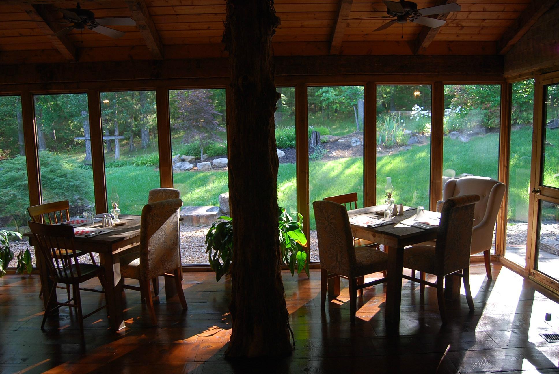
Dine and drink
Eat and drink your way through town.


Can't-miss activities
Culture, natural beauty, and plain old fun.


Places to stay
Hang your (vacation) hat in a place that’s just your style.


See a problem?