Nishnabotna, MO
Nishnabotna Township, MO Map
Nishnabotna Township is a US city in Atchison County in the state of Missouri. Located at the longitude and latitude of -95.623889, 40.491944 and situated at an elevation of 274 meters. In the 2020 United States Census, Nishnabotna Township, MO had a population of 129 people. Nishnabotna Township is in the Central Standard Time timezone at Coordinated Universal Time (UTC) -6. Find directions to Nishnabotna Township, MO, browse local businesses, landmarks, get current traffic estimates, road conditions, and more.
Nishnabotna Township in Missouri is a quaint locale that invites exploration with its serene landscapes and rich historical backdrop. Known for its connection to the Nishnabotna River, the township offers picturesque views and opportunities for outdoor activities such as fishing and hiking. The area's history is deeply intertwined with the movement and settlement patterns of Native American tribes and early pioneers, offering a glimpse into the past for those interested in regional history.
While Nishnabotna Township may not boast bustling city attractions, it provides a charming escape with its rural charm and small-town hospitality. Visitors often enjoy exploring local historical sites, which reflect the township's past and provide context to its development over the years. The community's commitment to preserving its heritage is evident in the well-maintained historical markers and buildings that dot the landscape, making it a worthwhile visit for those seeking a peaceful retreat steeped in history.
Nearby cities include: Watson, MO, Peru, NE, Polk, MO, Brownville, NE, Templeton, MO, Rock Port, MO, Hamburg, IA, Nemaha, NE, Julian, NE, Tarkio, MO.
Places in Nishnabotna
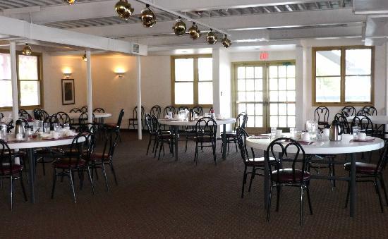
Dine and drink
Eat and drink your way through town.


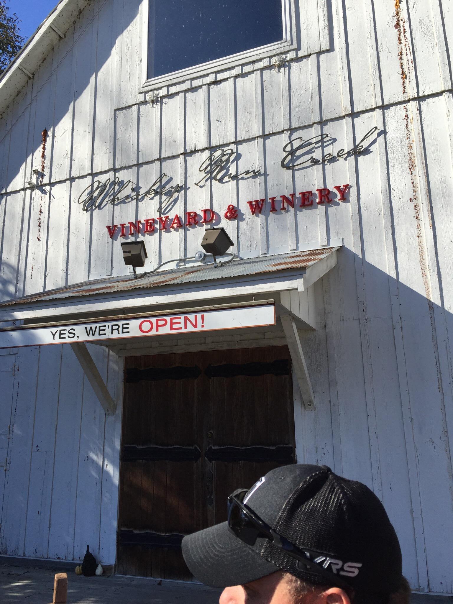
Can't-miss activities
Culture, natural beauty, and plain old fun.

Places to stay
Hang your (vacation) hat in a place that’s just your style.