Maryland Heights, MO
Maryland Heights Map
Maryland Heights is a second-ring West-Central suburb of St. Louis, located in St. Louis County, Missouri, United States. The population was 26,339 as of 2006. The city was incorporated in 1985. Edwin L Dirck was elected the city's first mayor. Mark M. Levin has been City Administrator since August 1985.
Maryland Heights is located at 38°43?10?N 90°26?51?W / 38.719551°N 90.447467°W / 38.719551; -90.447467 (38.719551, -90.447467). According to the United States Census Bureau, the city has a total area of 23.6 square miles (61.0 km2), of which, 21.4 square miles (55.4 km2) of it is land and 2.2 square miles (5.7 km2) of it (9.29%) is water.
The city of Maryland Heights is a Third-Class Statutory City. It is governed by a Mayor who serves a four year term and a City Council made up of eight members. The city is divided into four wards. Two council-people are elected from each ward to serve on a city council for two year terms. The city is constructing a new government center to be completed in the summer of 2008. The city has offered internships in public administration since 1986.
Nearby cities include Webster Groves, Ellisville, Maplewood, Ferguson, Jennings.
Places in Maryland Heights
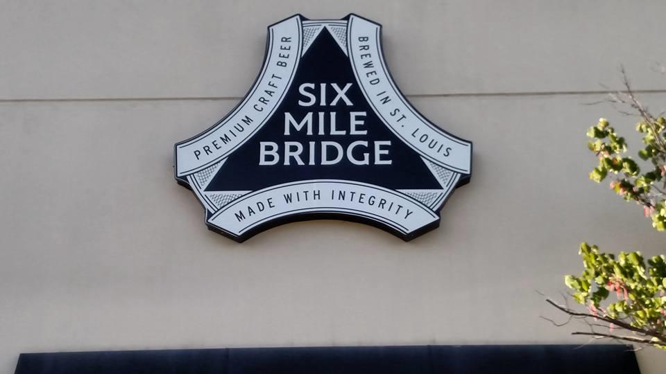
Dine and drink
Eat and drink your way through town.


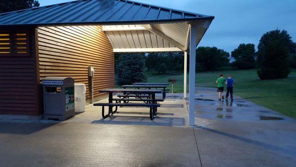
Can't-miss activities
Culture, natural beauty, and plain old fun.

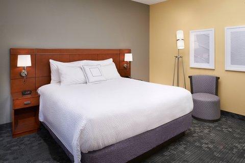
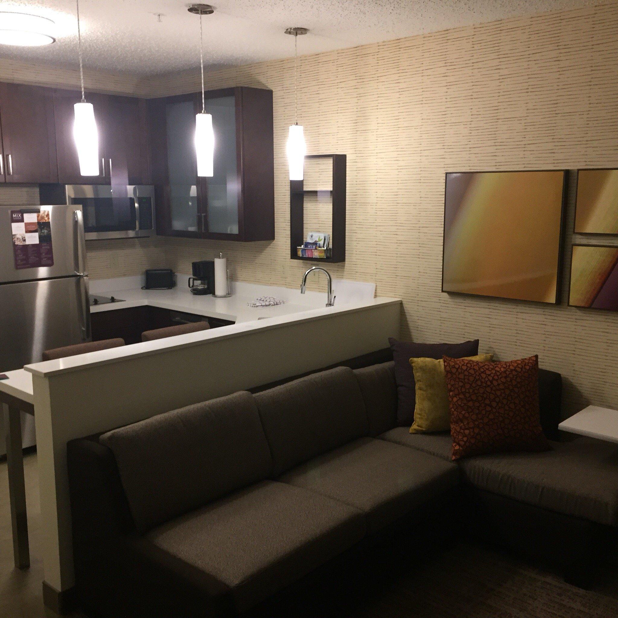
Places to stay
Hang your (vacation) hat in a place that’s just your style.