


Irondale, MO
Irondale, MO 63648
Irondale Map
Irondale is a city in Washington County, Missouri, United States. The population was 455 at the 2008 estimated census.
Irondale is located at 37°50?7?N 90°40?21?W / 37.83528°N 90.6725°W / 37.83528; -90.6725 (37.835204, -90.672505).
According to the United States Census Bureau, the city has a total area of 0.6 square miles (1.5 km²), of which, 0.5 square miles (1.4 km²) of it is land and 0.04 square miles (0.1 km²) of it (3.57%) is water.
Nearby cities include Doe Run, Farmington, Pilot Knob, Ironton, Arcadia.
Places in Irondale
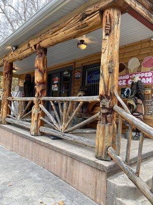
Dine and drink
Eat and drink your way through town.


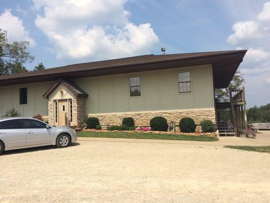
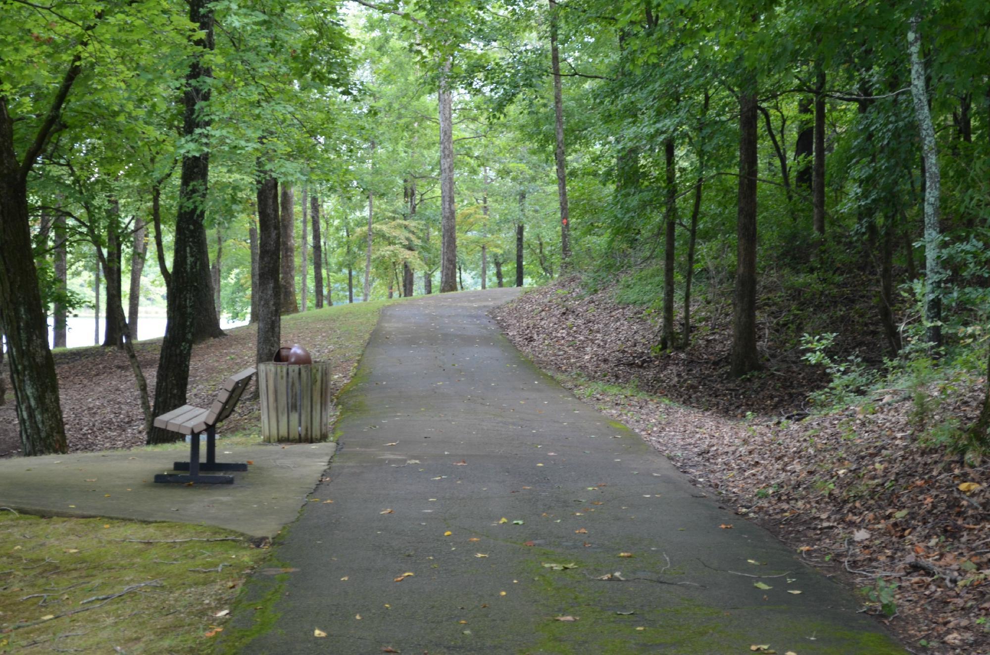
Can't-miss activities
Culture, natural beauty, and plain old fun.

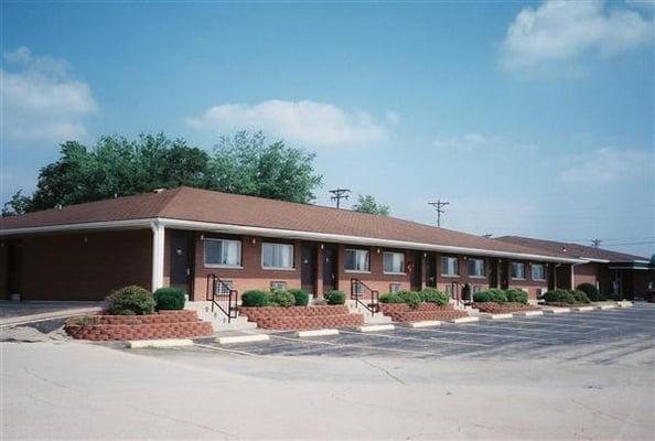
Places to stay
Hang your (vacation) hat in a place that’s just your style.


See a problem?