


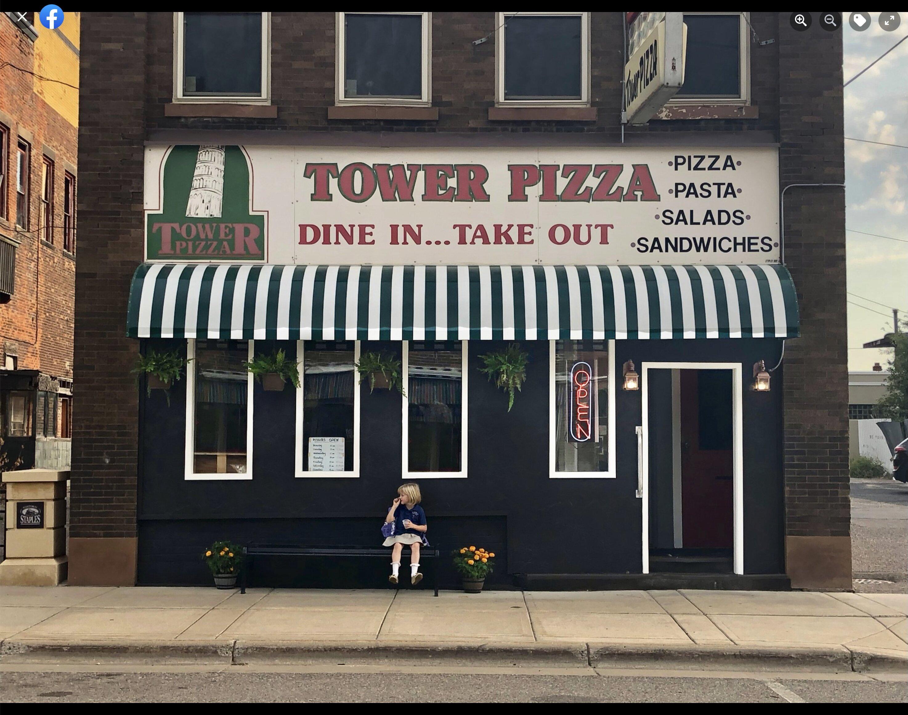
Staples, MN
Staples, MN 56479
Staples Map
Staples is a city in Todd and Wadena counties in the U.S. state of Minnesota. The population was 2,981 at the 2010 census.
According to the United States Census Bureau, the city has a total area of 4.6 square miles (11.8 km²), of which, 4.5 square miles (11.7 km²) of it is land and 0.22% is water.
U.S. Route 10 and Minnesota State Highway 210 are two of the main routes in the city. The Empire Builder, an Amtrak route connecting Chicago, Illinois with Seattle, Washington and Portland, Oregon, stops at the train station in Staples.
Nearby cities include Verndale, Bertha, Hewitt, Pillager, Clarissa.
US > MN > StaplesPlaces in Staples
Dine and drink
Eat and drink your way through town.


Places to stay
Hang your (vacation) hat in a place that’s just your style.


See a problem?