Currie, MN
Currie, MN Map
Currie is a US city in Murray County in the state of Minnesota. Located at the longitude and latitude of -95.666400, 44.071350 and situated at an elevation of 456 meters. In the 2020 United States Census, Currie, MN had a population of 224 people. Currie is in the Central Standard Time timezone at Coordinated Universal Time (UTC) -6. Find directions to Currie, MN, browse local businesses, landmarks, get current traffic estimates, road conditions, and more.
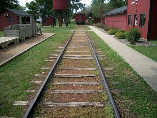
Currie, located in the state of Minnesota, is a small city known for its rich historical backdrop and natural attractions. One of the city's most significant historical sites is the End-O-Line Railroad Park and Museum, which provides visitors a glimpse into the region's past with its preserved railroad artifacts and exhibits. The museum is situated on the remnants of a rail line that once played a pivotal role in the area's transportation history. Visitors can also enjoy a ride on a mini train, making it an educational and entertaining experience for families.
In addition to its historical offerings, Currie is a gateway to natural beauty, particularly with its proximity to Lake Shetek State Park. The park offers a variety of recreational activities such as camping, hiking, and fishing, making it a popular destination for outdoor enthusiasts. The park's scenic trails and abundant wildlife provide a serene escape into nature. Currie’s charm lies in its blend of historical significance and natural splendor, making it an inviting stop for those exploring Minnesota's lesser-known locales.
Nearby cities include: The Lakes, MN, Shetek, MN, Lake Sarah, MN, Lime Lake, MN, Dovray, MN, Slayton, MN, Avoca, MN, Des Moines River, MN, Holly, MN, Lowville, MN.
Places in Currie
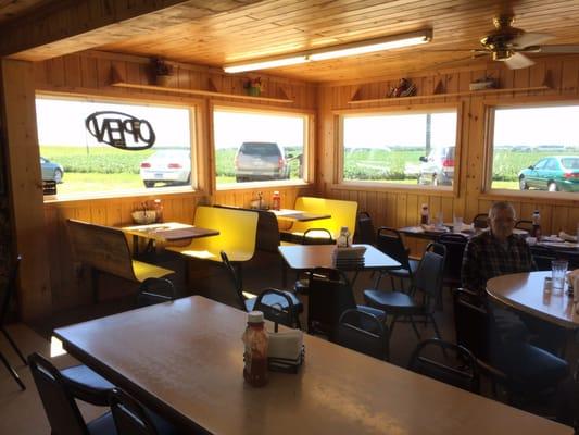
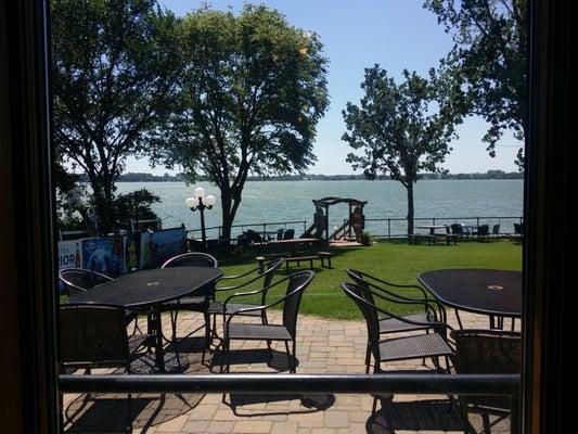
Dine and drink
Eat and drink your way through town.
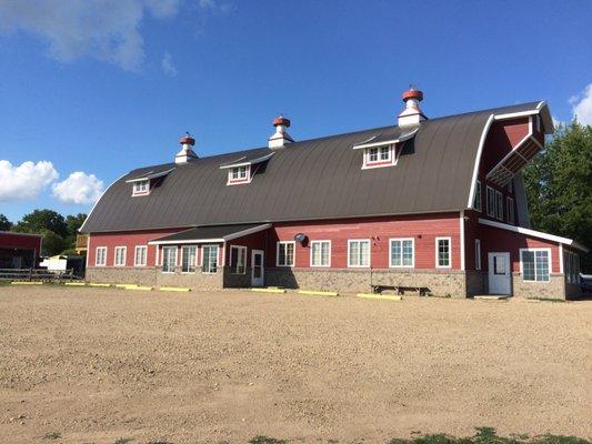

Can't-miss activities
Culture, natural beauty, and plain old fun.

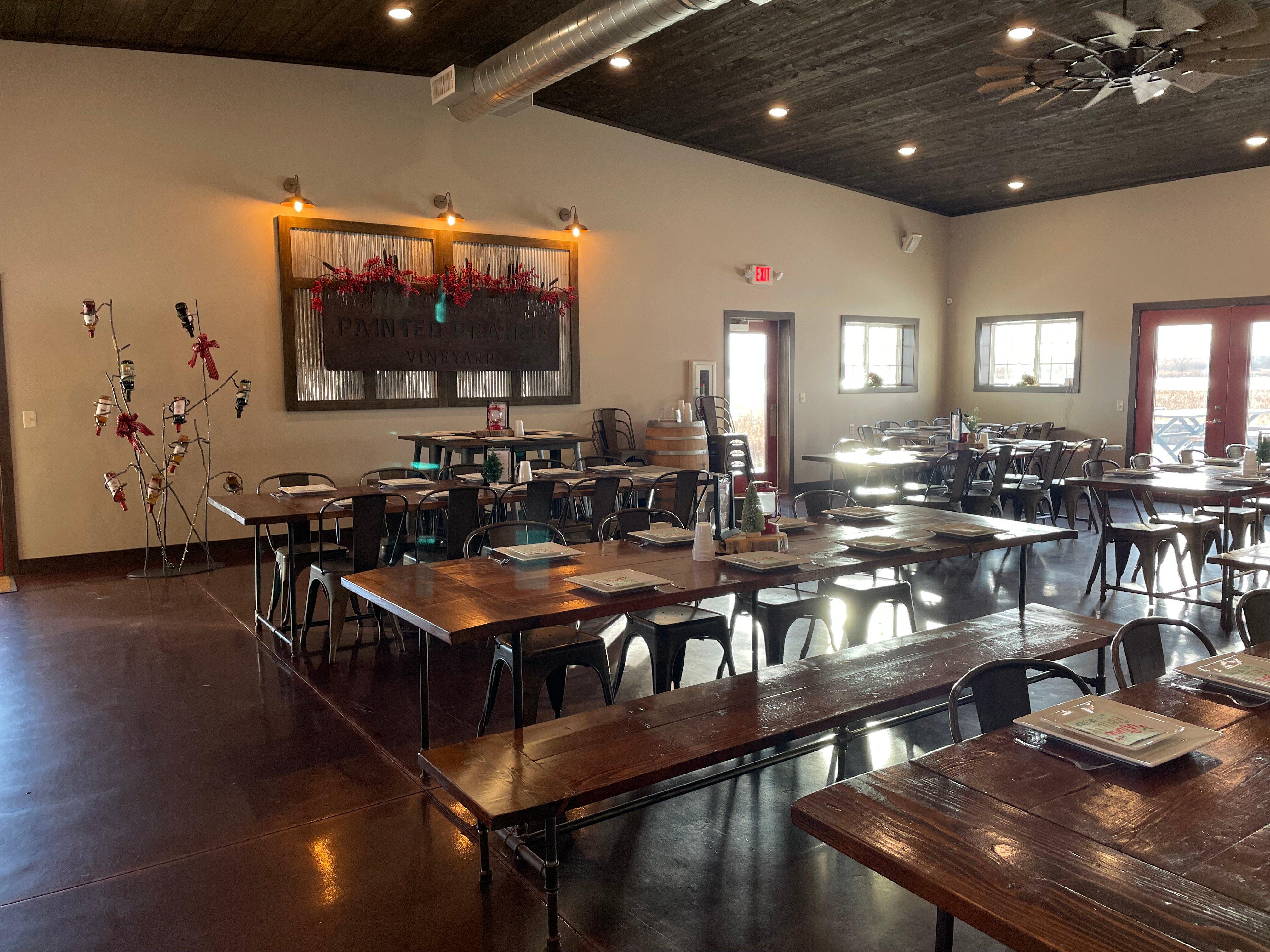

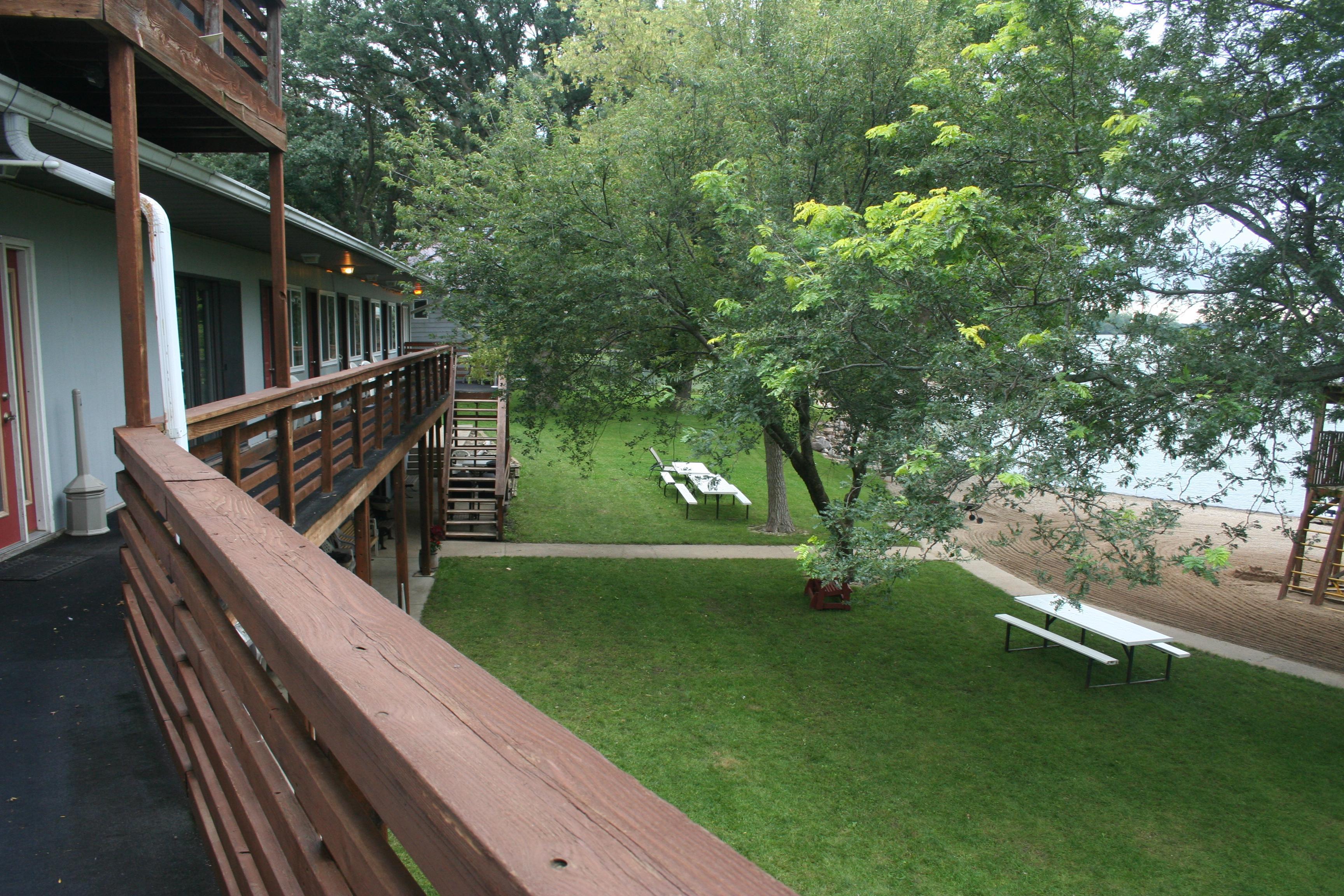
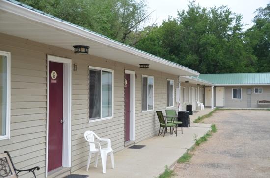
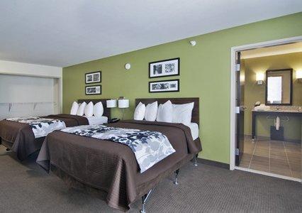
Places to stay
Hang your (vacation) hat in a place that’s just your style.