Vanderbilt, MI
Vanderbilt Map
Vanderbilt is a village in Otsego County in the U.S. state of Michigan. The population was 587 at the 2000 census.
According to the United States Census Bureau, the village has a total area of 1.1 square miles (2.9 km²), all land.
As of the census of 2000, there were 587 people, 241 households, and 148 families residing in the village. The population density was 530.6 per square mile (204.2/km²). There were 269 housing units at an average density of 243.2 per square mile (93.6/km²). The racial makeup of the village was 97.79% White, 0.17% African American, 1.70% Native American, and 0.34% from two or more races.
Nearby cities include Boyne Falls, Walloon Lake, Boyne City, Indian River, Alba.
Places in Vanderbilt
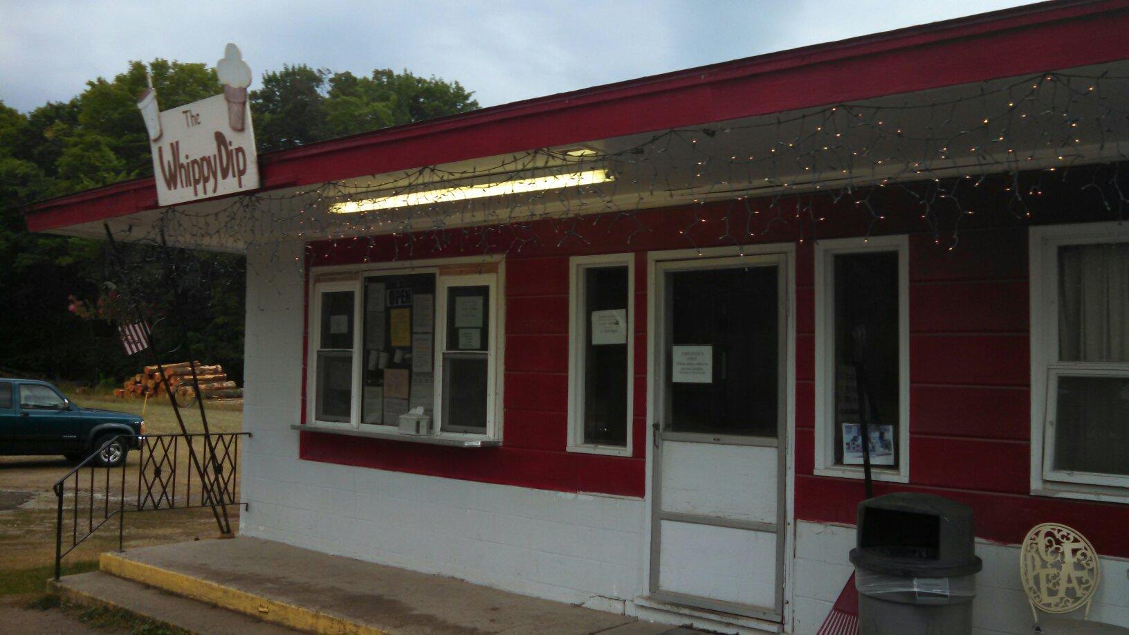
Dine and drink
Eat and drink your way through town.


Can't-miss activities
Culture, natural beauty, and plain old fun.


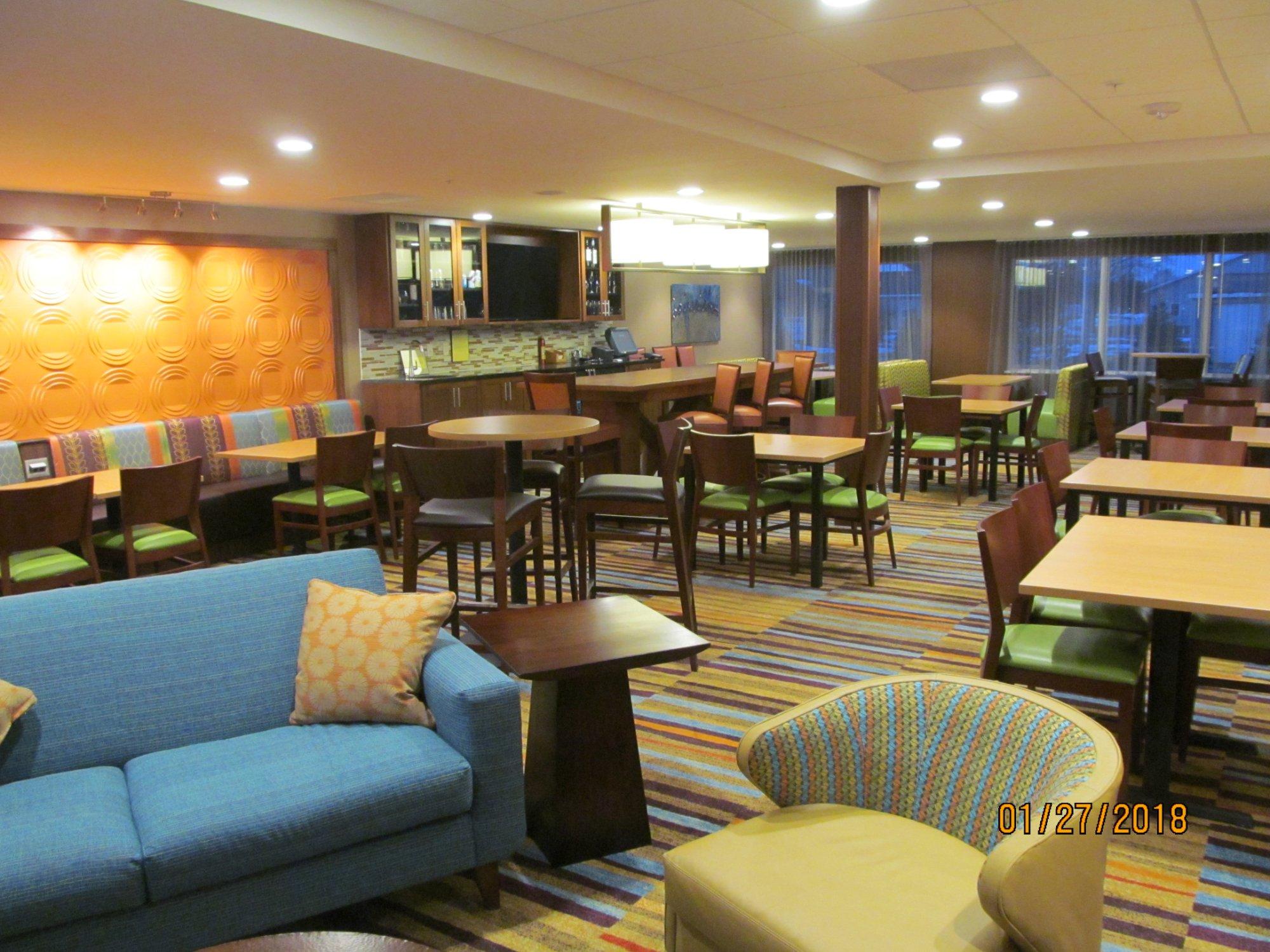
Places to stay
Hang your (vacation) hat in a place that’s just your style.