Vandalia, MI
Vandalia Map
Vandalia is a village in Penn Township, Cass County in the U.S. state of Michigan. The population was 429 at the 2000 census. It is part of the South Bend–Mishawaka, IN-MI, Metropolitan Statistical Area.
According to the United States Census Bureau, the village has a total area of 1.0 square miles (2.6 km²), all land.
As of the census of 2000, there were 429 people, 127 households, and 101 families residing in the village. The population density was 432.5 per square mile (167.3/km²). There were 157 housing units at an average density of 158.3 per square mile (61.2/km²). The racial makeup of the village was 37.30% White, 47.55% African American, 0.23% Native American, 8.39% Asian, 1.17% from other races, and 5.36% from two or more races. Hispanic or Latino of any race were 2.56% of the population.
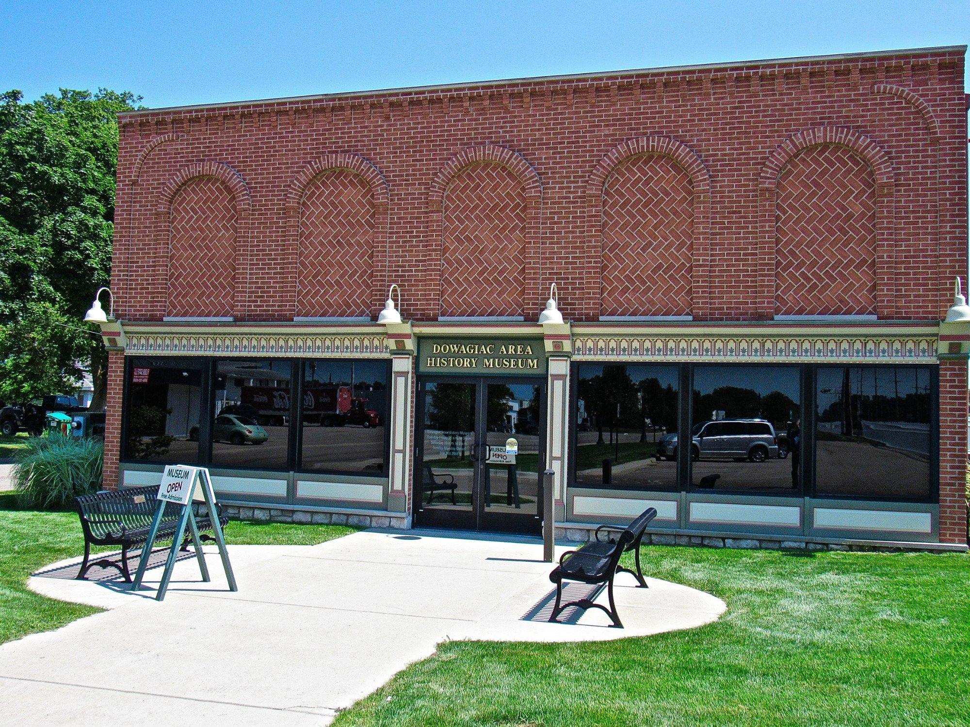
Nearby cities include Dowagiac, Edwardsburg, Decatur, Constantine, Bristol.
Places in Vandalia
Dine and drink
Eat and drink your way through town.


Can't-miss activities
Culture, natural beauty, and plain old fun.


Places to stay
Hang your (vacation) hat in a place that’s just your style.