Springport, MI
Springport Map
Springport is a village in Jackson County of the U.S. state of Michigan. As of the 2000 census, the village population was 704. The village is located within Springport Township on M-99.
According to the United States Census Bureau, the village has a total area of 1.3 square miles (3.3 km²), all land.
As of the census of 2000, there were 704 people, 266 households, and 193 families residing in the village. The population density was 551.7 per square mile (212.4/km²). There were 281 housing units at an average density of 220.2 per square mile (84.8/km²). The racial makeup of the village was 96.73% White, 0.14% African American, 0.43% Native American, 0.28% Asian, 0.14% Pacific Islander, 0.99% from other races, and 1.28% from two or more races. Hispanic or Latino of any race were 1.85% of the population.
Nearby cities include Olivet, Spring Arbor, Concord, Leslie, Charlotte.
Places in Springport
Dine and drink
Eat and drink your way through town.


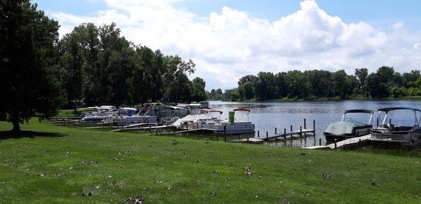
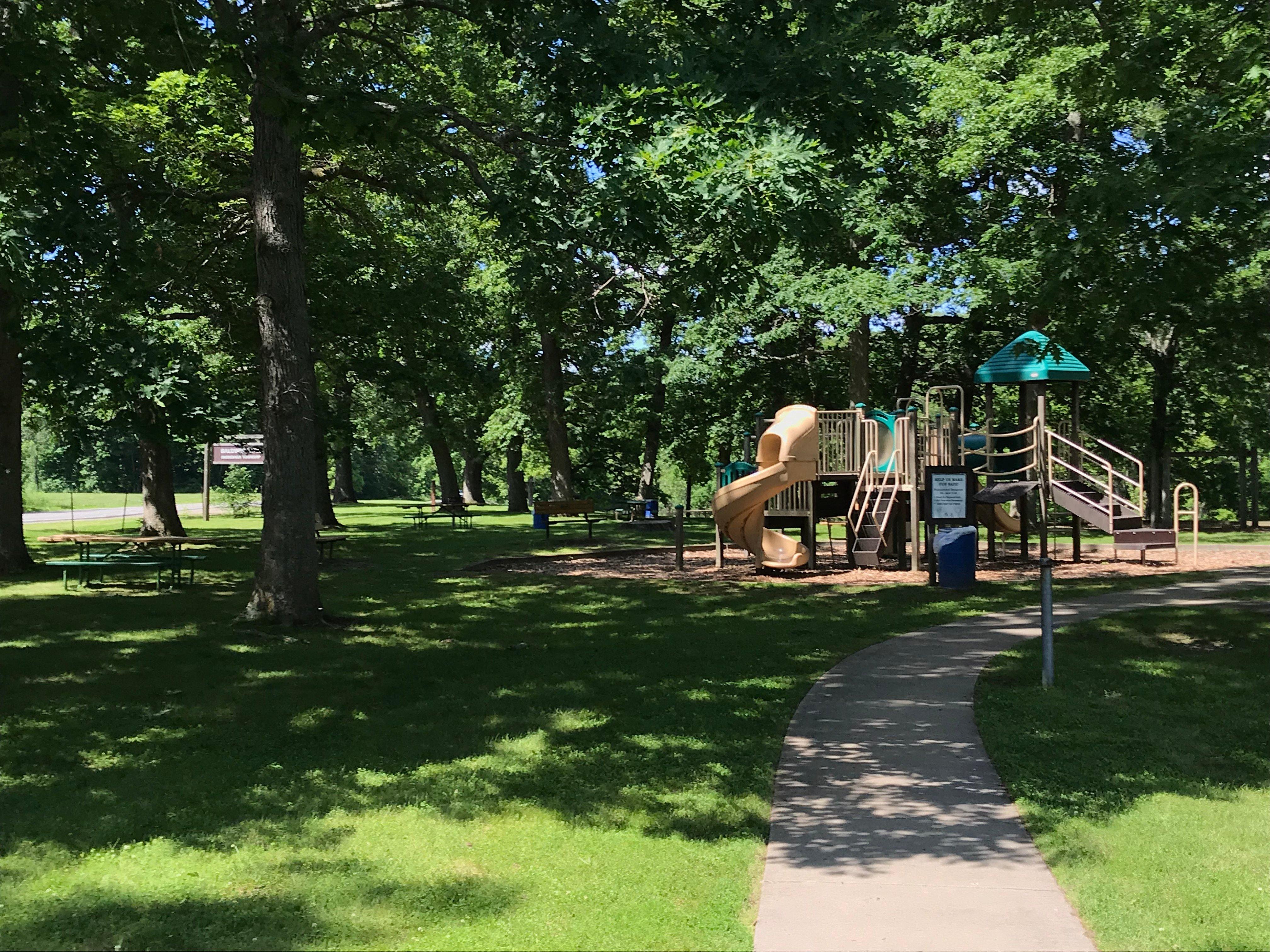
Can't-miss activities
Culture, natural beauty, and plain old fun.


Places to stay
Hang your (vacation) hat in a place that’s just your style.