


Hillsdale County Mapping Department
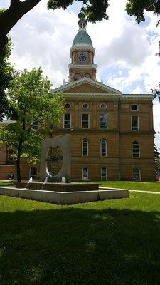
The Hillsdale County Mapping Department, nestled in the heart of Hillsdale, MI, serves as a vital hub within the county's administrative landscape. This county government office plays a crucial role in managing and maintaining geographic information essential for various public services and infrastructure planning. As visitors step into this bustling department, they are greeted by a dedicated team of professionals working tirelessly to ensure accurate mapping data for the benefit of the local community.
With its finger on the pulse of Hillsdale County, this mapping department acts as a central repository of spatial data, supporting decision-making processes across different sectors. Whether it's assisting in land development projects or aiding emergency services in times of need, the meticulous work carried out within these walls has far-reaching implications for the region's development and well-being. Through a blend of technological expertise and geographic insight, the Hillsdale County Mapping Department stands as a cornerstone of efficient governance, quietly shaping the landscape in ways both seen and unseen.
Generated using this place's available information
Also at this address

You might also like
Partial Data by Infogroup (c) 2024. All rights reserved.