Bellevue, MI
Bellevue Map
Bellevue is a village in Eaton County in the U.S. state of Michigan. The population was 1,365 at the 2000 census. The village is located within Bellevue Township.
According to the United States Census Bureau, the village has a total area of 1.0 square miles (2.7 km²), of which, 1.0 square miles (2.6 km²) of it is land and 0.1 square miles (0.2 km²) of it (5.71%) is water.
As of the census of 2000, there were 1,365 people, 525 households, and 372 families residing in the village. The population density was 1,378.7 per square mile (532.4/km²). There were 551 housing units at an average density of 556.5 per square mile (214.9/km²). The racial makeup of the village was 98.10% White, 0.51% African American, 0.22% Native American, 0.07% Asian, 0.15% from other races, and 0.95% from two or more races. Hispanic or Latino of any race were 1.54% of the population.
Nearby cities include Nashville, Battle Creek, Marshall, Charlotte, Vermontville.
Places in Bellevue
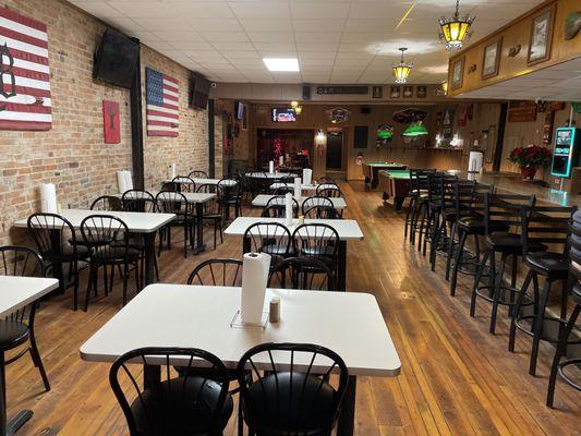
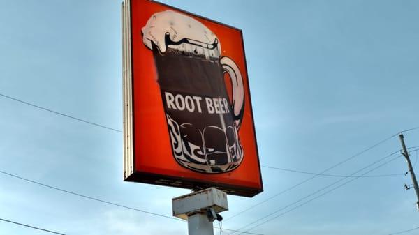
Dine and drink
Eat and drink your way through town.


Can't-miss activities
Culture, natural beauty, and plain old fun.

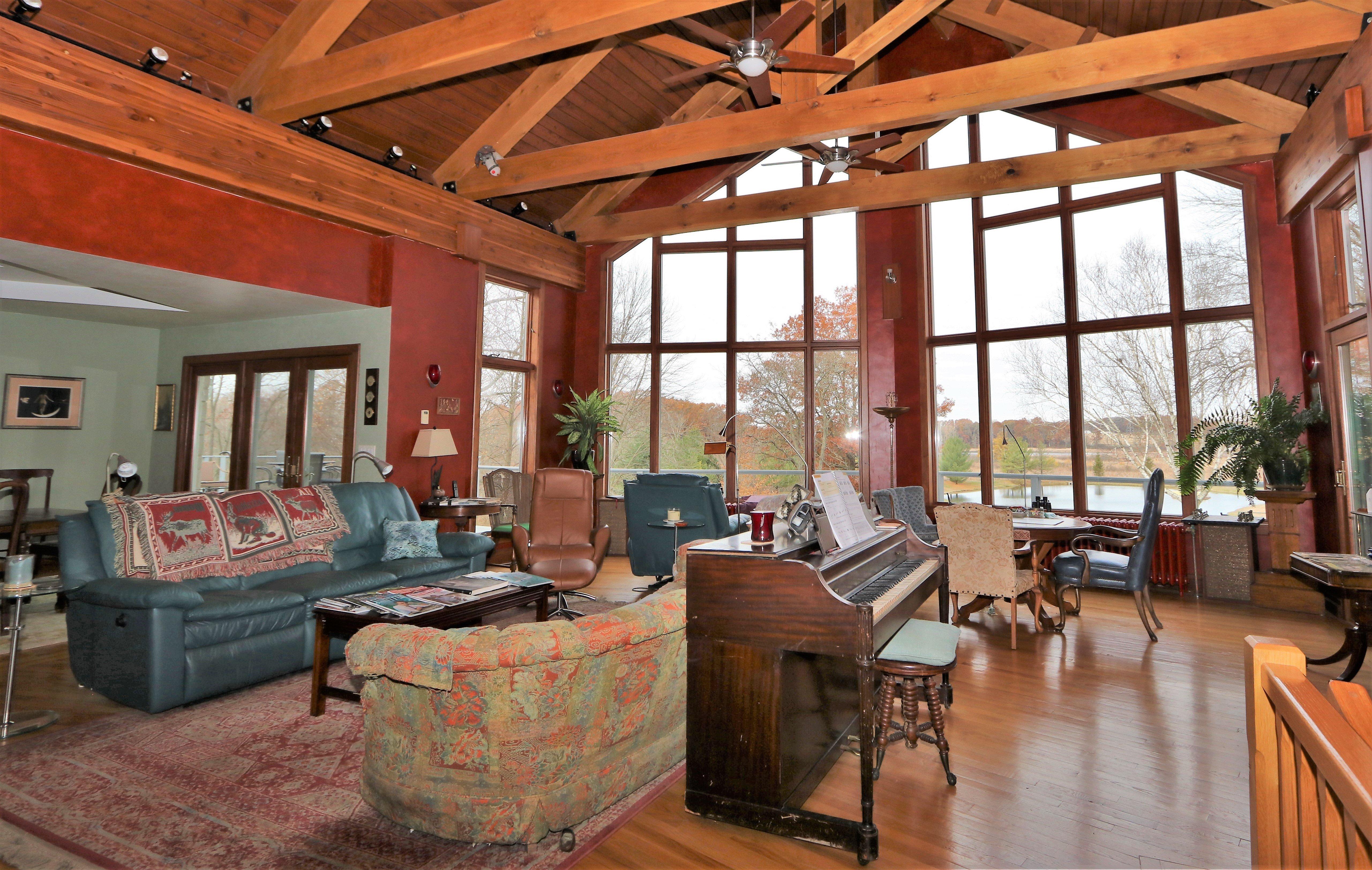
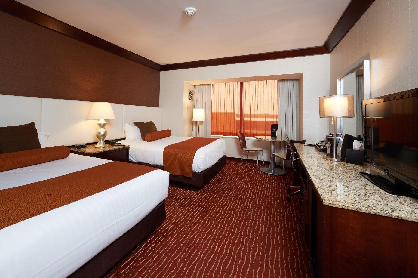
Places to stay
Hang your (vacation) hat in a place that’s just your style.