South Deerfield, MA
South Deerfield, MA Map
South Deerfield is a US city in Franklin County in the state of Massachusetts. Located at the longitude and latitude of -72.600600, 42.476900 and situated at an elevation of 60 meters. In the 2020 United States Census, South Deerfield, MA had a population of 1,930 people. South Deerfield is in the Eastern Standard Time timezone at Coordinated Universal Time (UTC) -5. Find directions to South Deerfield, MA, browse local businesses, landmarks, get current traffic estimates, road conditions, and more.
South Deerfield, Massachusetts, is a quaint New England locale known for its rich agricultural heritage and charming rural landscapes. This town is particularly famous for being the home of Yankee Candle Village, a popular attraction that draws visitors with its extensive collection of candles and home decor, interactive exhibits, and festive events throughout the year. The village also features a Bavarian Christmas Village, Santa's Workshop, and a candle-making museum, making it a must-visit for families and candle enthusiasts alike.
Beyond Yankee Candle, South Deerfield boasts the scenic beauty of Mount Sugarloaf, offering hiking trails and a stunning panoramic view of the Connecticut River Valley from its summit. History buffs can explore the area's deep roots in colonial history, with nearby Historic Deerfield providing a glimpse into 18th-century life through preserved homes and museums. The town's blend of natural beauty and historical significance makes it a delightful destination for those seeking a peaceful retreat with a touch of nostalgia.
Nearby cities include: Sunderland, MA, Whately, MA, Fort Devens, MA, Deerfield, MA, Montague, MA, Leverett, MA, Conway, MA, Hatfield, MA, Greenfield, MA, Amherst, MA.
Places in South Deerfield
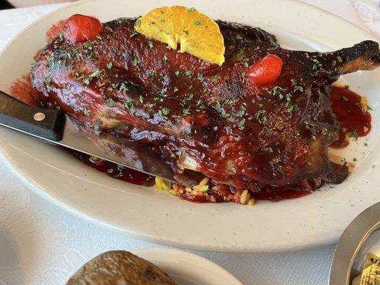
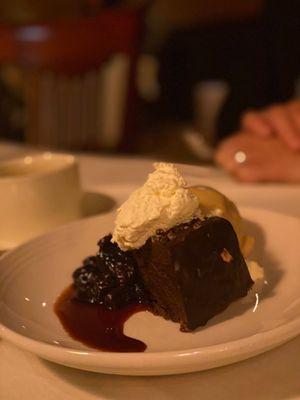
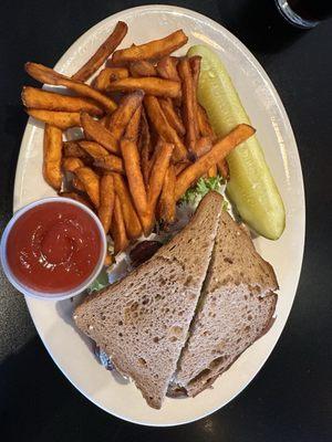
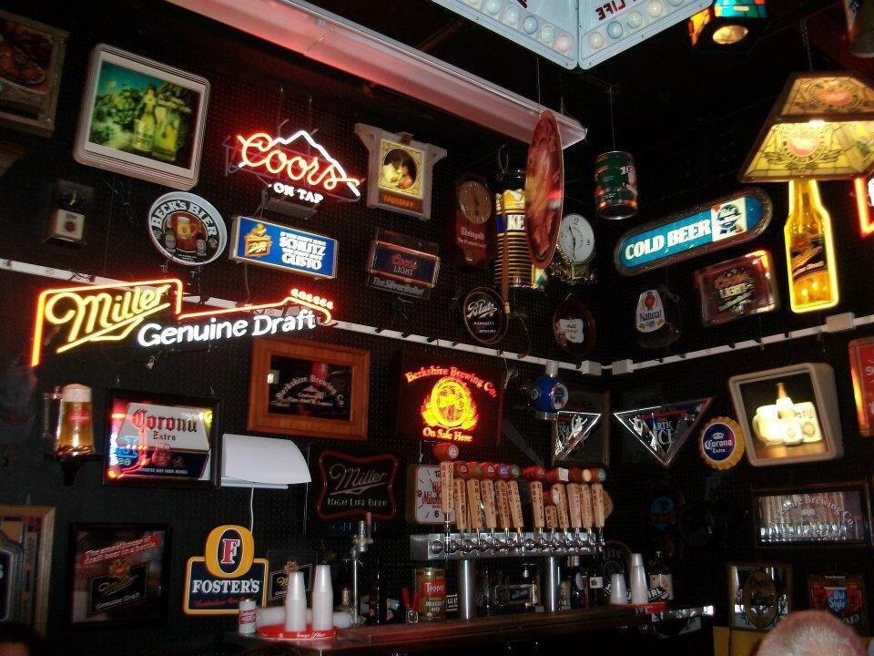
Dine and drink
Eat and drink your way through town.


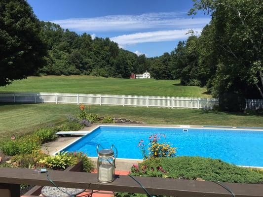
Can't-miss activities
Culture, natural beauty, and plain old fun.


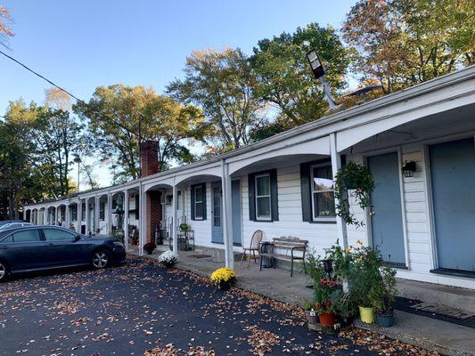
Places to stay
Hang your (vacation) hat in a place that’s just your style.