Mattapoisett Center, MA
Mattapoisett Center, MA Map
Mattapoisett Center is a US city in Bristol County in the state of Massachusetts. Located at the longitude and latitude of -70.802200, 41.660600 and situated at an elevation of 25 meters. In the 2020 United States Census, Mattapoisett Center, MA had a population of 3,190 people. Mattapoisett Center is in the Eastern Standard Time timezone at Coordinated Universal Time (UTC) -5. Find directions to Mattapoisett Center, MA, browse local businesses, landmarks, get current traffic estimates, road conditions, and more.
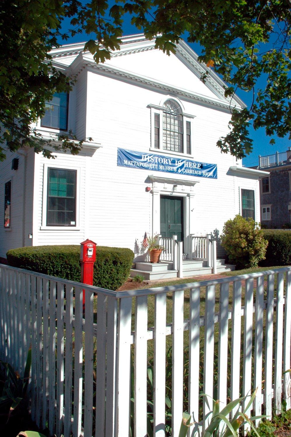
Mattapoisett Center, located in Massachusetts, is a charming coastal town known for its maritime heritage and quintessential New England ambiance. This picturesque locale boasts a rich shipbuilding history, which was particularly prominent in the 19th century when it was a bustling hub for constructing whaling ships. Visitors to Mattapoisett Center can explore its historical roots by visiting the Mattapoisett Museum, which offers a glimpse into the town's past with exhibits that detail its shipbuilding legacy and local culture.
A stroll through the town reveals a collection of well-preserved historic homes and buildings, adding to its quaint charm. Popular spots include Ned's Point Lighthouse, a scenic beacon offering panoramic views of Buzzards Bay, and Shipyard Park, a community gathering spot that hosts events and provides a perfect vantage point for observing the harbor's activity. The town's close-knit community and serene waterfront vistas make it a delightful destination for those seeking a blend of history and coastal beauty.
Nearby cities include: Mattapoisett, MA, Marion, MA, Marion Center, MA, Rochester, MA, Fairhaven, MA, Acushnet Center, MA, Acushnet, MA, New Bedford, MA, Wareham, MA, North Falmouth, MA.
Places in Mattapoisett Center
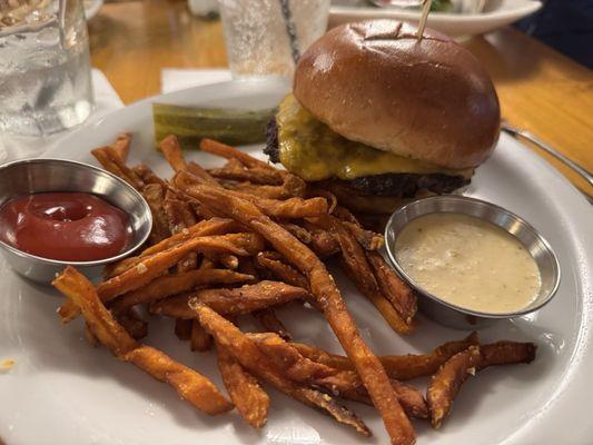
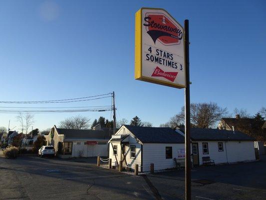
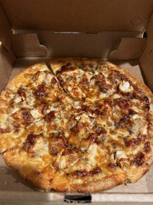
Dine and drink
Eat and drink your way through town.


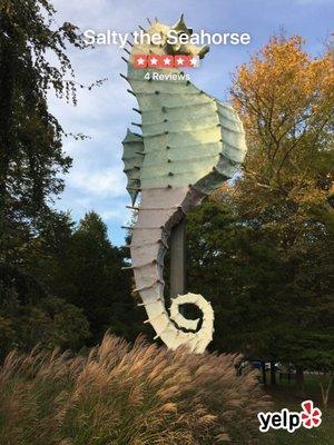
Can't-miss activities
Culture, natural beauty, and plain old fun.


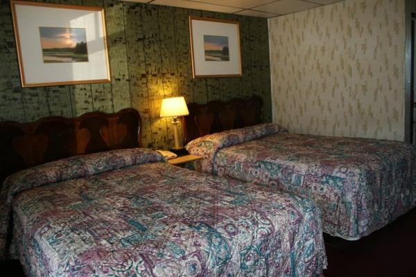
Places to stay
Hang your (vacation) hat in a place that’s just your style.