


Forestdale, MA
Forestdale, MA 02644
Forestdale Map
Forestdale is a village and census-designated place (CDP) within the town of Sandwich in Barnstable County, Massachusetts, United States. The population was 3,992 at the 2000 census. Zip Code: 02644
Forestdale is located at 41°41?0?N 70°30?44?W / 41.683333°N 70.51222°W / 41.683333; -70.51222 (41.683462, -70.512116).
According to the United States Census Bureau, the CDP has a total area of 10.5 km² (4.1 mi²). 9.6 km² (3.7 mi²) of it is land and 0.9 km² (0.3 mi²) of it (8.40%) is water.
Nearby cities include Falmouth, Hyannis, Yarmouth Port, Woods Hole, West Yarmouth.
Places in Forestdale
Dine and drink
Eat and drink your way through town.


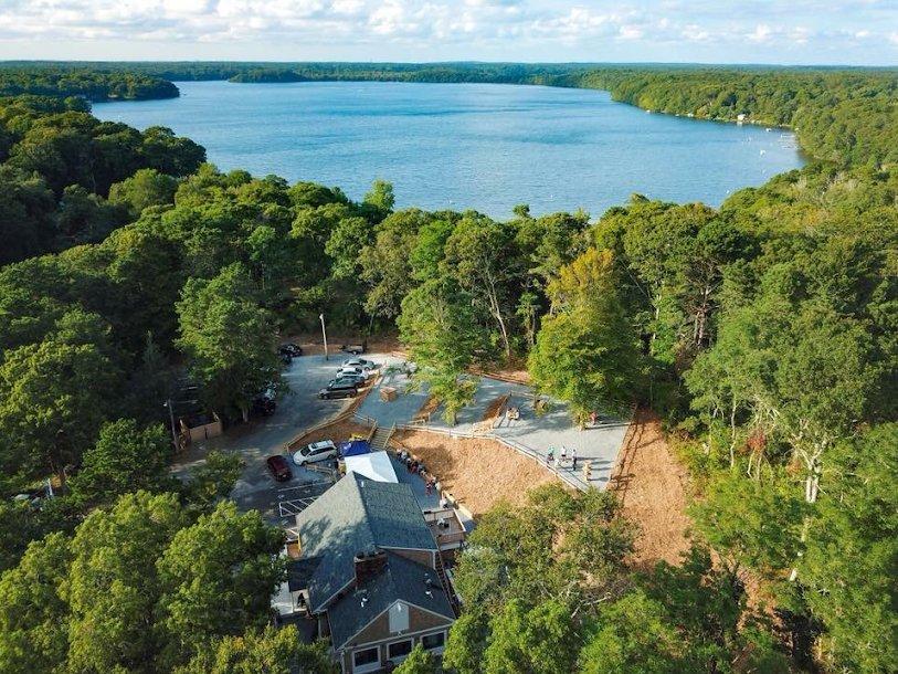
Can't-miss activities
Culture, natural beauty, and plain old fun.


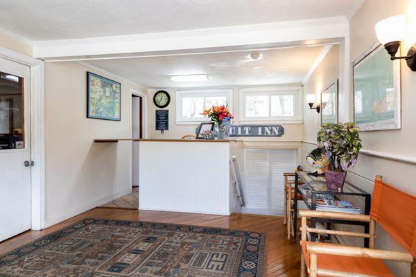
Places to stay
Hang your (vacation) hat in a place that’s just your style.


See a problem?