Marlow Heights, MD
Marlow Heights, MD Map
Marlow Heights is a US city in Prince George's County in the state of Maryland. Located at the longitude and latitude of -76.947800, 38.825300 and situated at an elevation of 80 meters. In the 2020 United States Census, Marlow Heights, MD had a population of 6,169 people. Marlow Heights is in the Eastern Standard Time timezone at Coordinated Universal Time (UTC) -5. Find directions to Marlow Heights, MD, browse local businesses, landmarks, get current traffic estimates, road conditions, and more.
Marlow Heights, located in Maryland, is a community known for its significant contributions to retail and suburban development in the mid-20th century. A notable landmark in the area is the Marlow Heights Shopping Center, which opened in 1957 and became a central hub for shopping and socializing. This shopping center marked a shift towards the suburban shopping experience, drawing visitors from surrounding areas. Today, the center continues to serve as a key commercial area, housing a variety of stores and eateries that cater to the local community.
Aside from its commercial appeal, Marlow Heights is also recognized for its local parks and community-focused amenities. Henson Creek Park is a popular spot for outdoor activities, offering trails, picnic areas, and sports facilities. The park provides a green escape for residents and visitors looking to enjoy nature within an urban setting. Overall, Marlow Heights blends its historical roots in retail with community-oriented spaces, making it a unique destination within Maryland.
Nearby cities include: Temple Hills, MD, Silver Hill, MD, Hillcrest Heights, MD, Suitland, MD, Washington Highlands, DC, Oxon Hill, MD, Forest Heights, MD, Morningside, MD, District Heights, MD, Andrews Air Force Base, MD.
Places in Marlow Heights
Dine and drink
Eat and drink your way through town.


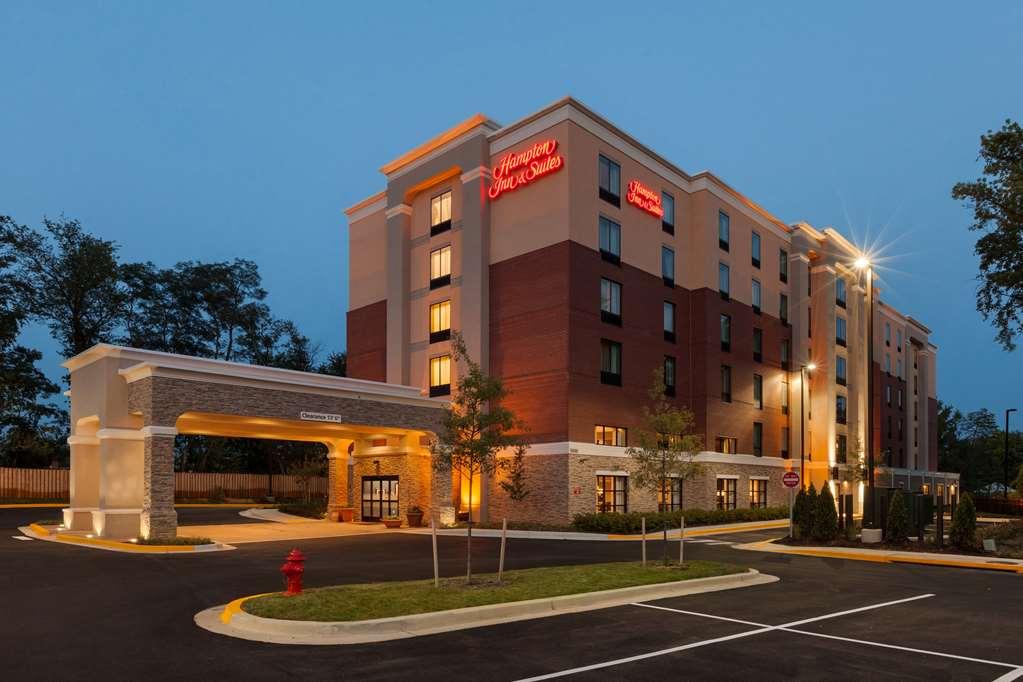
Places to stay
Hang your (vacation) hat in a place that’s just your style.