Marlboro Meadows, MD
Marlboro Meadows, MD Map
Marlboro Meadows is a US city in Prince George's County in the state of Maryland. Located at the longitude and latitude of -76.714970, 38.836220 and situated at an elevation of 30 meters. In the 2020 United States Census, Marlboro Meadows, MD had a population of 3,655 people. Marlboro Meadows is in the Eastern Standard Time timezone at Coordinated Universal Time (UTC) -5. Find directions to Marlboro Meadows, MD, browse local businesses, landmarks, get current traffic estimates, road conditions, and more.
Marlboro Meadows, nestled in the state of Maryland, offers a quaint and serene environment that captures the essence of suburban charm. While it might not be as bustling as larger cities, it is known for its community-oriented atmosphere and lush green spaces that provide a peaceful retreat from the urban hustle. The area is characterized by its picturesque landscapes and well-maintained parks, making it an ideal spot for those who enjoy outdoor activities and leisurely strolls.
Though Marlboro Meadows may not boast a plethora of tourist attractions, its proximity to natural reserves and local parks makes it appealing to nature lovers and families seeking a relaxing day out. Historical markers scattered throughout the area hint at its rich past, giving visitors a glimpse into the region's development over the years. Whether you're passing through or looking for a quiet place to unwind, Marlboro Meadows offers a slice of tranquility and a touch of local history.
Nearby cities include: Upper Marlboro, MD, Brock Hall, MD, Queenland, MD, Melwood, MD, Bowie, MD, Bowie, MD, Davidsonville, MD, Woodmore, MD, Dunkirk, MD, Andrews Air Force Base, MD.
Places in Marlboro Meadows
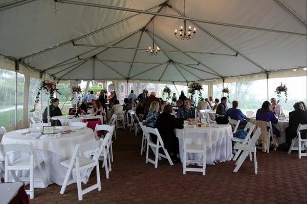
Dine and drink
Eat and drink your way through town.


Places to stay
Hang your (vacation) hat in a place that’s just your style.