La Vale, MD
La Vale, MD Map
La Vale is a US city in Allegany County in the state of Maryland. Located at the longitude and latitude of -78.812800, 39.654700 and situated at an elevation of 239 meters. In the 2020 United States Census, La Vale, MD had a population of 4,201 people. La Vale is in the Eastern Standard Time timezone at Coordinated Universal Time (UTC) -5. Find directions to La Vale, MD, browse local businesses, landmarks, get current traffic estimates, road conditions, and more.
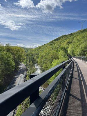
La Vale, Maryland, is a quaint unincorporated community known for its charming suburban atmosphere and scenic landscapes. Nestled in the heart of the Appalachian Mountains, it serves as a gateway to the region's natural beauty, offering easy access to outdoor activities like hiking and biking. A notable feature of La Vale is the La Vale Toll Gate House, a historic landmark that dates back to the 19th century and is one of the last remaining toll gate houses in Maryland, reflecting the area's rich historical roots. This site is a must-visit for history enthusiasts eager to glimpse into the past.
Visitors to La Vale can explore the Country Club Mall, a local shopping destination that provides a variety of retail options, dining experiences, and entertainment. Additionally, La Vale is known for its friendly community events and local eateries that offer a taste of regional cuisine. Whether you're passing through or planning a longer stay, La Vale's blend of history, shopping, and proximity to nature makes it a pleasant stop in western Maryland.
Nearby cities include: Carpendale, WV, Bowling Green, MD, Ridgeley, WV, Cumberland, MD, Wiley Ford, WV, Bowmans Addition, MD, Mount Savage, MD, Ellerslie, MD, Wellersburg, PA, Bel Air, MD.
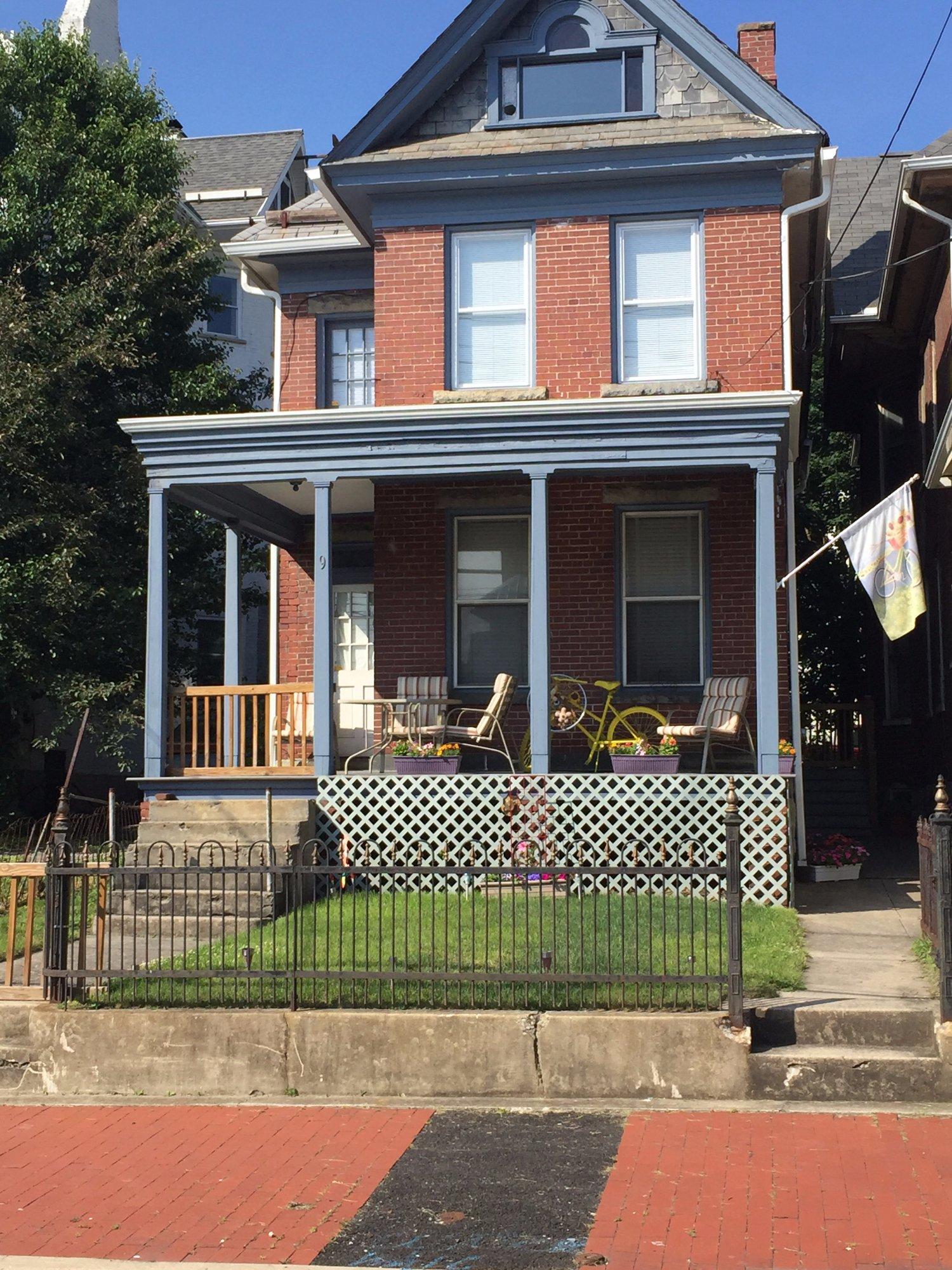
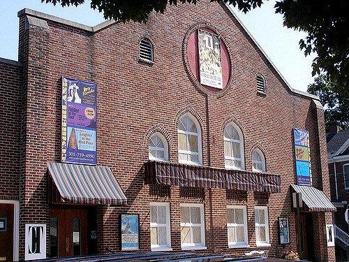
Places in La Vale
Dine and drink
Eat and drink your way through town.


Can't-miss activities
Culture, natural beauty, and plain old fun.


Places to stay
Hang your (vacation) hat in a place that’s just your style.