Mapleton, ME
Mapleton Map
Mapleton is a town in Aroostook County, Maine, United States. The population was 1,948 at the 2010 census.
According to the United States Census Bureau, the town has a total area of 34.4 square miles (89.1 km²), of which, 34.0 square miles (88.2 km²) of it is land and 0.4 square miles (1.0 km²) of it (1.08%) is water.
As of the census of 2000, there were 1,889 people, 749 households, and 548 families residing in the town. The population density was 55.5 people per square mile (21.4/km²). There were 787 housing units at an average density of 23.1 per square mile (8.9/km²). The racial makeup of the town was 98.31% White, 1.01% Native American, 0.05% Pacific Islander, 0.32% from other races, and 0.32% from two or more races. Hispanic or Latino of any race were 0.48% of the population.
Nearby cities include Ashland, Caribou, Fort Fairfield, Mars Hill, Blaine.
Places in Mapleton
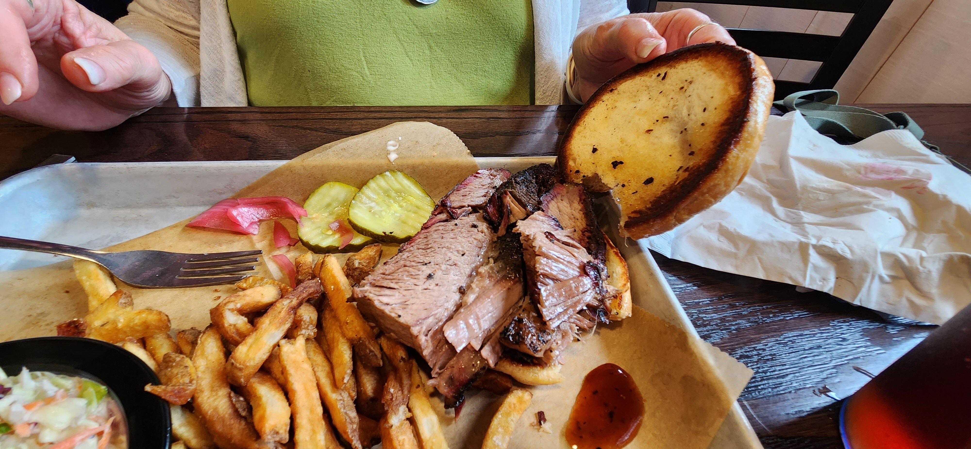
Dine and drink
Eat and drink your way through town.


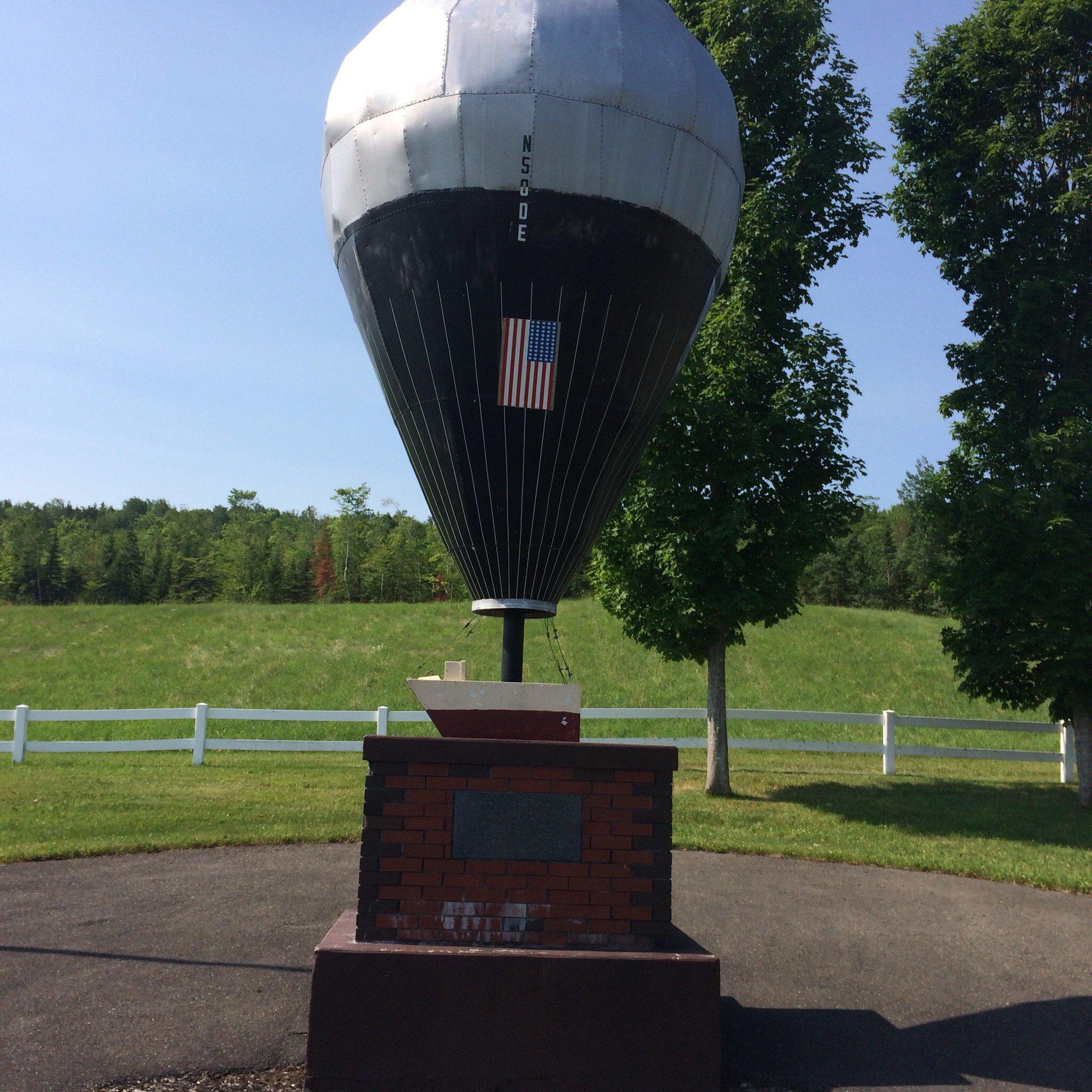
Can't-miss activities
Culture, natural beauty, and plain old fun.


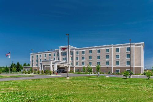
Places to stay
Hang your (vacation) hat in a place that’s just your style.