


Sun, LA
Sun, LA 70463
Sun Map
Sun is a village in the northeastern corner of St. Tammany Parish, Louisiana, United States. The population was 471 at the 2000 census. It is part of the New Orleans–Metairie–Kenner Metropolitan Statistical Area.
Sun, Louisiana is located at 30°39?0?N 89°54?1?W / 30.65°N 89.90028°W / 30.65; -89.90028.
According to the United States Census Bureau, the village has a total area of 4.5 square miles (11.6 km²). 4.3 square miles (11.2 km²) of it is land and 0.1 square miles (0.4 km²) of it (3.14%) is water.
Nearby cities include Abita Springs, Picayune, Folsom, Covington, Bogalusa.
Places in Sun
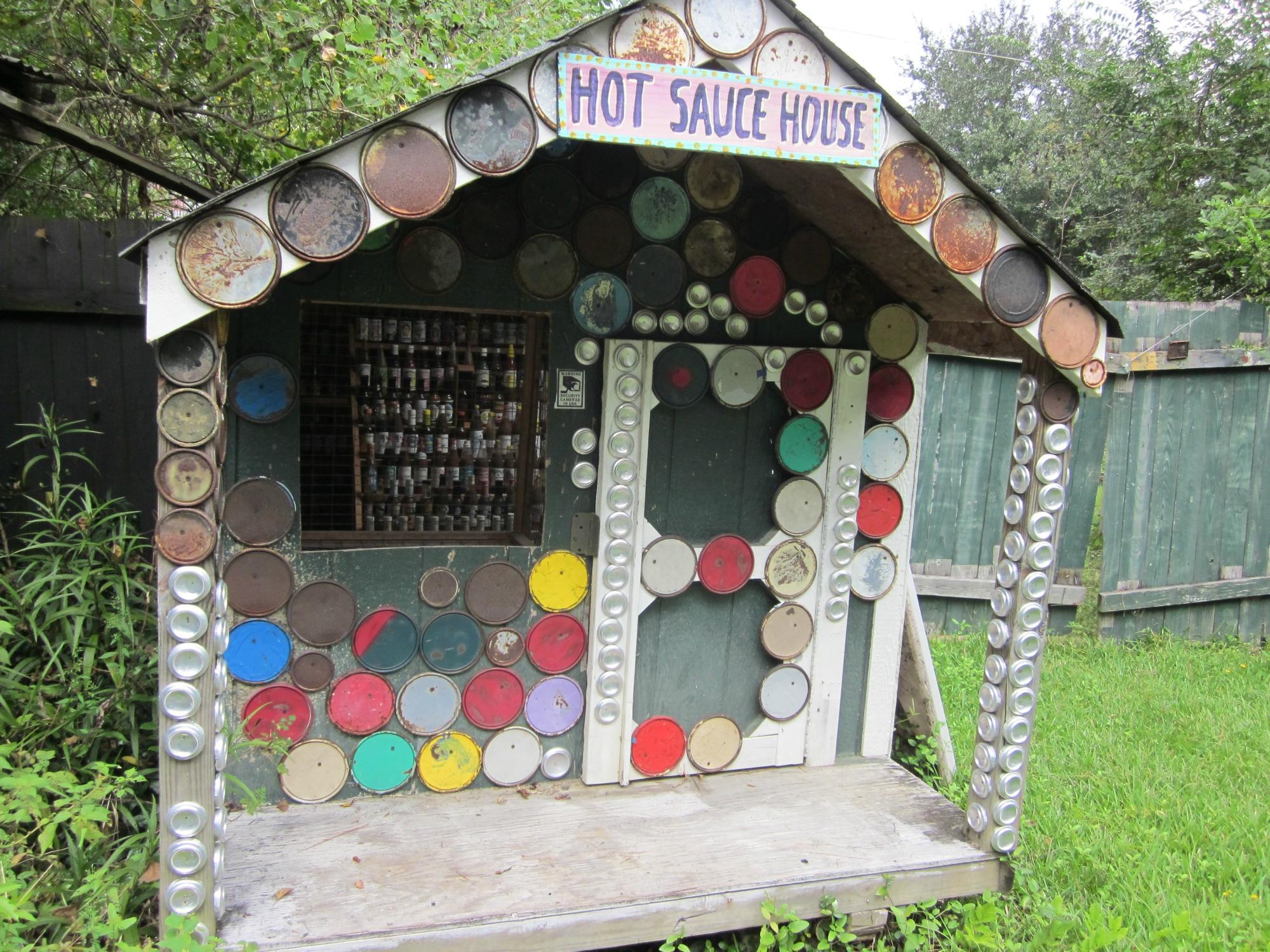
Dine and drink
Eat and drink your way through town.


Can't-miss activities
Culture, natural beauty, and plain old fun.


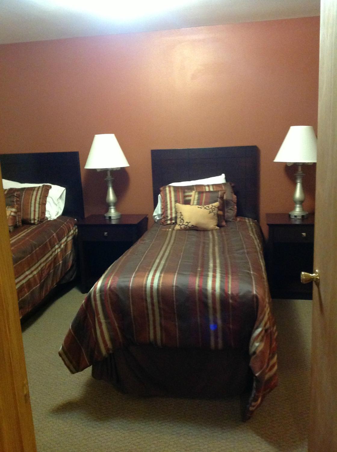
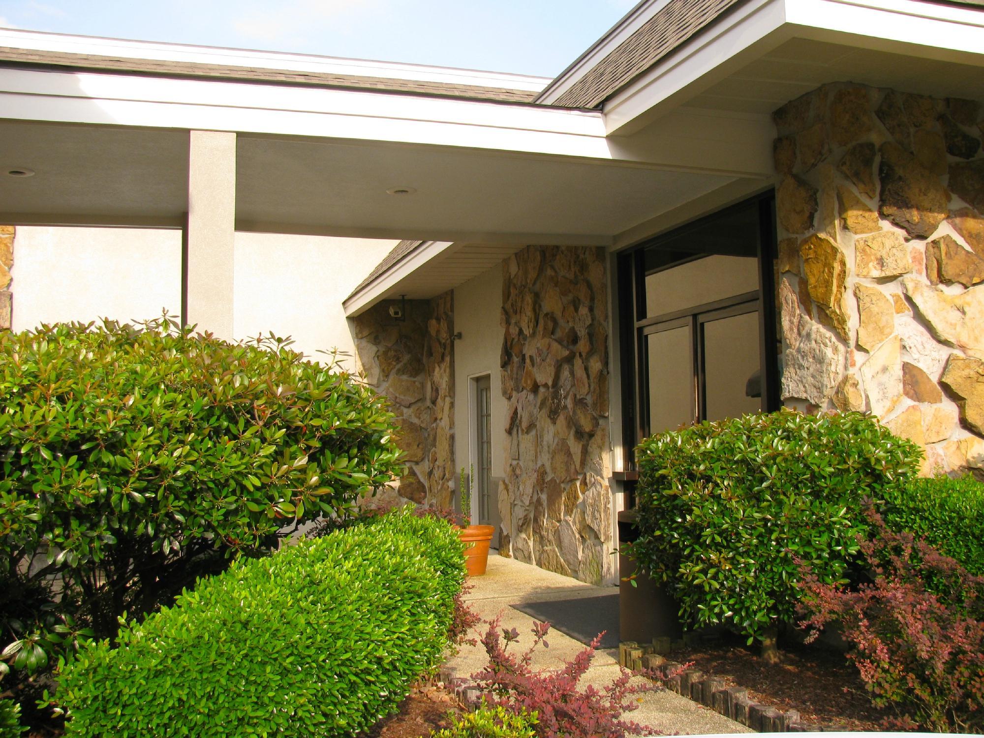
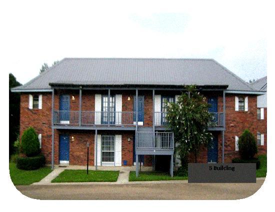
Places to stay
Hang your (vacation) hat in a place that’s just your style.

See a problem?