


Gulf Coast Aerial Mapping Co
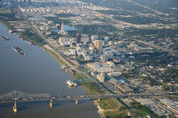
Gulf Coast Aerial Mapping Co. Inc. specializes in aerial photography and mapping services utilizing state-of-the-art technology, including the LEICA DMC large format multi-sensor digital mapping camera. With capabilities to capture color, color IR, and panchromatic images, the company supports a diverse range of mapping, geographic information systems (GIS), and remote sensing applications.
Dedicated to accuracy and precision, Gulf Coast Aerial Mapping Co. Inc. offers services such as topographic mapping, planimetric mapping, and volume calculations, backed by experienced staff and advanced equipment. Their commitment to meeting client needs ensures reliable data crucial for any project requirement.
Generated from the website
Also at this address

You might also like

Partial Data by Infogroup (c) 2025. All rights reserved.