


Albany, LA
Albany, LA 70711
Albany Map
Albany is a village in Livingston Parish, Louisiana, United States. The population was 865 at the 2000 census. It is part of the Baton Rouge Metropolitan Statistical Area.
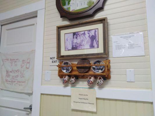
The settlement was established in 1896 by Hungarians, under the name Árpádhon (Árpád, the leader of the Hungarian tribes and -hon as home(land)).
Albany is located at 30°30?12?N 90°35?2?W / 30.50333°N 90.58389°W / 30.50333; -90.58389 (30.503218, -90.583986).
Nearby cities include Independence, Walker, Roseland, Port Vincent, Springfield.
Places in Albany
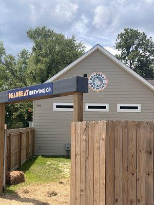
Dine and drink
Eat and drink your way through town.


Can't-miss activities
Culture, natural beauty, and plain old fun.


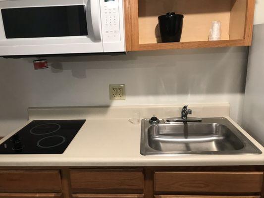
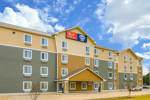
Places to stay
Hang your (vacation) hat in a place that’s just your style.

See a problem?