


Upton, KY
Upton, KY 42784
Upton Map
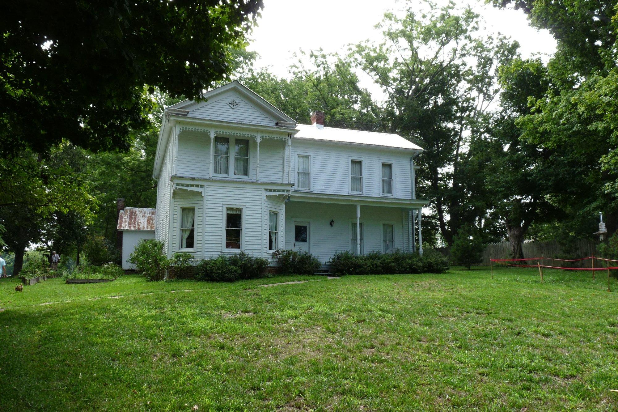
Upton is a city in Hardin and LaRue Counties in the U.S. state of Kentucky. The population was 654 at the 2000 census. It is included in the Elizabethtown, Kentucky Metropolitan Statistical Area.
Upton is located at 37°27?44?N 85°53?43?W / 37.46222°N 85.89528°W / 37.46222; -85.89528 (37.462175, -85.895335).
According to the United States Census Bureau, the city has a total area of 1.5 square miles (4.0 km²), all land. US Highway 31-W runs through the middle of town. Upton can be reached from exit 76 on Interstate 65.
Nearby cities include Buffalo, Hodgenville, Munfordville, Cecilia, Hardyville.
Places in Upton
Dine and drink
Eat and drink your way through town.


Can't-miss activities
Culture, natural beauty, and plain old fun.


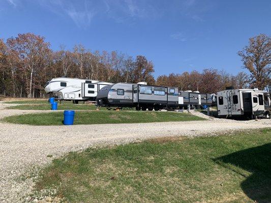
Places to stay
Hang your (vacation) hat in a place that’s just your style.


See a problem?