Sebree, KY
Sebree, KY Map
Sebree is a US city in Webster County in the state of Kentucky. Located at the longitude and latitude of -87.529400, 37.608100 and situated at an elevation of 118 meters. In the 2020 United States Census, Sebree, KY had a population of 1,574 people. Sebree is in the Central Standard Time timezone at Coordinated Universal Time (UTC) -6. Find directions to Sebree, KY, browse local businesses, landmarks, get current traffic estimates, road conditions, and more.
Sebree, Kentucky, is a small city with a rich historical backdrop and a community focused on preserving its heritage. Founded in the late 19th century, Sebree is known for its quaint charm and the Sebree Springs Park, which serves as a local hub for outdoor activities and community events. The park is a popular spot for picnics, family gatherings, and offers a serene environment for leisurely walks.
The city is also home to the Sebree Deposit Bank, a notable historical building that stands as a testament to the town's economic past. Visitors interested in the architectural and historical aspects of Sebree often appreciate the town's well-preserved structures that echo the stories of its early days. While Sebree may not be a bustling metropolis, it offers a glimpse into the history and lifestyle of a traditional Kentucky town, making it a unique stop for those exploring the region's cultural landscape.
Nearby cities include: Robards, KY, Beech Grove, KY, Slaughters, KY, Dixon, KY, Corydon, KY, Hanson, KY, Calhoun, KY, Henderson, KY, Manitou, KY, Nebo, KY.
Places in Sebree
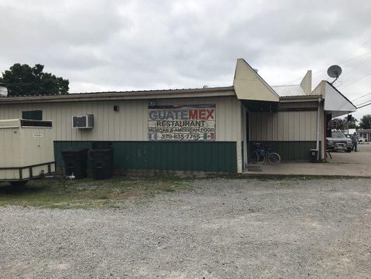
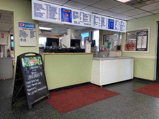
Dine and drink
Eat and drink your way through town.

Can't-miss activities
Culture, natural beauty, and plain old fun.
Places to stay
Hang your (vacation) hat in a place that’s just your style.