Augusta, KY
Augusta Map
Augusta is a city in Bracken County, Kentucky, United States, along the Ohio River. As of the 2005 census, the city population was 2,004. When Bracken County was organized in 1796, Augusta was the county seat. In 1839, a new county courthouse was built at a more central location in Brooksville.
Augusta is located at 38°46?21?N 84°0?6?W / 38.7725°N 84.00167°W / 38.7725; -84.00167 (38.772556, -84.001530).
According to the United States Census Bureau, the city has a total area of 1.6 square miles (4.1 km2), of which 1.2 square miles (3.1 km2) is land and 0.4 square miles (1.0 km2) (26.67%) is water.
Nearby cities include Hamersville, Moscow, Russellville, Bethel, Maysville.
Places in Augusta
Dine and drink
Eat and drink your way through town.


Can't-miss activities
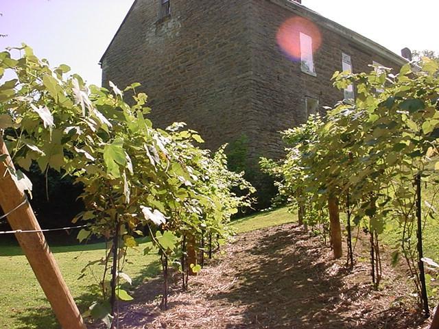
Culture, natural beauty, and plain old fun.
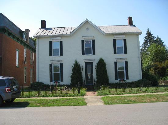

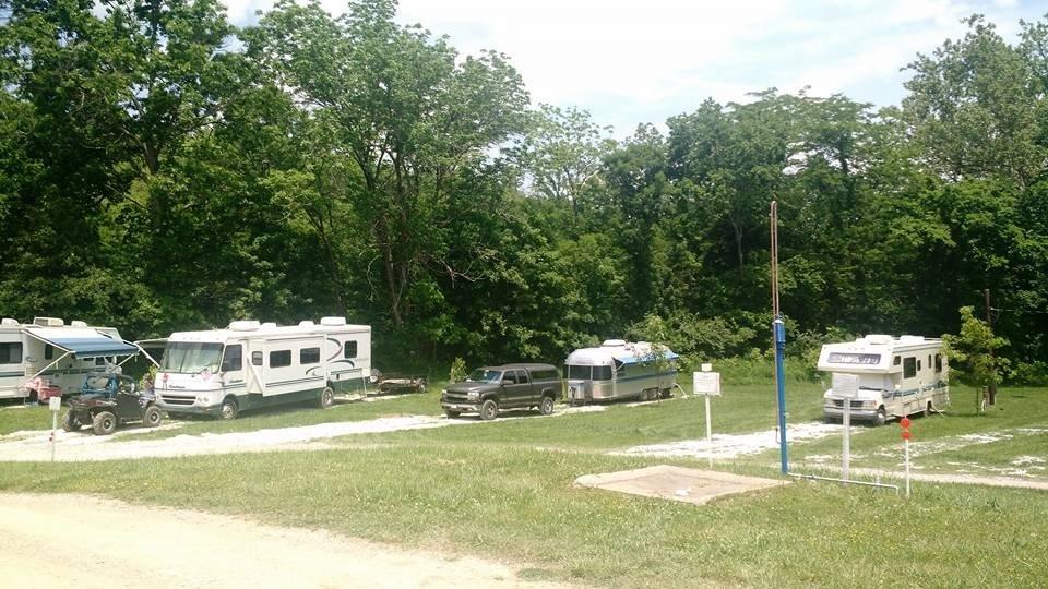
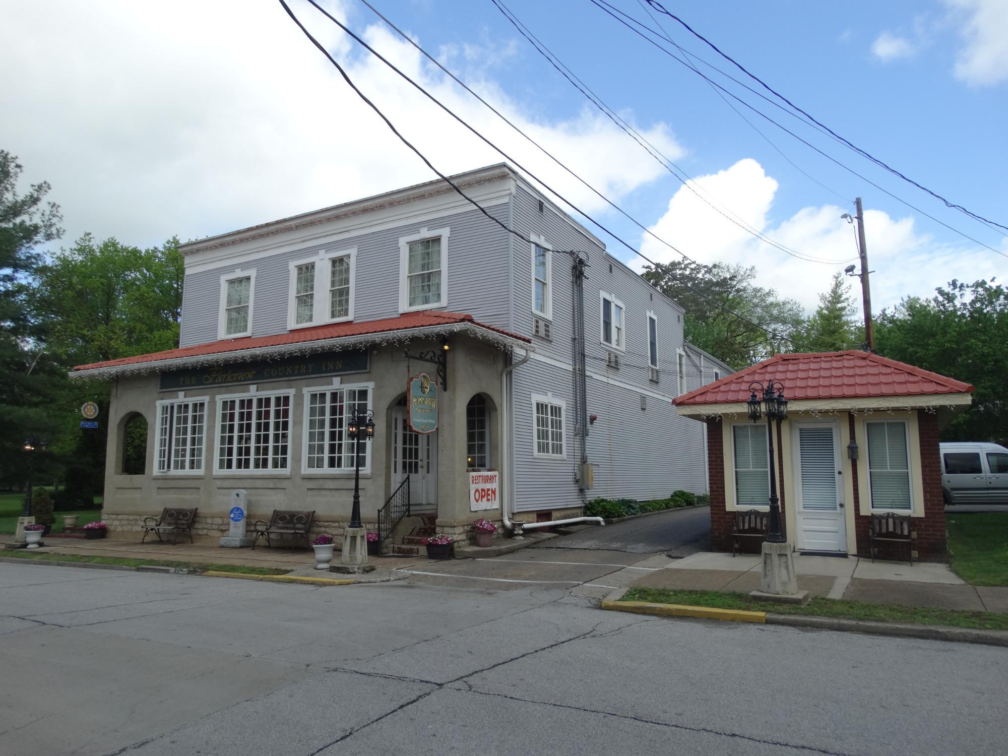
Places to stay
Hang your (vacation) hat in a place that’s just your style.