Allen, KY
Allen Map
Allen is a city in Floyd County, Kentucky, United States. The population was 150 at the 2000 census.
Allen was first settled in the early nineteenth century. The first post office was named the Mouth of Beaver and was established on August 21, 1854, with Thomas P. Johns as postmaster. The town began to develop rapidly circa 1904-1905 after the establishment of a Chesapeake and Ohio Railroad Station. The station was interchangeably known as Beaver Creek or Beaver Creek Junction. In 1905, another post office opened and was named Allen after local resident, T.J. Allen. In 1936, both the railroad station and the city were renamed Allen in order to prevent confusion with the shipment of mail. The section of the city known as New Allen, began to develop in 1937 after a bridge was constructed across the Levisa Fork River.
Allen is located at 37°36?48?N 82°43?33?W / 37.61333°N 82.72583°W / 37.61333; -82.72583 (37.613421, -82.725826).
Nearby cities include Wayland, Pikeville, Paintsville, Wheelwright, Martin.
Places in Allen
Dine and drink
Eat and drink your way through town.


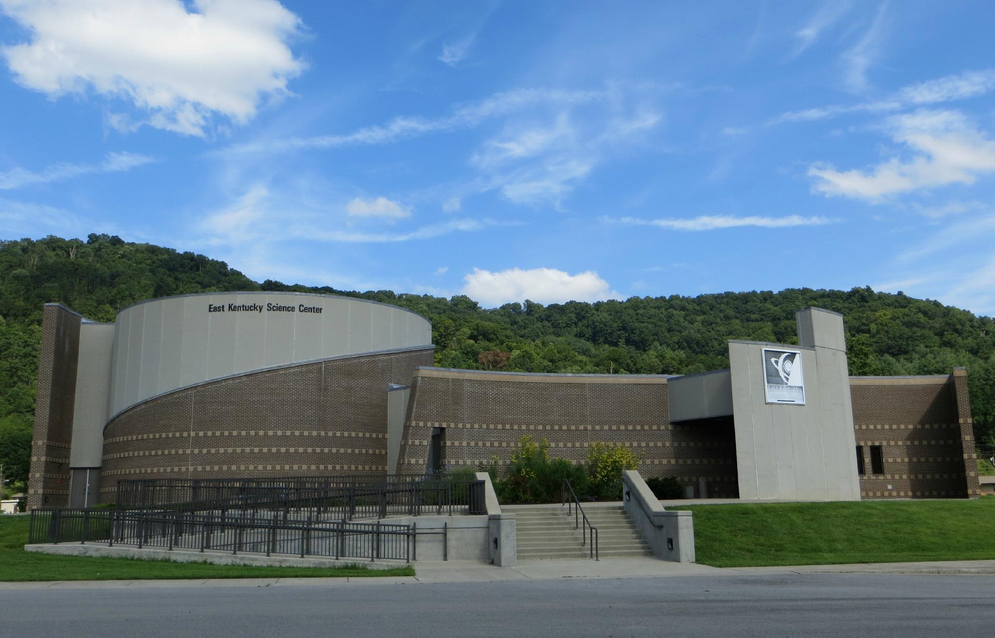
Can't-miss activities
Culture, natural beauty, and plain old fun.


Places to stay
Hang your (vacation) hat in a place that’s just your style.