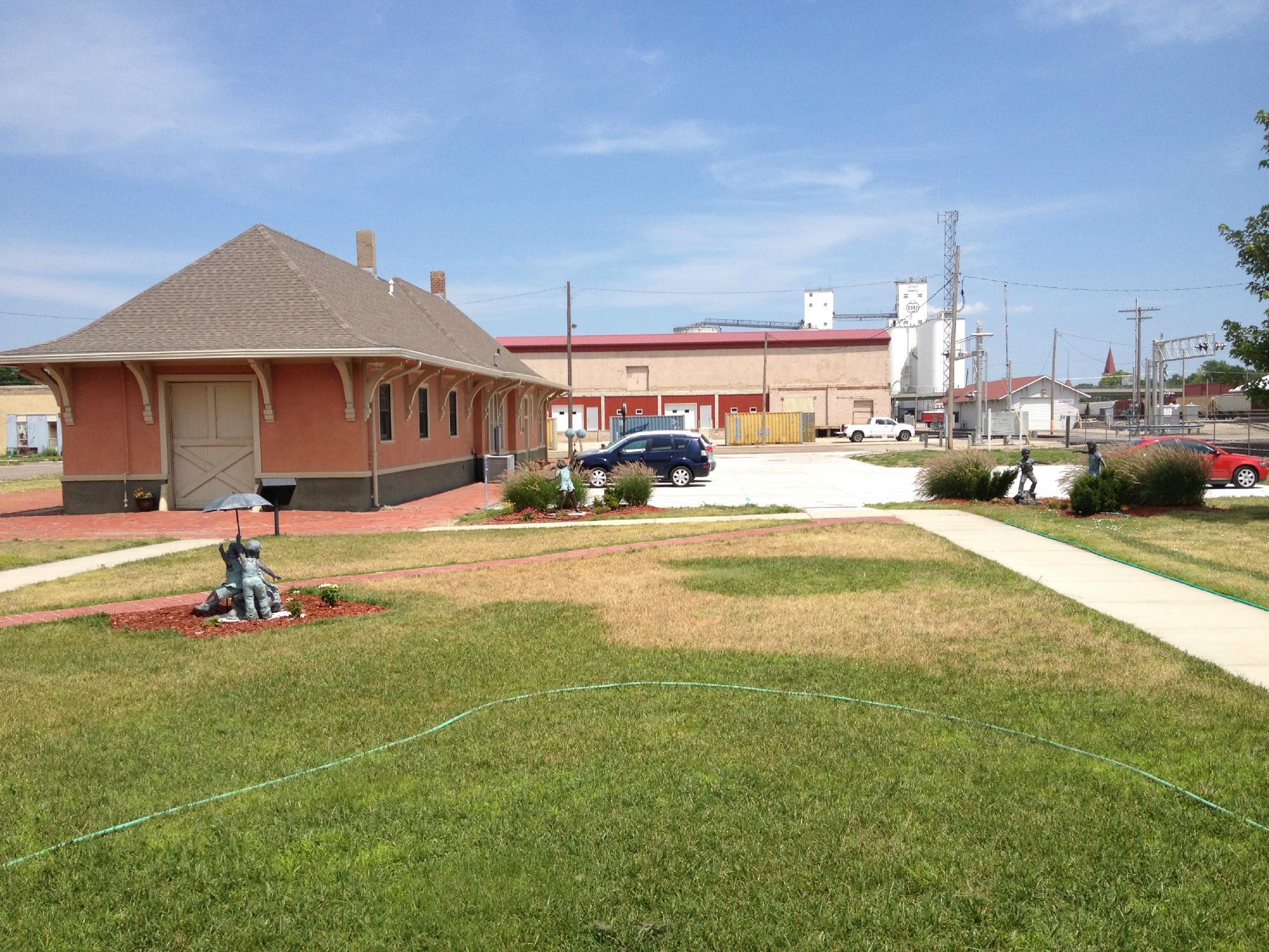
Simpson, KS
Simpson Map
Simpson is a city in Cloud and Mitchell counties in Kansas, United States. As of the 2010 census, the city population was 86.
Simpson is located at 39°23?04?N 97°55?56?W / 39.384460°N 97.932291°W / 39.384460; -97.932291 (39.384460, -97.932291). According to the United States Census Bureau, the city has a total area of 0.2 square miles (0.6 km2), all land.
As of the census of 2000, there were 114 people, 46 households, and 33 families residing in the city. The population density was 475.3 people per square mile (183.4/km2). There were 58 housing units at an average density of 241.8 per square mile (93.3/km2). The racial makeup of the city was 100.00% White.
Nearby cities include Beloit, Delphos, Barnard, Jamestown, Randall.
Places in Simpson
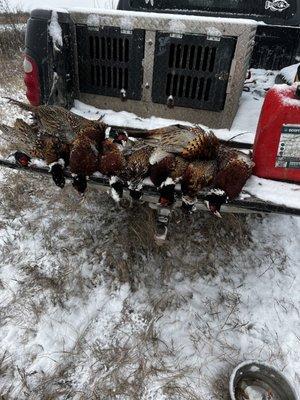
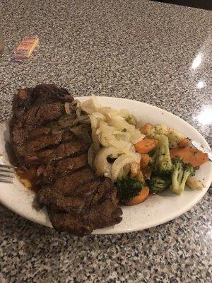
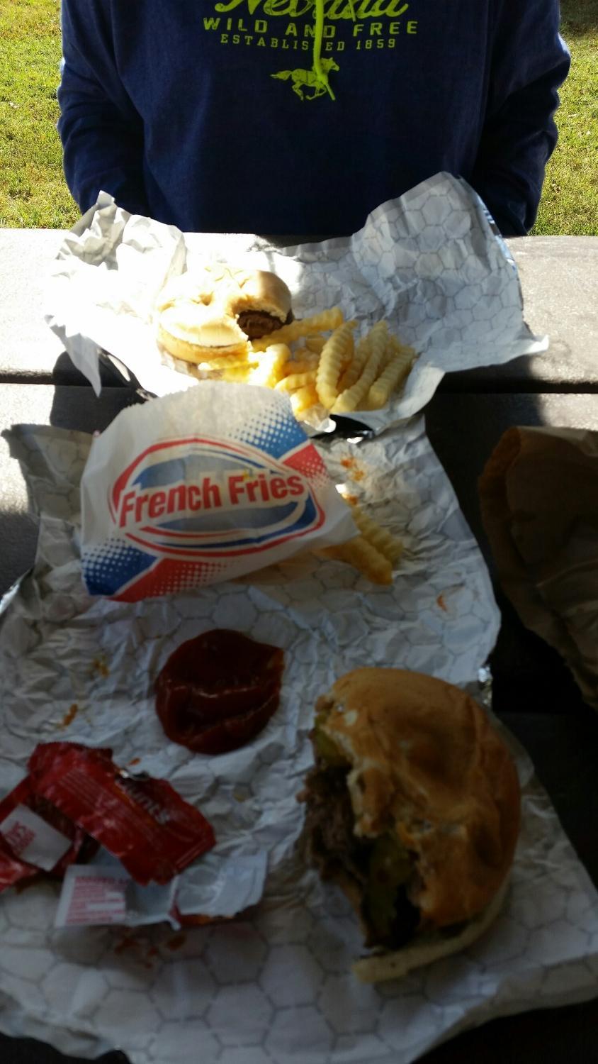
Dine and drink
Eat and drink your way through town.


Can't-miss activities
Culture, natural beauty, and plain old fun.

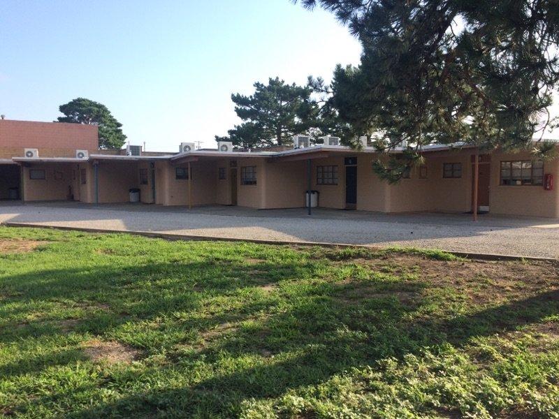
Places to stay
Hang your (vacation) hat in a place that’s just your style.