Seneca, KS
Seneca Map
Seneca is a city in and the county seat of Nemaha County, Kansas, United States. As of the 2010 census, the city population was 1,991.
Seneca grew up along the wagon route from St. Joseph, Missouri to Oregon and California. British explorer Richard Francis Burton en route to California in 1860 passed through town and noted: "... Seneca, a city consisting of a few shanties ..."
Seneca is located at 39°50?8?N 96°3?58?W / 39.83556°N 96.06611°W / 39.83556; -96.06611 (39.835693, -96.066054). According to the United States Census Bureau, the city has a total area of 1.5 square miles (4.0 km²), all of it land.
Nearby cities include Axtell, Corning, Du Bois, Goff, Sabetha.
Places in Seneca
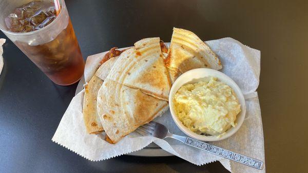
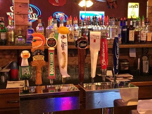
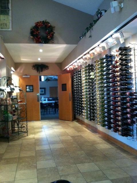
Dine and drink
Eat and drink your way through town.


Can't-miss activities
Culture, natural beauty, and plain old fun.
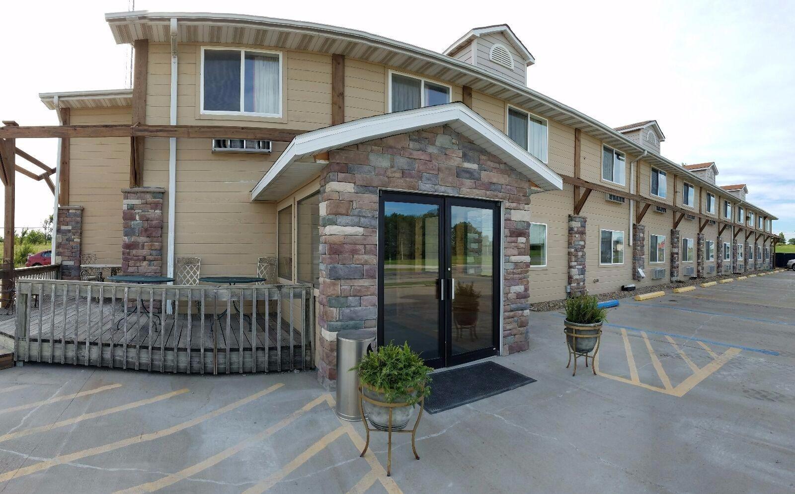
Places to stay
Hang your (vacation) hat in a place that’s just your style.