Randolph, KS
Randolph Map
Randolph is a city in Riley County, Kansas, United States. The population was 175 at the 2000 census. It is part of the Manhattan, Kansas Metropolitan Statistical Area.
Randolph was originally located a mile east of its present location.
When the Tuttle Creek Lake began filling up in 1962, it affected ten towns and entirely submerged four of them (from north to south): Cleburne at 39°31?49?N 96°38?6?W / 39.53028°N 96.635°W / 39.53028; -96.635, Randolph, Garrison Cross and Stockdale. The only town to rebuild elsewhere was Randolph, where the streets are named after the submerged towns.
Nearby cities include Green, Waterville, Blue Rapids, Westmoreland, Milford.
Places in Randolph
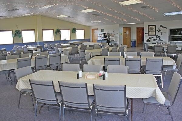
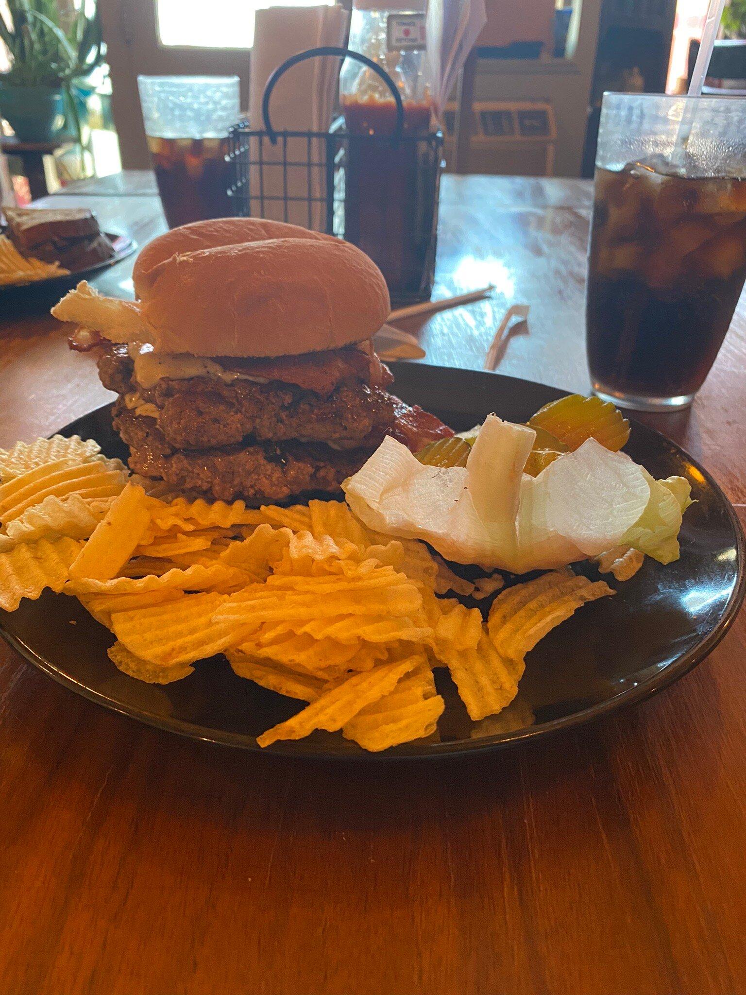
Dine and drink
Eat and drink your way through town.


Can't-miss activities
Culture, natural beauty, and plain old fun.


Places to stay
Hang your (vacation) hat in a place that’s just your style.