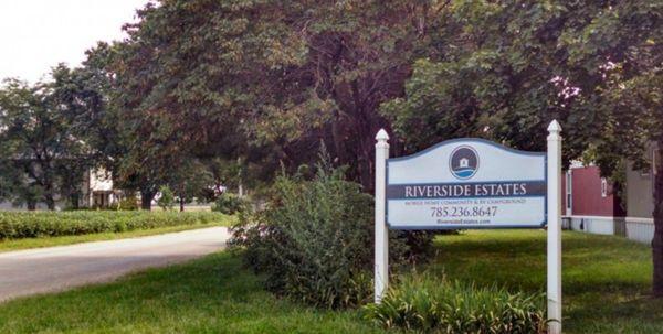
Paxico, KS
Paxico, KS Map
Paxico is a US city in Wabaunsee County in the state of Kansas. Located at the longitude and latitude of -96.167800, 39.068100 and situated at an elevation of 302 meters. In the 2020 United States Census, Paxico, KS had a population of 210 people. Paxico is in the Central Standard Time timezone at Coordinated Universal Time (UTC) -6. Find directions to Paxico, KS, browse local businesses, landmarks, get current traffic estimates, road conditions, and more.
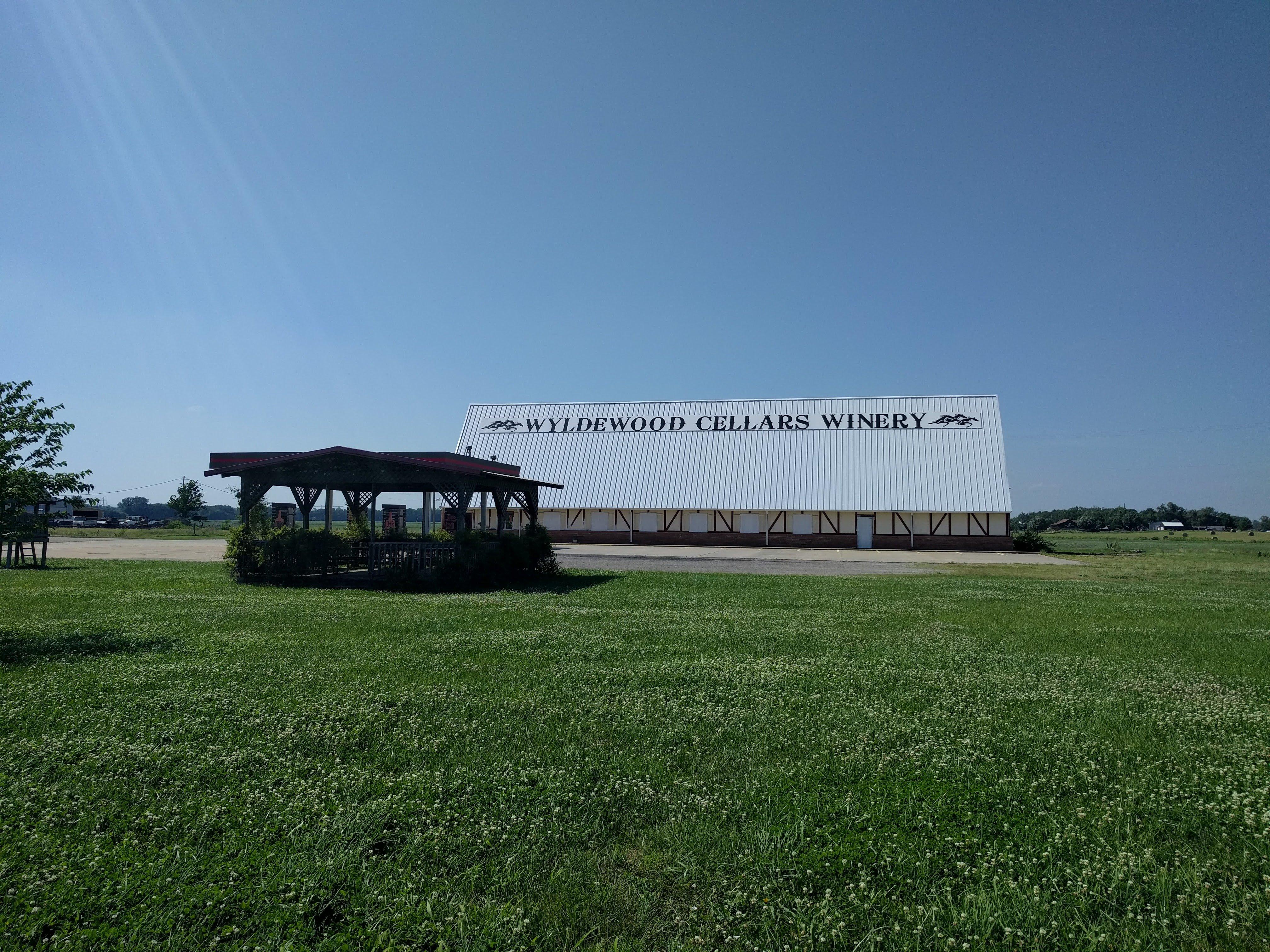
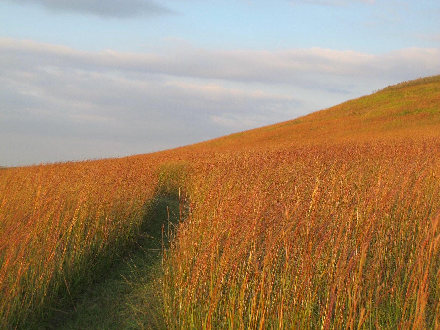
Paxico, Kansas, is a small town renowned for its charming antique stores and a delightful slice of Americana. This quaint locale offers a nostalgic journey back in time, featuring a main street lined with shops brimming with vintage finds and collectibles. Visitors often flock to Paxico for its annual Blues Festival, a lively event that showcases local talent and brings a vibrant atmosphere to the town. The festival, coupled with the town's classic small-town charm, makes Paxico a unique stop for those exploring the Midwest.
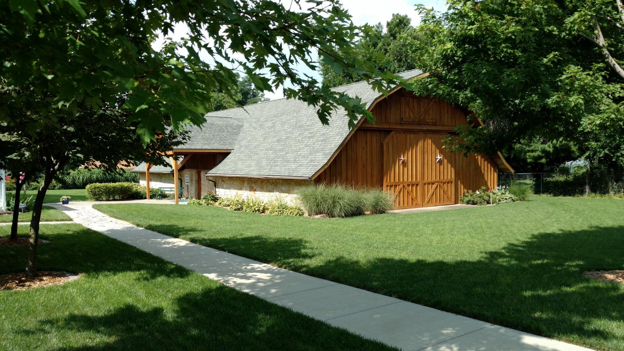
Historically, Paxico has its roots in the late 19th century, when it was established as a railroad town. This heritage is still visible in some of its architecture and the layout of the town. A notable attraction is the Mill Creek Antique Mall, a popular destination for both serious collectors and casual browsers. The town’s history and dedication to preserving its past can be felt in every corner, making it a delightful destination for history buffs and those seeking a leisurely day trip.
Nearby cities include: McFarland, KS, Alma, KS, Maple Hill, KS, Maple Hill, KS, Alma, KS, Belvue, KS, Wamego, KS, Wamego, KS, Willard, KS, Mill Creek, KS.
Places in Paxico
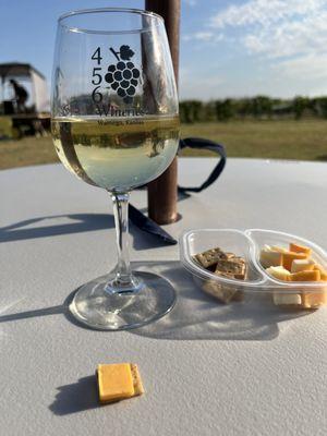
Dine and drink
Eat and drink your way through town.


Can't-miss activities
Culture, natural beauty, and plain old fun.
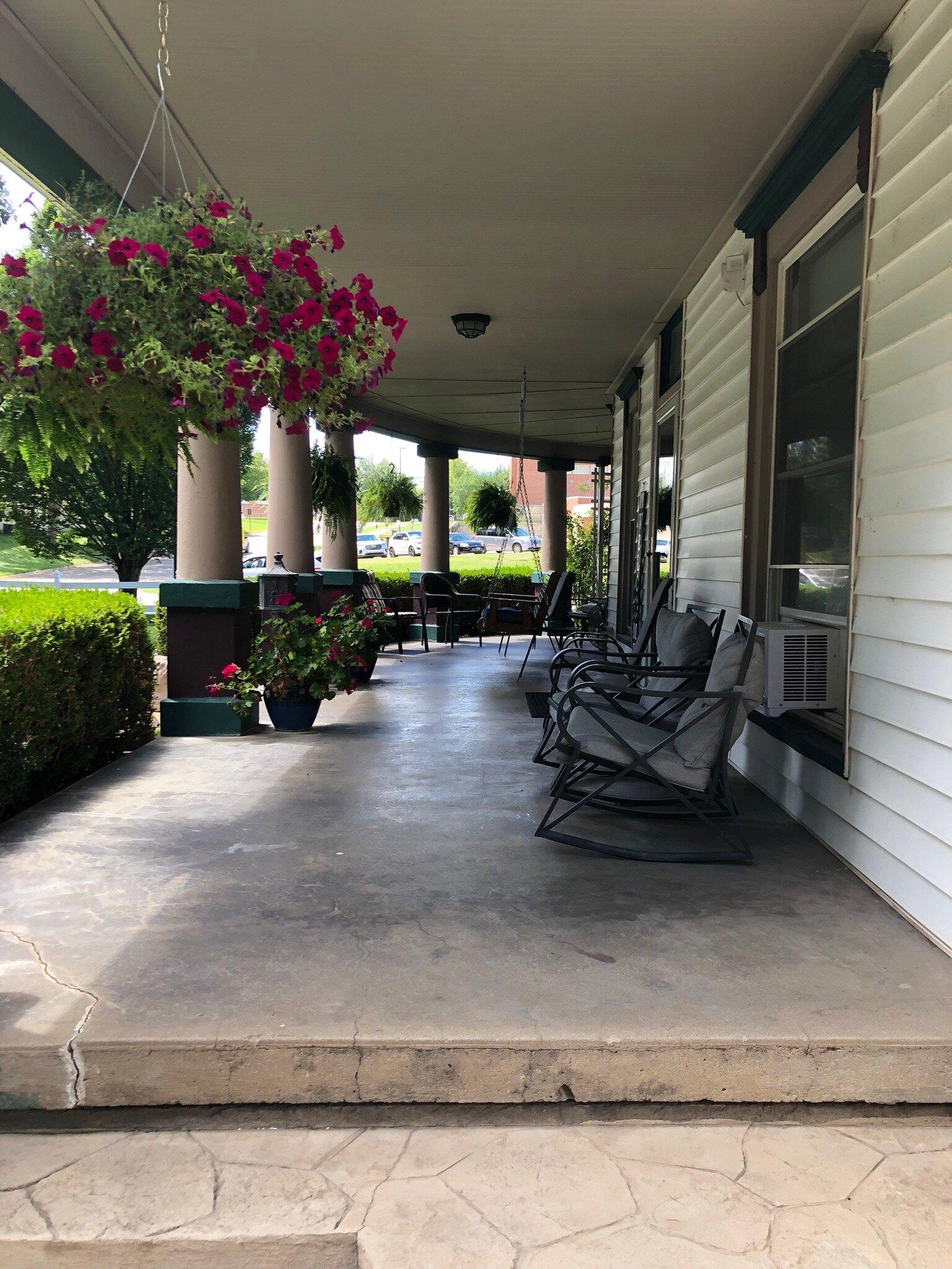
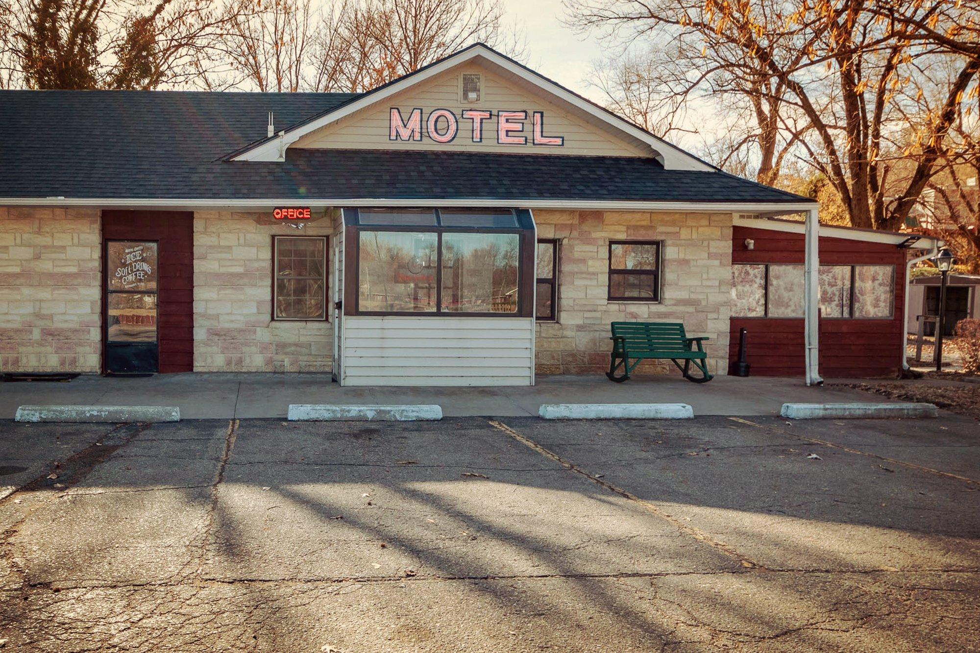
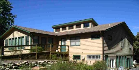
Places to stay
Hang your (vacation) hat in a place that’s just your style.