Macksville, KS
Macksville, KS Map
Macksville is a US city in Stafford County in the state of Kansas. Located at the longitude and latitude of -98.968611, 37.958333 and situated at an elevation of 617 meters. In the 2020 United States Census, Macksville, KS had a population of 471 people. Macksville is in the Central Standard Time timezone at Coordinated Universal Time (UTC) -6. Find directions to Macksville, KS, browse local businesses, landmarks, get current traffic estimates, road conditions, and more.
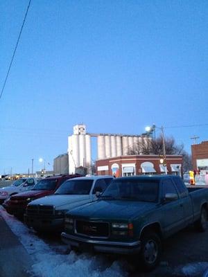
Macksville, Kansas, is a small city that embodies the quintessential charm of rural America. Known for its tight-knit community and agricultural heritage, Macksville offers a glimpse into the heartland's way of life. The city's landscape is dotted with sprawling fields and farms, providing a serene backdrop for those seeking a peaceful retreat. A key highlight of Macksville is its local events, often centered around community gatherings and agricultural fairs, which celebrate the city's farming roots and bring residents together in a spirit of camaraderie.
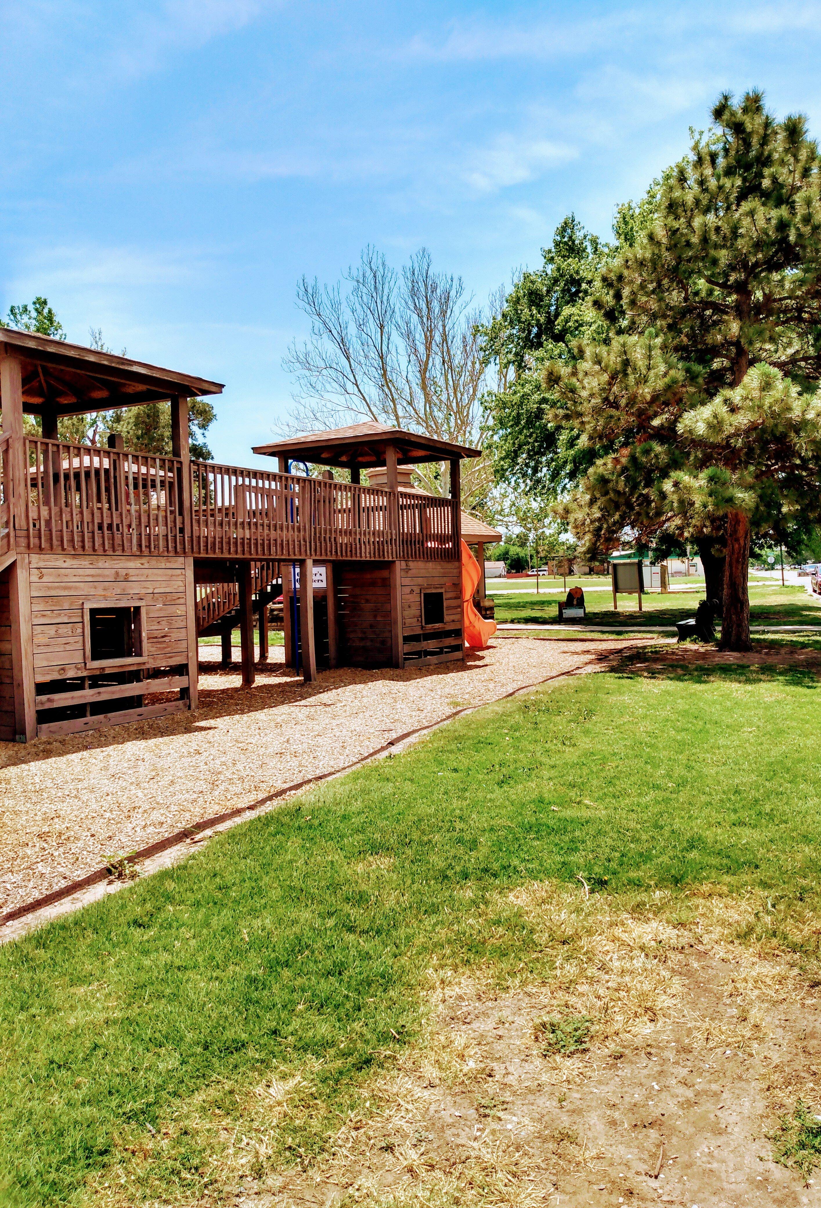
Visitors to Macksville can explore the Macksville City Park, a popular spot for picnics and leisurely strolls. The park serves as a community hub, hosting various events and offering a playground for children. History enthusiasts may find interest in the city's historical landmarks and buildings, which reflect the architectural styles of the early 20th century, offering a window into the city's past. Macksville's commitment to preserving its history and fostering community spirit makes it a unique destination for those interested in experiencing the authentic rural lifestyle of Kansas.
Nearby cities include: Farmington, KS, Belpre, KS, Belpre, KS, Albano, KS, Pleasant Grove, KS, Township 8, KS, Byers, KS, Orange, KS, Douglas, KS, Rose Valley, KS.
Places in Macksville
Dine and drink
Eat and drink your way through town.


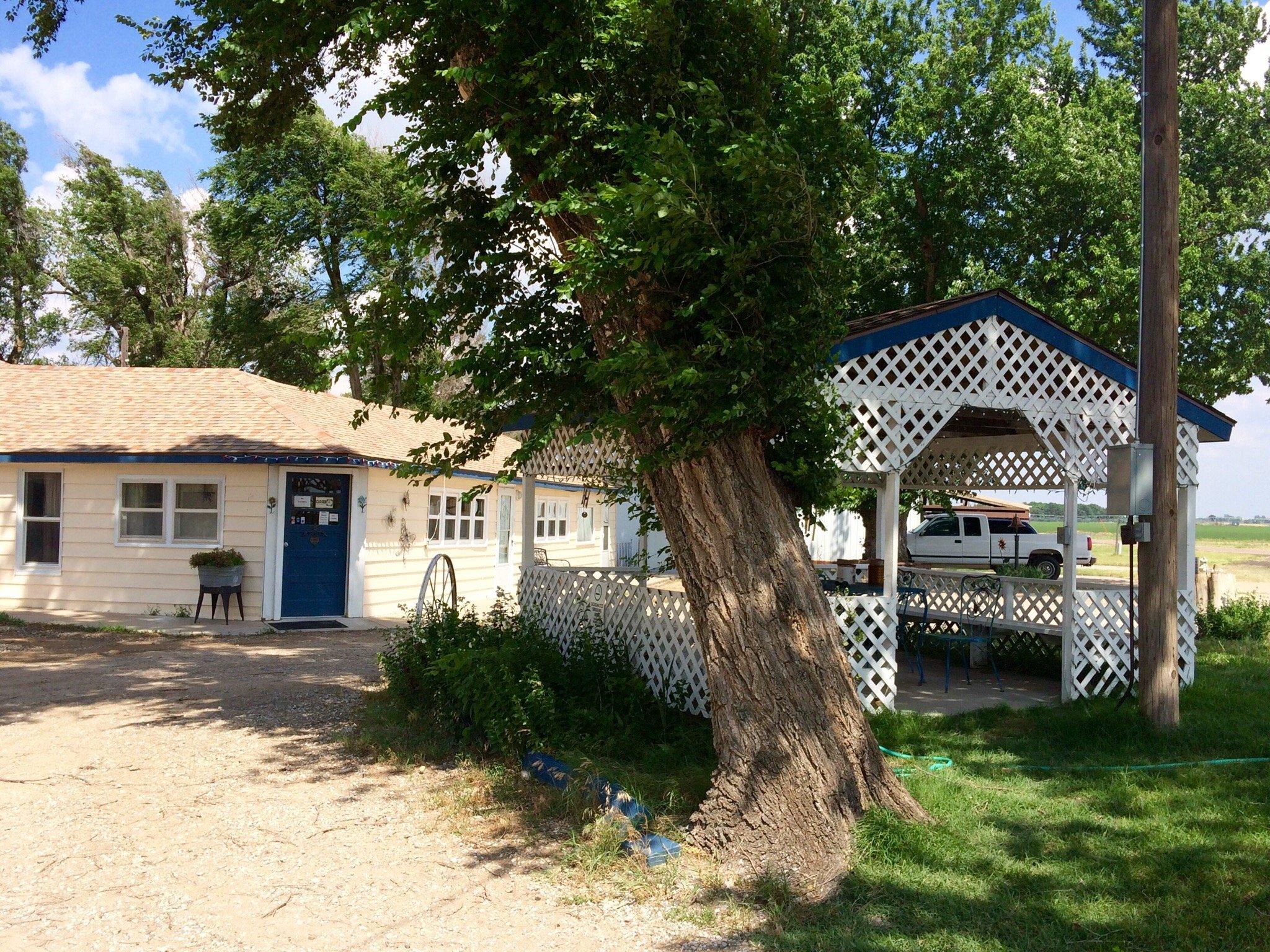
Places to stay
Hang your (vacation) hat in a place that’s just your style.