Herl, KS
Herl Township, KS Map
Herl Township is a US city in Rawlins County in the state of Kansas. Located at the longitude and latitude of -100.838000, 39.860300 and situated at an elevation of 868 meters. In the 2020 United States Census, Herl Township, KS had a population of 284 people. Herl Township is in the Central Standard Time timezone at Coordinated Universal Time (UTC) -6. Find directions to Herl Township, KS, browse local businesses, landmarks, get current traffic estimates, road conditions, and more.
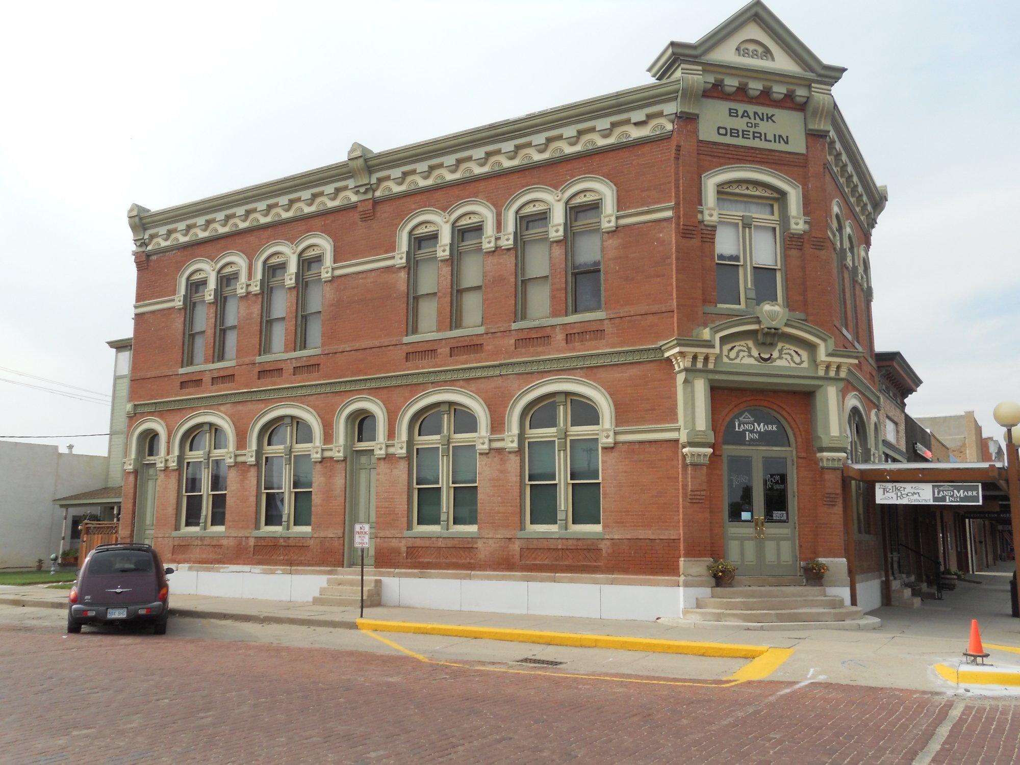
Herl Township, located in the heart of Kansas, is a quaint and serene destination that offers a glimpse into the pastoral charm of the American Midwest. Known primarily for its expansive agricultural landscapes, Herl Township is an ideal spot for those looking to experience the rural beauty and simplicity of Kansas life. Visitors can enjoy scenic drives through the township's lush fields and farmlands, which are particularly picturesque during the harvest season. The township is also home to a few historical landmarks that reflect its agricultural heritage, offering a unique insight into the area's past.
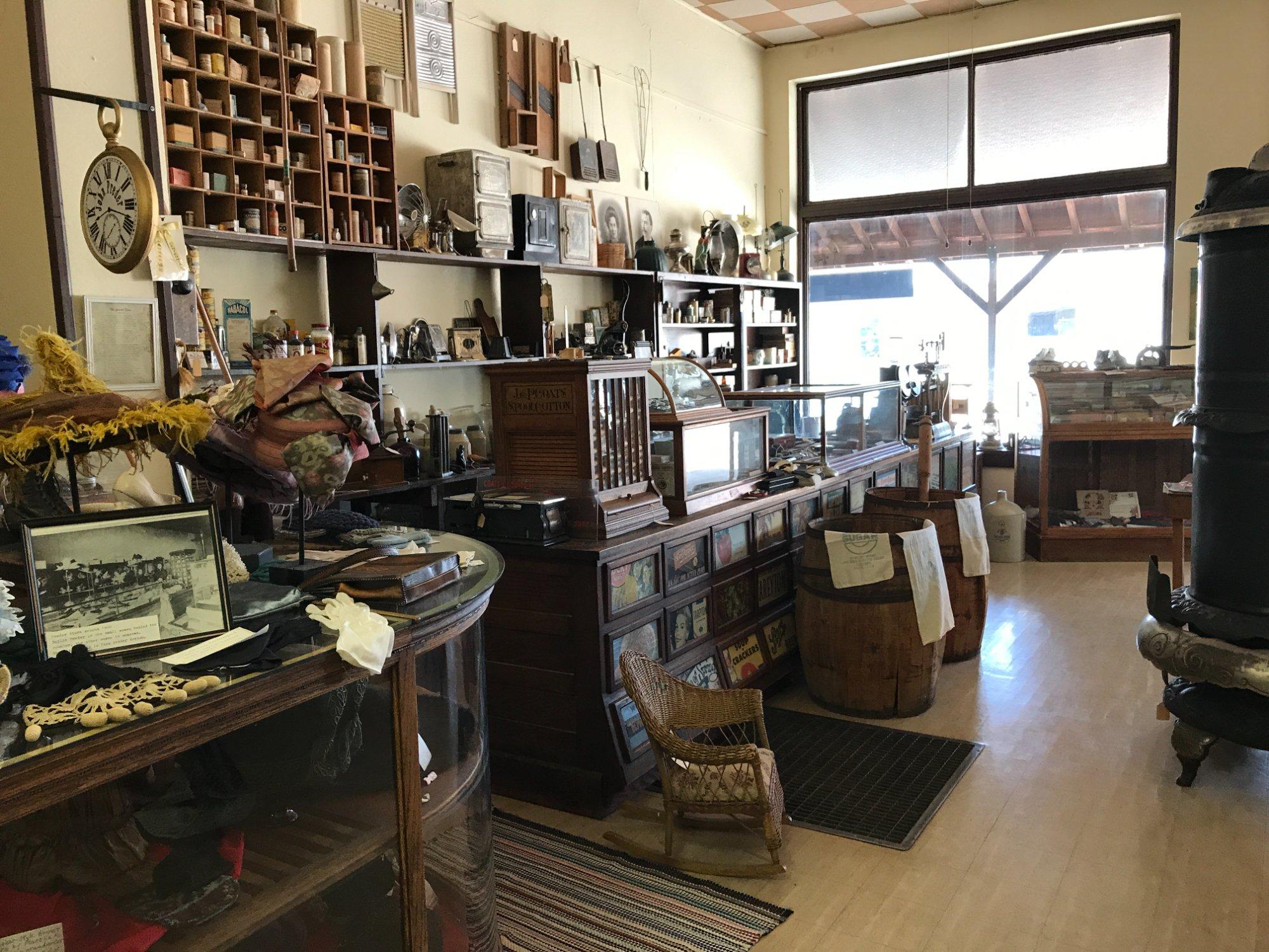
While Herl Township may not boast a bustling urban scene, it is known for its community-centered events and local gatherings that bring residents and visitors together. These events often highlight the township's rich traditions and close-knit community spirit. For those interested in exploring local culture, the township's small historical museum provides an informative overview of its development over the years. Additionally, outdoor enthusiasts will appreciate the open spaces and trails that make Herl Township an excellent destination for hiking, bird watching, and photography.
Nearby cities include: Herndon, KS, Ludell, KS, Ludell, KS, Sappa, KS, Finley, KS, Atwood, KS, Atwood, KS, Bassettville, KS, Oberlin, KS, Driftwood, KS.
Places in Herl


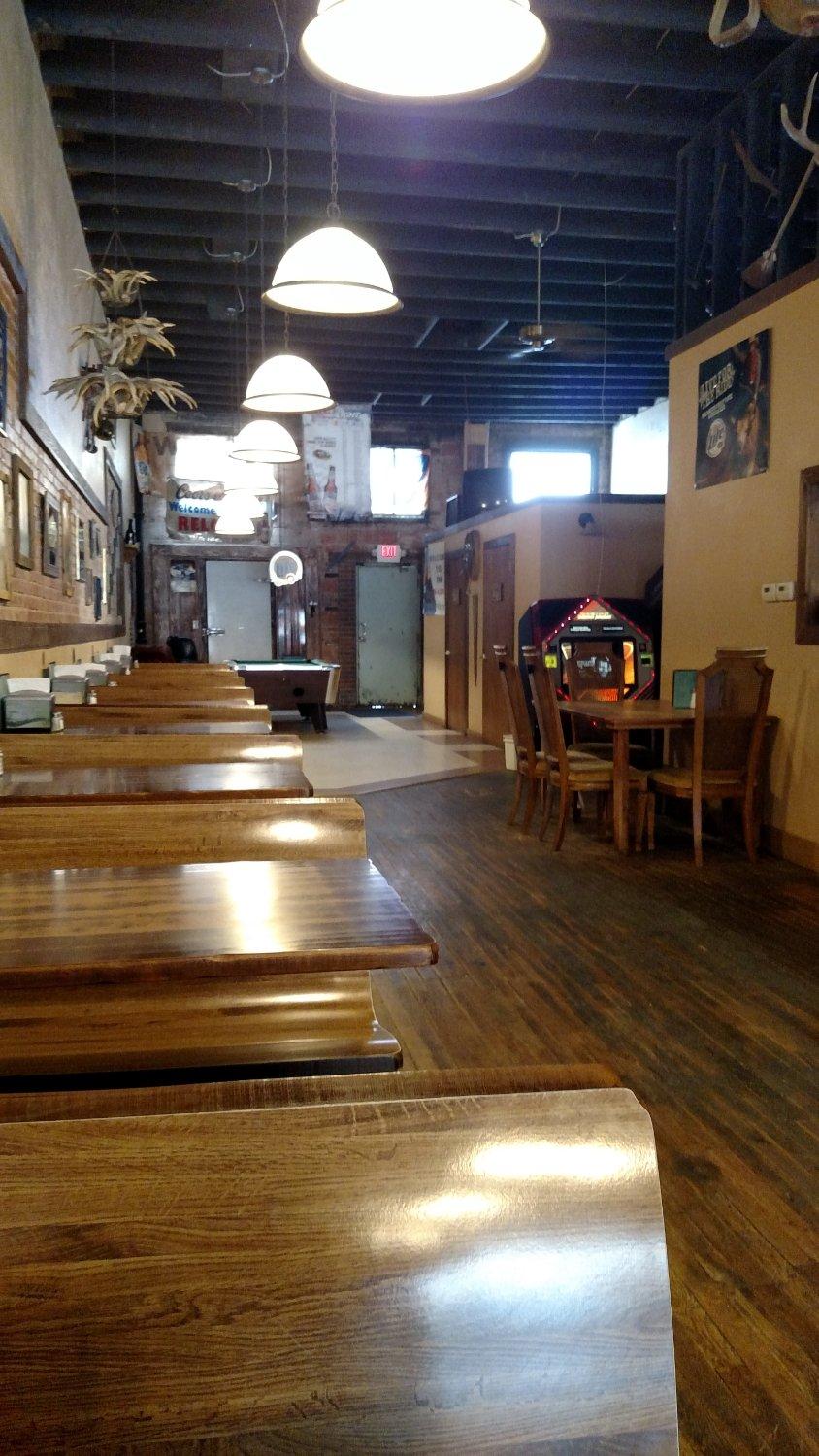
Can't-miss activities
Culture, natural beauty, and plain old fun.


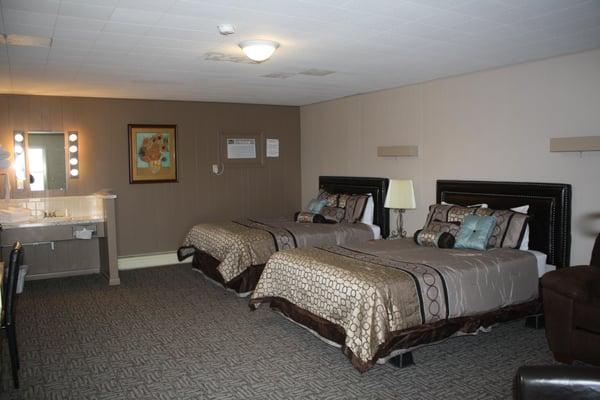
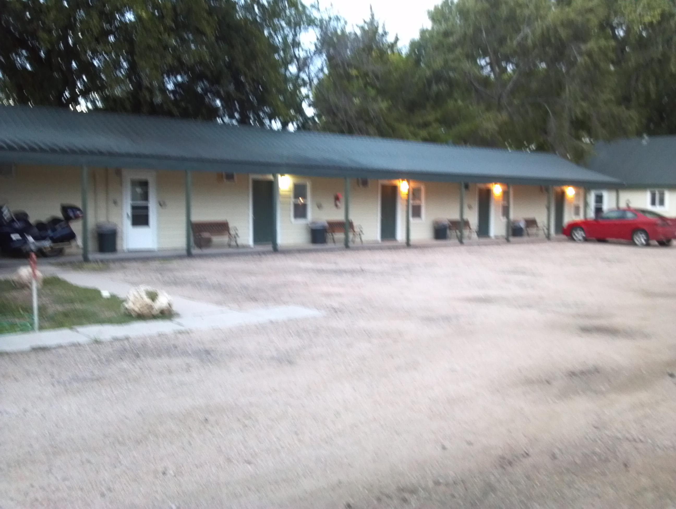
Places to stay
Hang your (vacation) hat in a place that’s just your style.