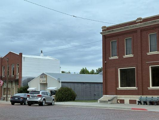
Courtland, KS
Courtland Map
Courtland is a city in Republic County, Kansas, United States. The population was 334 at the 2000 census.
In 1887, Atchison, Topeka and Santa Fe Railway built a branch line from Neva (3 miles west of Strong City) through Courtland to Superior, Nebraska. In 1996, the Atchison, Topeka and Santa Fe Railway merged with Burlington Northern Railroad and renamed to the current BNSF Railway. Most locals still refer to this railroad as the "Santa Fe".
Courtland is located at 39°46?58?N 97°53?49?W / 39.78278°N 97.89694°W / 39.78278; -97.89694 (39.782803, -97.897054). According to the United States Census Bureau, the city has a total area of 0.3 square miles (0.7 km²), all of it land.
Nearby cities include Republic, Randall, Webber, Jamestown, Belleville.
Places in Courtland
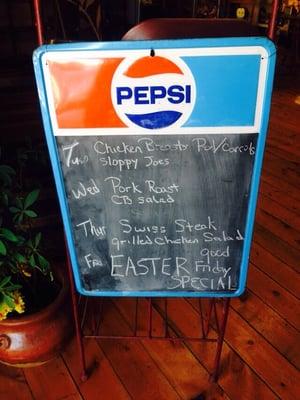
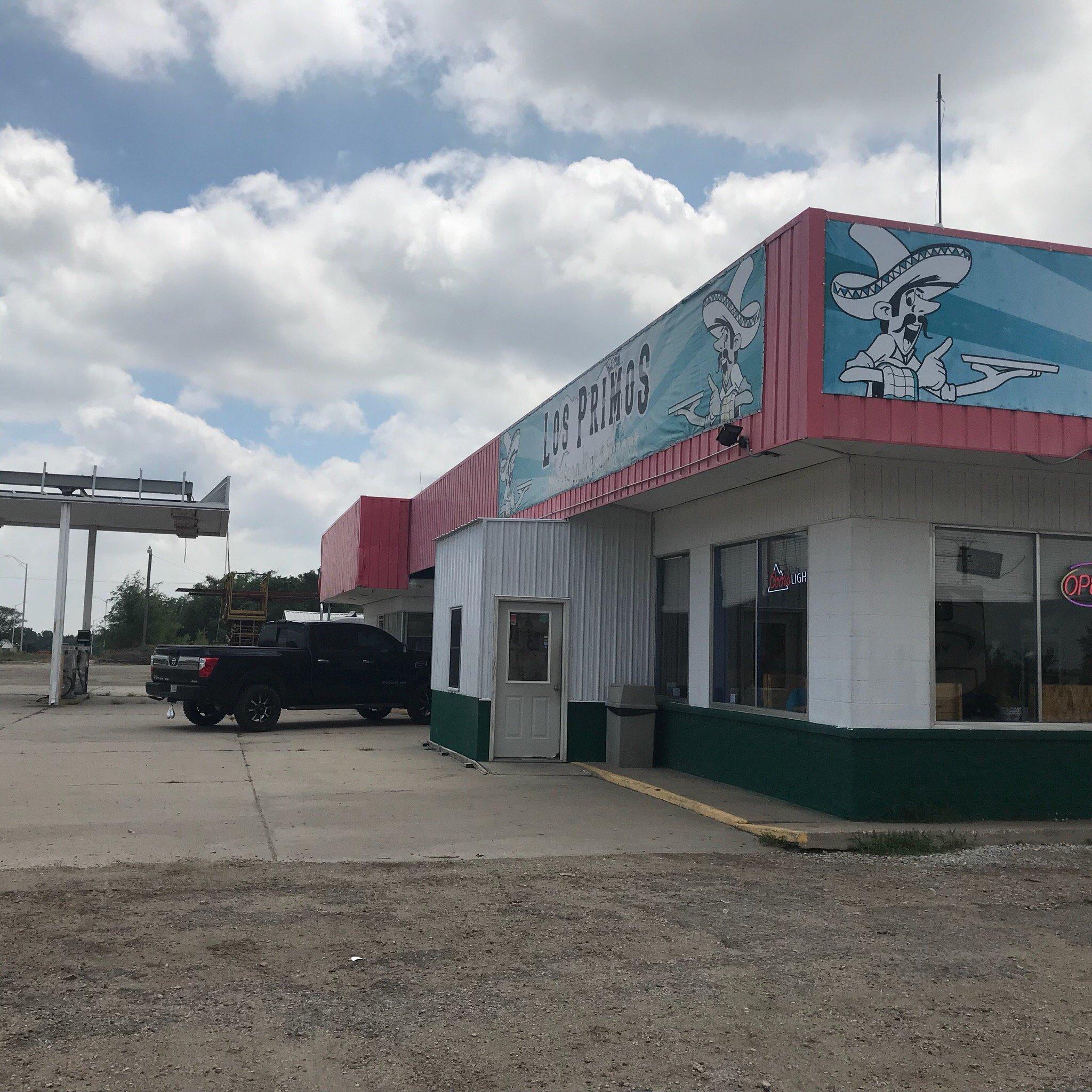
Dine and drink
Eat and drink your way through town.


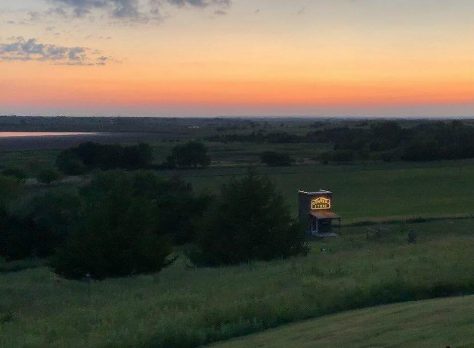
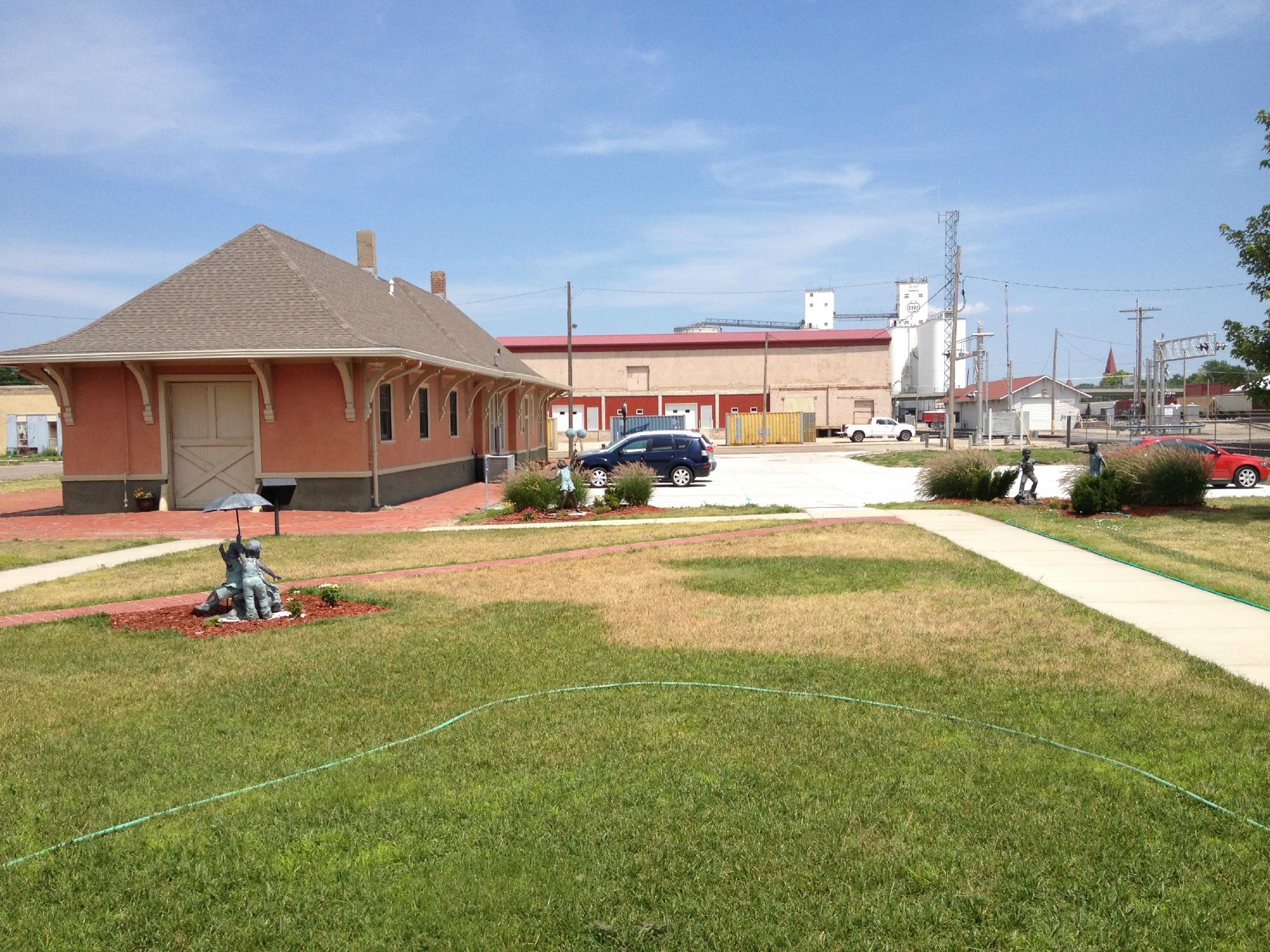
Can't-miss activities
Culture, natural beauty, and plain old fun.

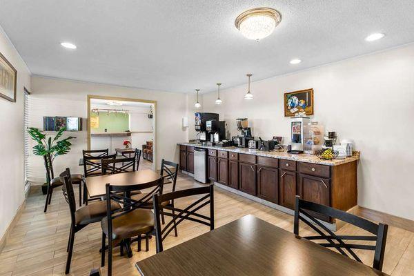
Places to stay
Hang your (vacation) hat in a place that’s just your style.