Whitten, IA
Whitten, IA Map
Whitten is a US city in Hardin County in the state of Iowa. Located at the longitude and latitude of -93.007500, 42.261389 and situated at an elevation of 315 meters. In the 2020 United States Census, Whitten, IA had a population of 100 people. Whitten is in the Central Standard Time timezone at Coordinated Universal Time (UTC) -6. Find directions to Whitten, IA, browse local businesses, landmarks, get current traffic estimates, road conditions, and more.
Whitten, located in the state of Iowa, is a quaint city that embodies small-town charm with a rich historical backdrop. Known for its tight-knit community and serene landscapes, Whitten offers a peaceful retreat from the hustle and bustle of urban life. The city has a history rooted in agriculture, which remains a significant aspect of its identity today. Visitors can explore the local history through well-preserved buildings and community events that showcase the city's heritage.
Among the popular spots in Whitten is the local park, which serves as a hub for community gatherings and recreational activities. The park provides a tranquil setting for picnics, leisurely strolls, and family outings. Additionally, Whitten hosts seasonal events that celebrate its agricultural roots, offering visitors a taste of local culture and traditions. While Whitten may not boast the attractions of a large metropolis, its charm lies in the simplicity and warmth of its community, making it an ideal destination for those seeking a genuine small-town experience.
Nearby cities include: Union, IA, Liscomb, IA, Conrad, IA, Eldora, IA, New Providence, IA, Beaman, IA, Albion, IA, Steamboat Rock, IA, Wellsburg, IA, Clemons, IA.
Places in Whitten
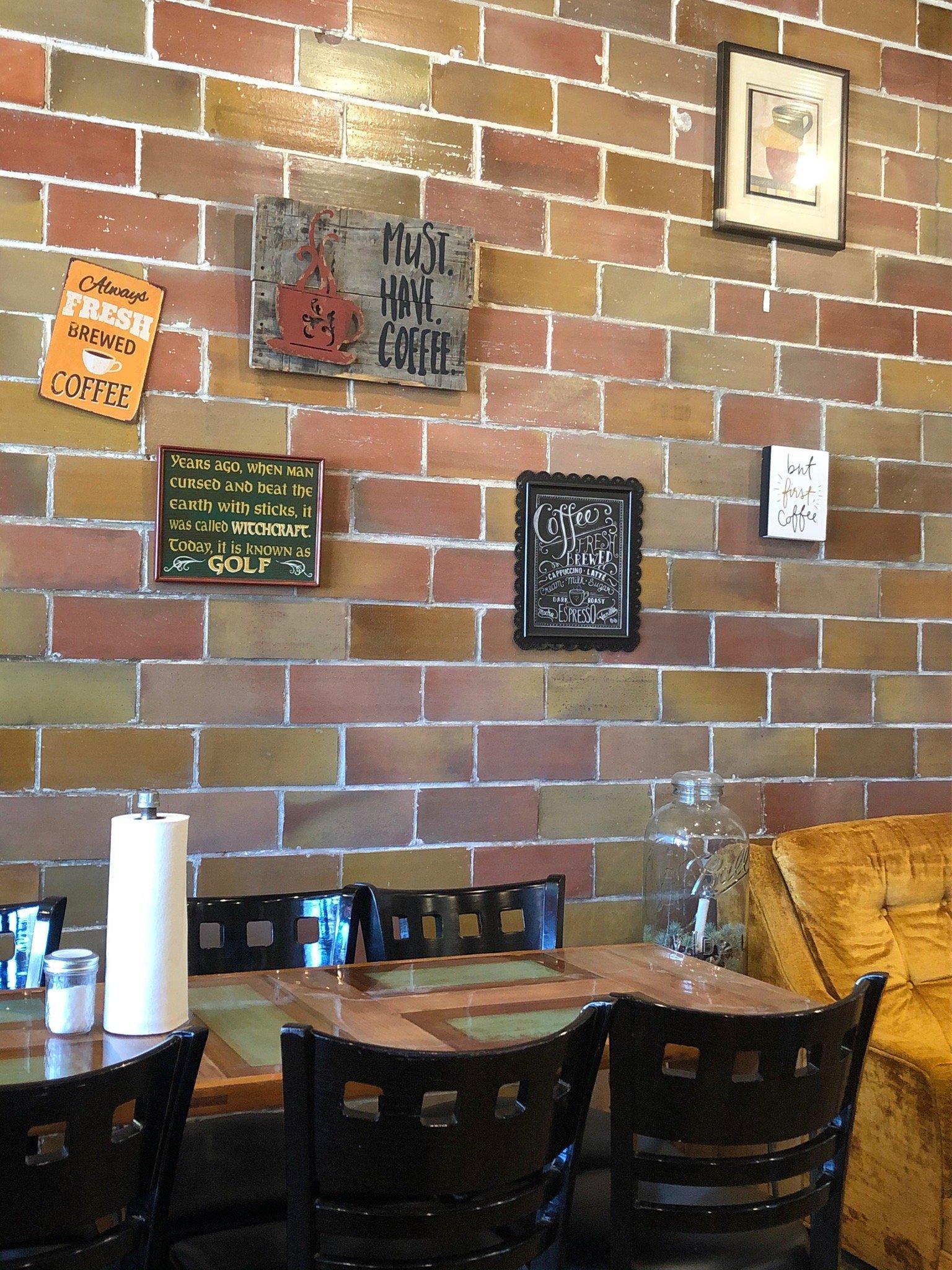
Dine and drink
Eat and drink your way through town.


Can't-miss activities
Culture, natural beauty, and plain old fun.

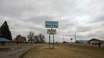
Places to stay
Hang your (vacation) hat in a place that’s just your style.