


Ventura, IA
Ventura, IA 50482
Ventura Map
Ventura is a city in Cerro Gordo County, Iowa, United States. The population was 670 at the 2000 census. It is part of the Mason City Micropolitan Statistical Area.
Ventura is located at 43°7?36?N 93°28?24?W / 43.12667°N 93.47333°W / 43.12667; -93.47333 (43.126710, -93.473276).
According to the United States Census Bureau, the city has a total area of 2.4 square miles (6.1 km²), of which, 1.7 square miles (4.5 km²) of it is land and 0.6 square miles (1.7 km²) of it (27.00%) is water.
Nearby cities include Klemme, Forest City, Swaledale, Thornton, Mason City.
Places in Ventura
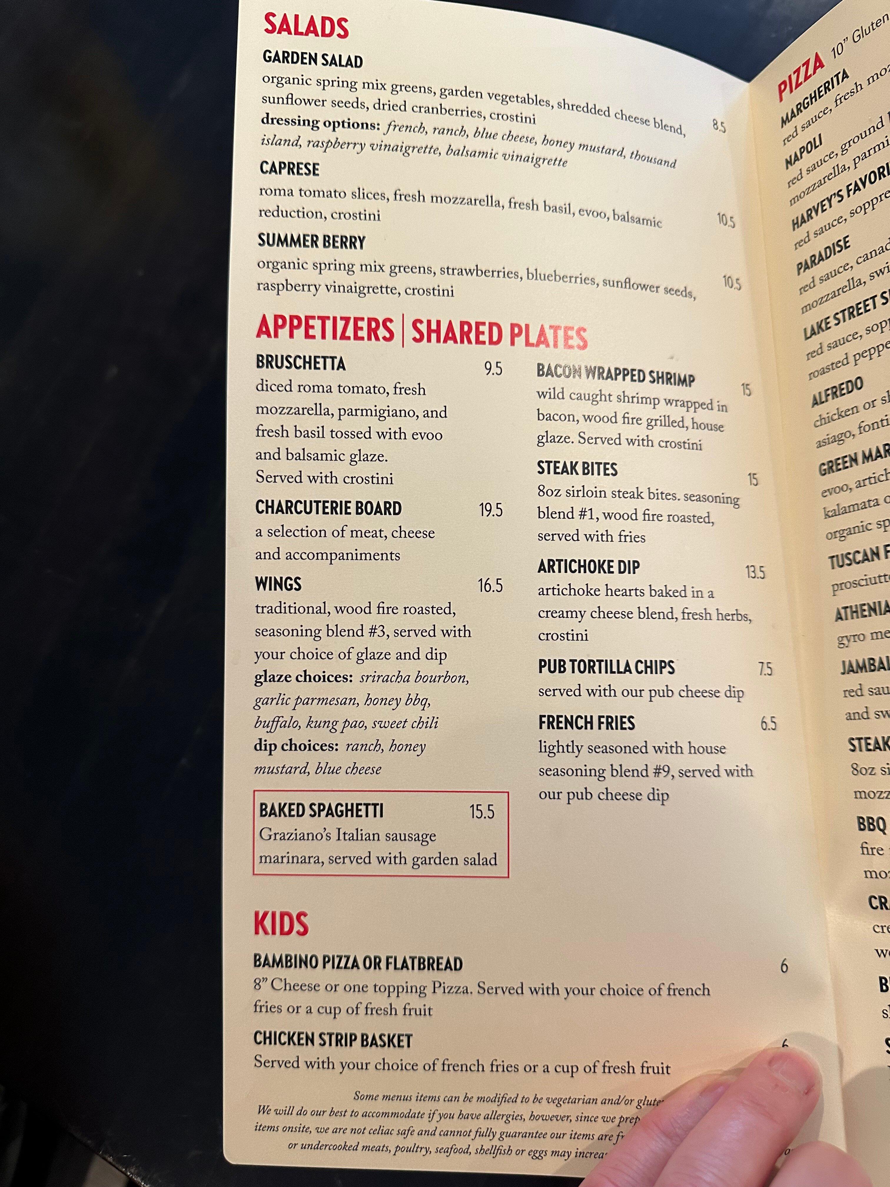
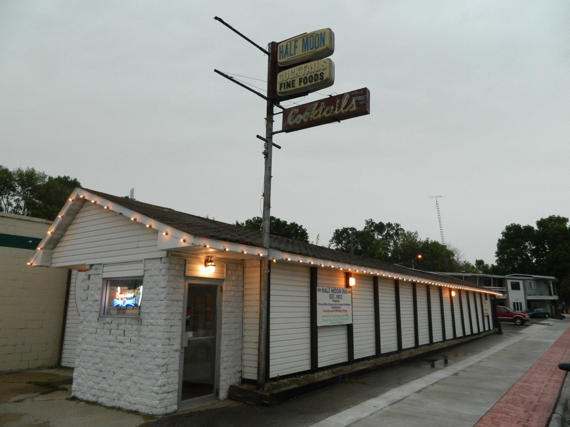
Dine and drink
Eat and drink your way through town.
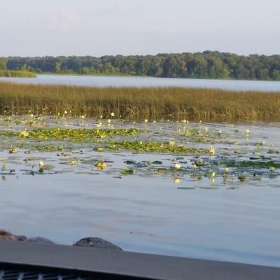

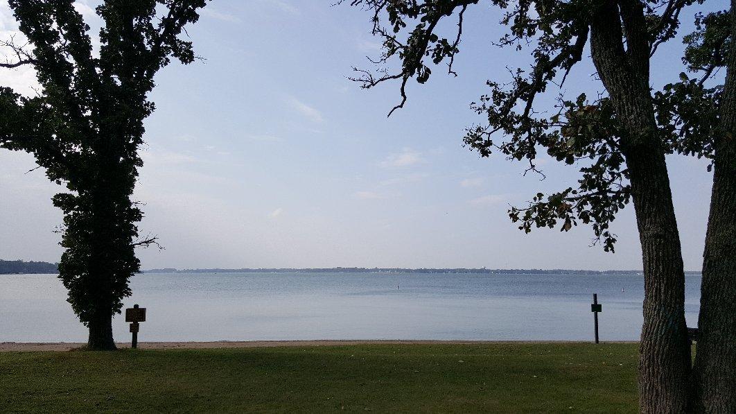
Can't-miss activities
Culture, natural beauty, and plain old fun.


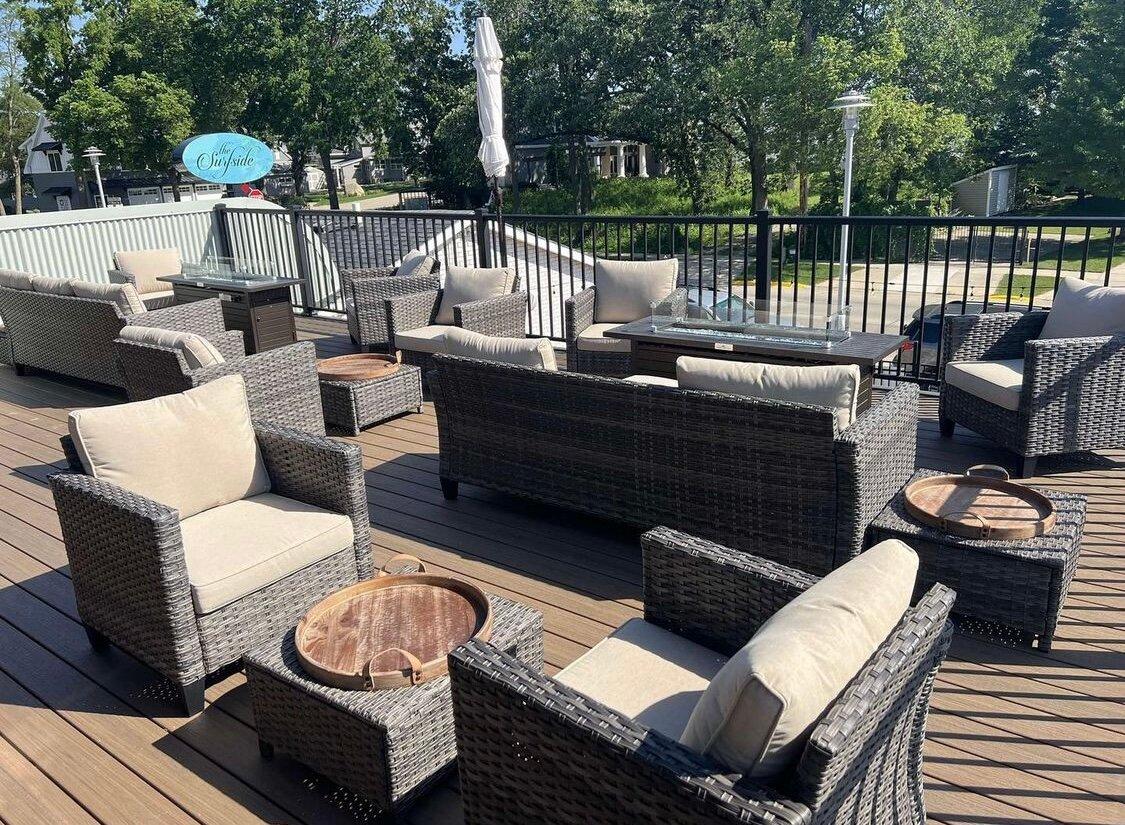
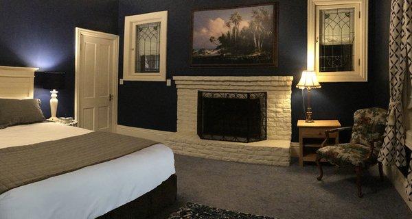
Places to stay
Hang your (vacation) hat in a place that’s just your style.


See a problem?