Traer, IA
Traer, IA Map
Traer is a US city in Tama County in the state of Iowa. Located at the longitude and latitude of -92.464444, 42.191389 and situated at an elevation of 279 meters. In the 2020 United States Census, Traer, IA had a population of 1,583 people. Traer is in the Central Standard Time timezone at Coordinated Universal Time (UTC) -6. Find directions to Traer, IA, browse local businesses, landmarks, get current traffic estimates, road conditions, and more.
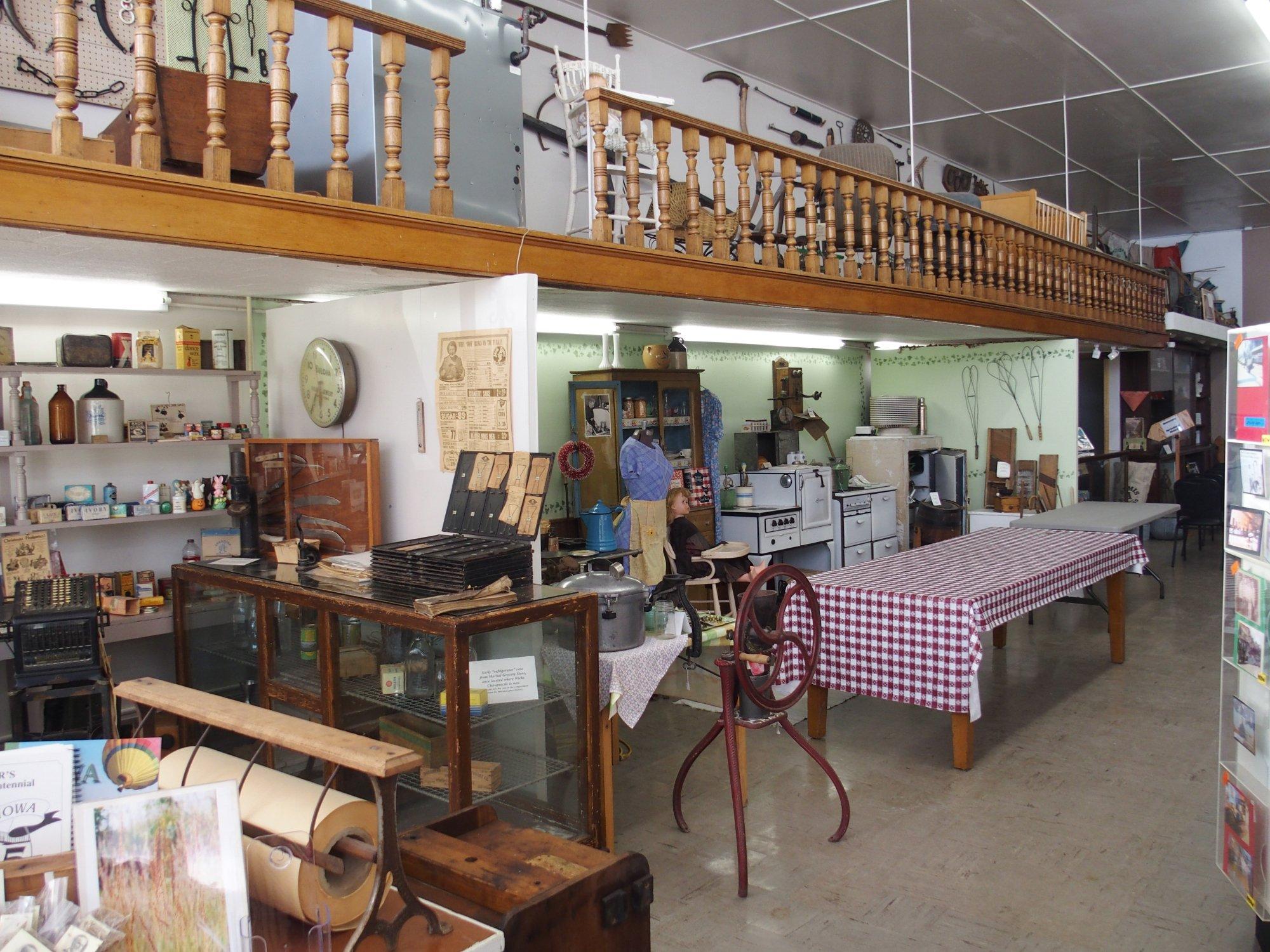
Traer, located in Iowa, is a charming small town best known for its unique and historical iron spiral staircase, a structure that has intrigued visitors for years. This architectural oddity stands alone, separate from the building it once served, and is a testament to the town's quirky past. Traer embraces its history with a variety of local museums and historical sites, offering a glimpse into the development of the region and its cultural roots.
In addition to its historical attractions, Traer is home to a variety of local shops and eateries that reflect the community's friendly and welcoming nature. The town often hosts events and festivals that bring together residents and visitors alike, providing a taste of local life and traditions. Whether you're exploring its historical landmarks or enjoying the local cuisine, Traer offers a quaint and enriching experience for those who visit.
Nearby cities include: Buckingham, IA, Clark, IA, Crystal, IA, Carroll, IA, Dysart, IA, Clutier, IA, Howard, IA, Reinbeck, IA, Monroe, IA, Eagle, IA.
Places in Traer
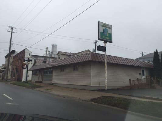
Dine and drink
Eat and drink your way through town.


Can't-miss activities
Culture, natural beauty, and plain old fun.


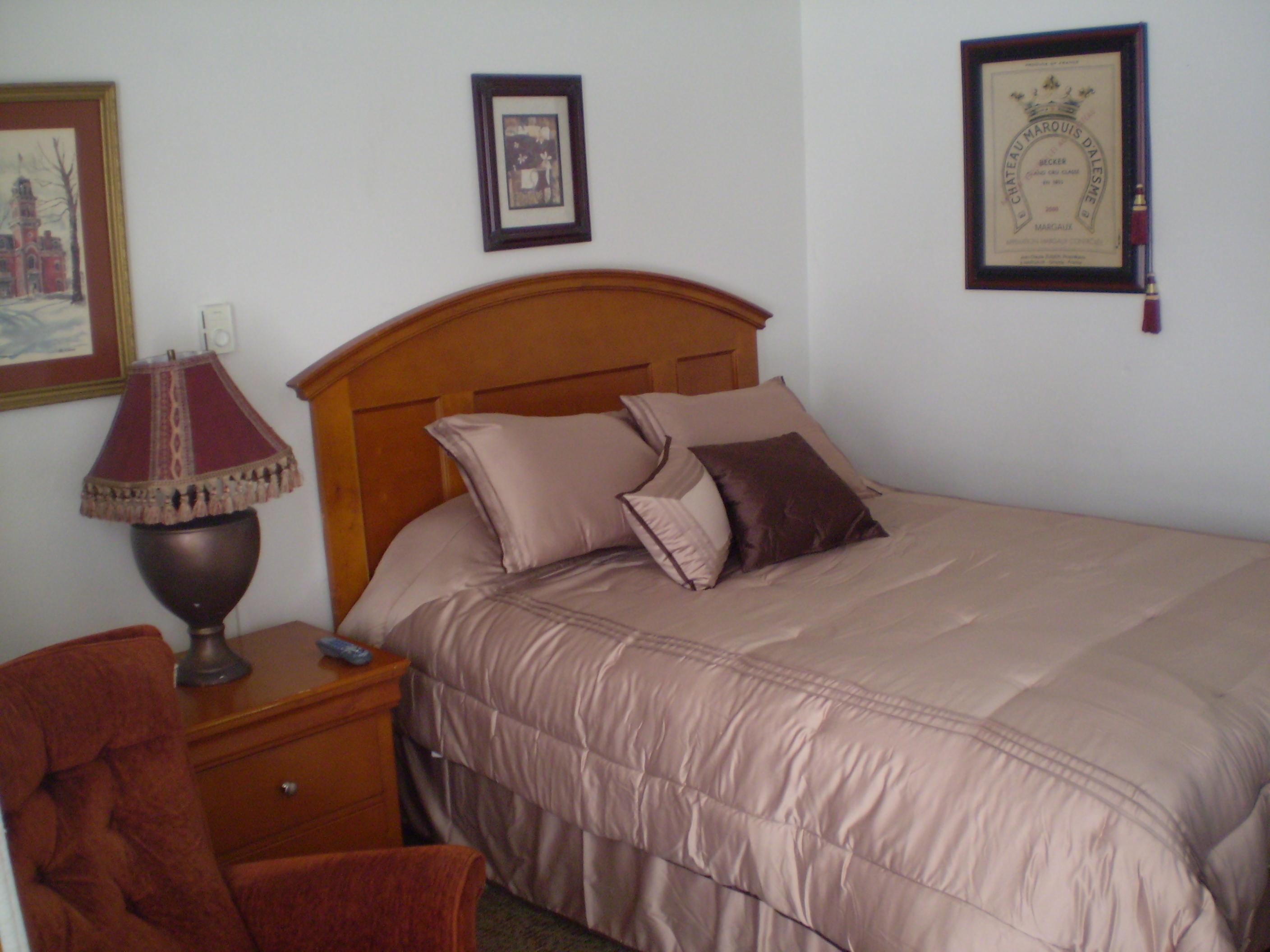
Places to stay
Hang your (vacation) hat in a place that’s just your style.