


Rockford, IA
Rockford, IA 50468
Rockford Map
Rockford is a city in Floyd County, Iowa, United States, at the confluence of the Shell Rock and Winnebago Rivers. The population was 907 at the 2000 census.
Rockford's longitude and latitude coordinates
in decimal form are 43.052833, -92.949203.
According to the United States Census Bureau, the city has a total area of 0.6 square miles (1.6 km²), all of it land.
Nearby cities include Dougherty, Floyd, Greene, Rockwell, Charles City.
Places in Rockford
Dine and drink
Eat and drink your way through town.


Can't-miss activities
Culture, natural beauty, and plain old fun.


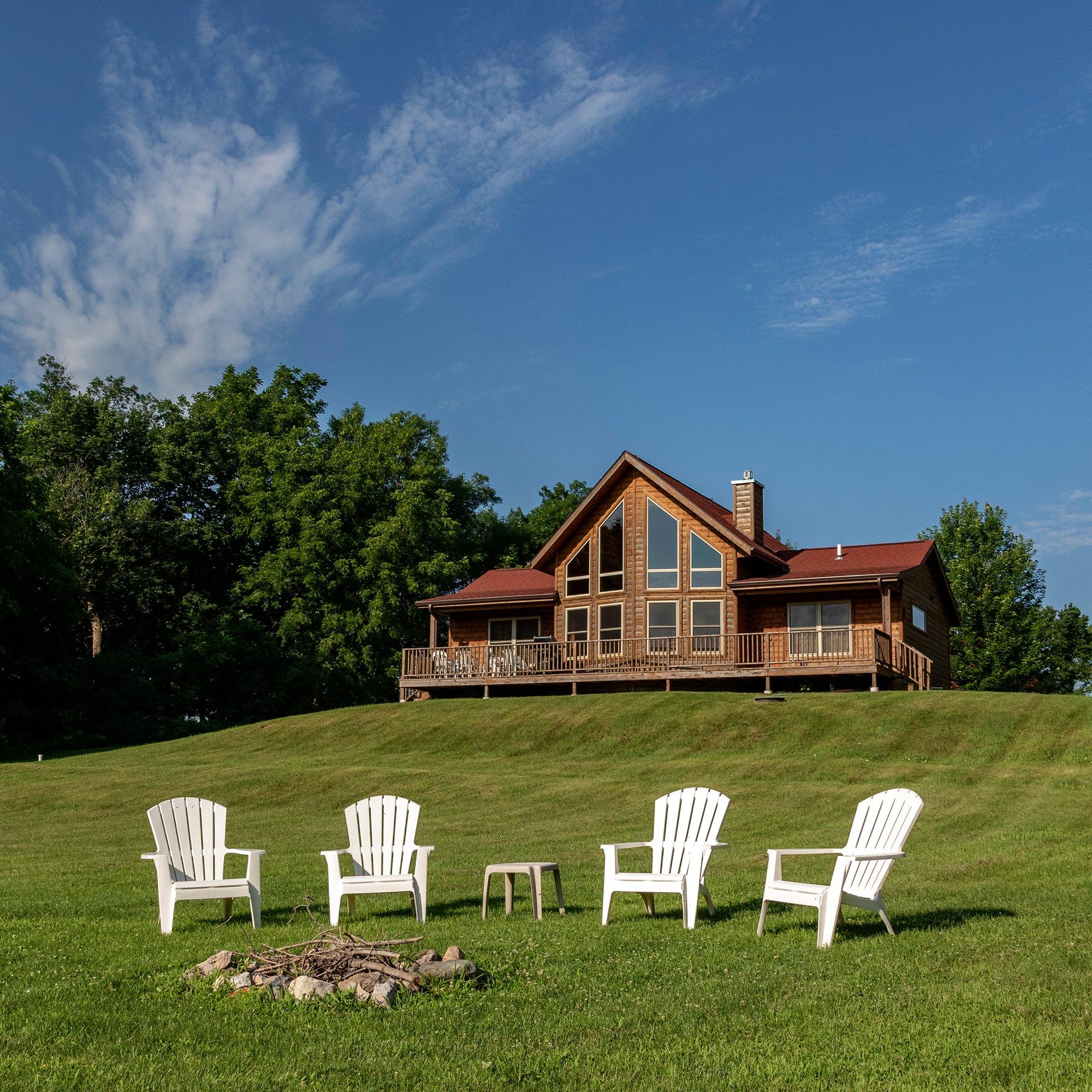
Places to stay
Hang your (vacation) hat in a place that’s just your style.

See a problem?