


Lohrville, IA
Lohrville, IA 51453
Lohrville Map
Lohrville is a city in Calhoun County, Iowa, United States. The population was 431 at the 2000 census.
Lohrville is located at 42°16?7?N 94°32?52?W / 42.26861°N 94.54778°W / 42.26861; -94.54778 (42.268573, -94.547824).
According to the United States Census Bureau, the city has a total area of 3.9 square miles (10.2 km²), all of it land.
Nearby cities include Gowrie, Knierim, Callender, Lidderdale, Auburn.
Places in Lohrville
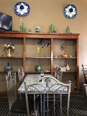
Dine and drink
Eat and drink your way through town.


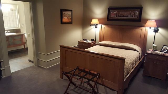
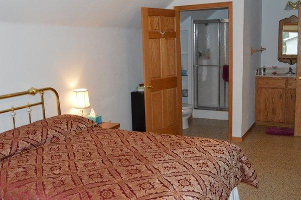
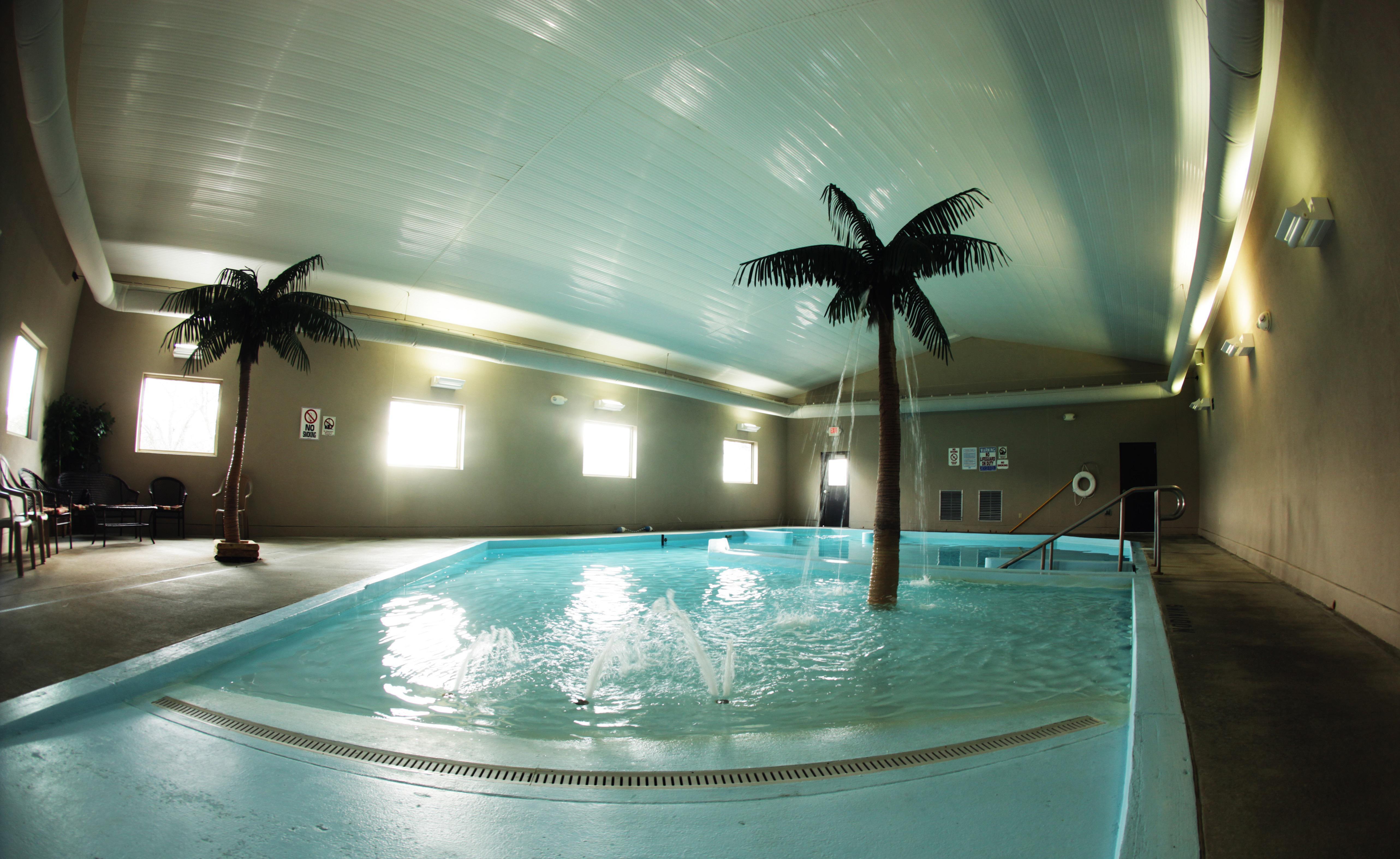
Places to stay
Hang your (vacation) hat in a place that’s just your style.
See a problem?