


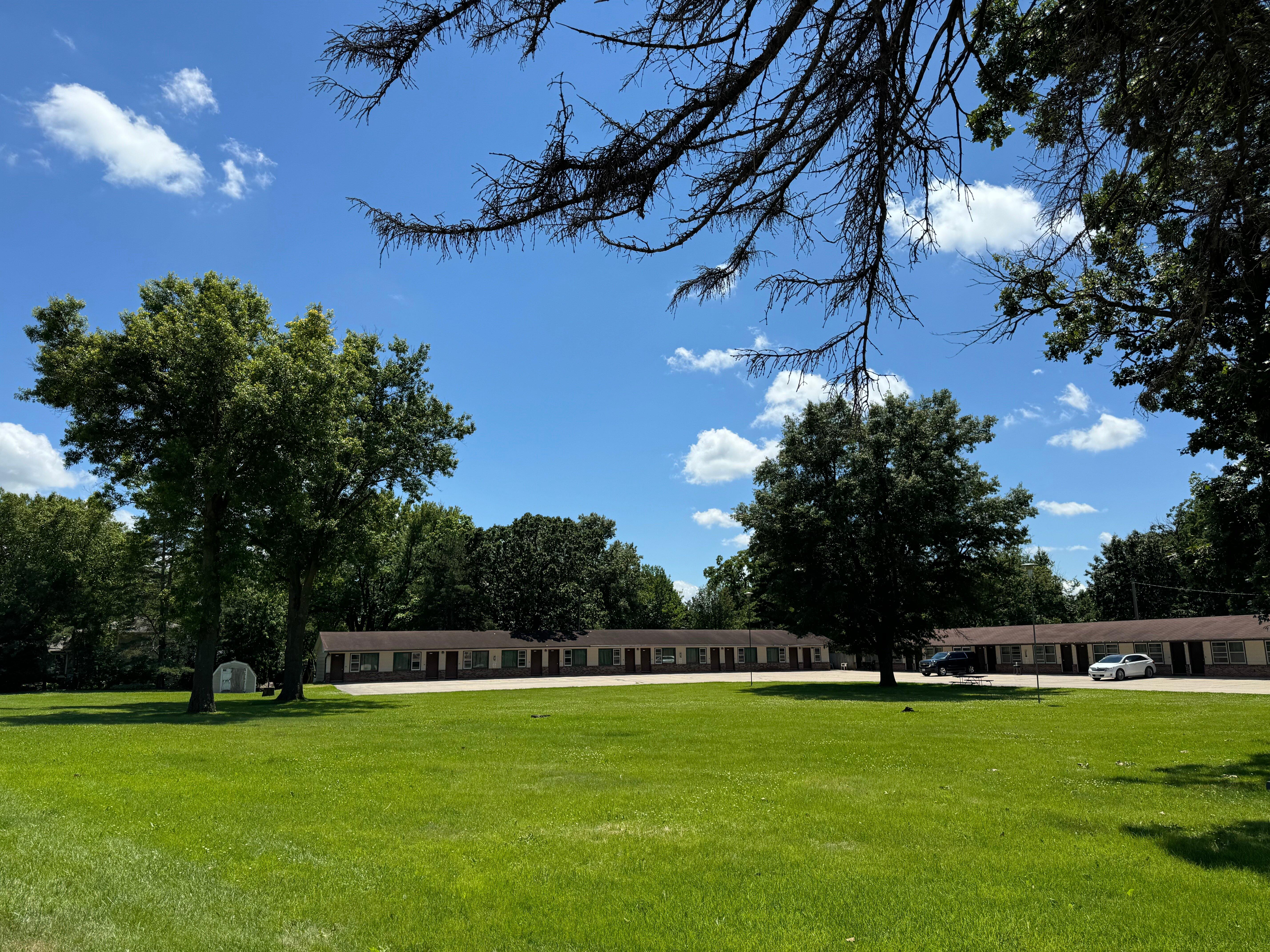
Hazleton, IA
Hazleton, IA 50641
Hazleton Map
Hazleton is a city in Buchanan County, Iowa, United States. The population was 950 at the 2000 census.
Hazleton is located at 42°37?6?N 91°54?24?W / 42.61833°N 91.90667°W / 42.61833; -91.90667 (42.618317, -91.906646).
According to the United States Census Bureau, the city has a total area of 0.8 square miles (2.0 km²), of which, 0.7 square miles (1.9 km²) of it is land and 0.04 square miles (0.1 km²) of it (5.13%) is water.
Nearby cities include Independence, Maynard, Jesup, Winthrop, Lamont.
Places in Hazleton
Dine and drink
Eat and drink your way through town.


Can't-miss activities
Culture, natural beauty, and plain old fun.


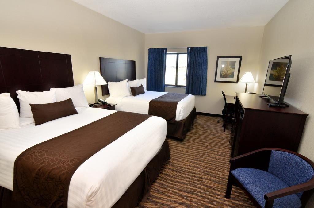
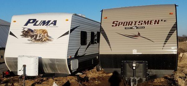
Places to stay
Hang your (vacation) hat in a place that’s just your style.

See a problem?