


Eddyville, IA
Eddyville, IA 52553
Eddyville Map
Eddyville is a city in Mahaska, Monroe, and Wapello Counties in the U.S. state of Iowa. The population was 1,064 at the 2000 census.
The first commercial coal mines in Wapello County were opened near Eddyville. Several 'coal banks' were in operation in 1857, including the Roberts Mine, directly across the Des Moines River from town. These mines worked coal seams exposed on the hillsides of the river valley.
Eddyville's longitude and latitude coordinates
in decimal form are 41.158432, -92.635104.
The town is located on the north-west bank of the Des Moines River.
Nearby cities include Fremont, Albia, Blakesburg, Bussey, Lovilia.
Places in Eddyville
Dine and drink
Eat and drink your way through town.


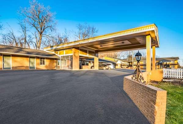
Places to stay
Hang your (vacation) hat in a place that’s just your style.


See a problem?