


Earlville, IA
Earlville, IA 52041
Earlville Map
Earlville is a city in Delaware County, Iowa, United States. The population was 900 at the 2000 census.
Earlville is located at 42°28?55?N 91°16?14?W / 42.48194°N 91.27056°W / 42.48194; -91.27056 (42.482074, -91.270456).
According to the United States Census Bureau, the city has a total area of 0.6 square miles (1.4 km²), all of it land.
Nearby cities include Colesburg, Edgewood, Luxemburg, Farley, Ryan.
Places in Earlville
Dine and drink
Eat and drink your way through town.


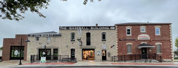
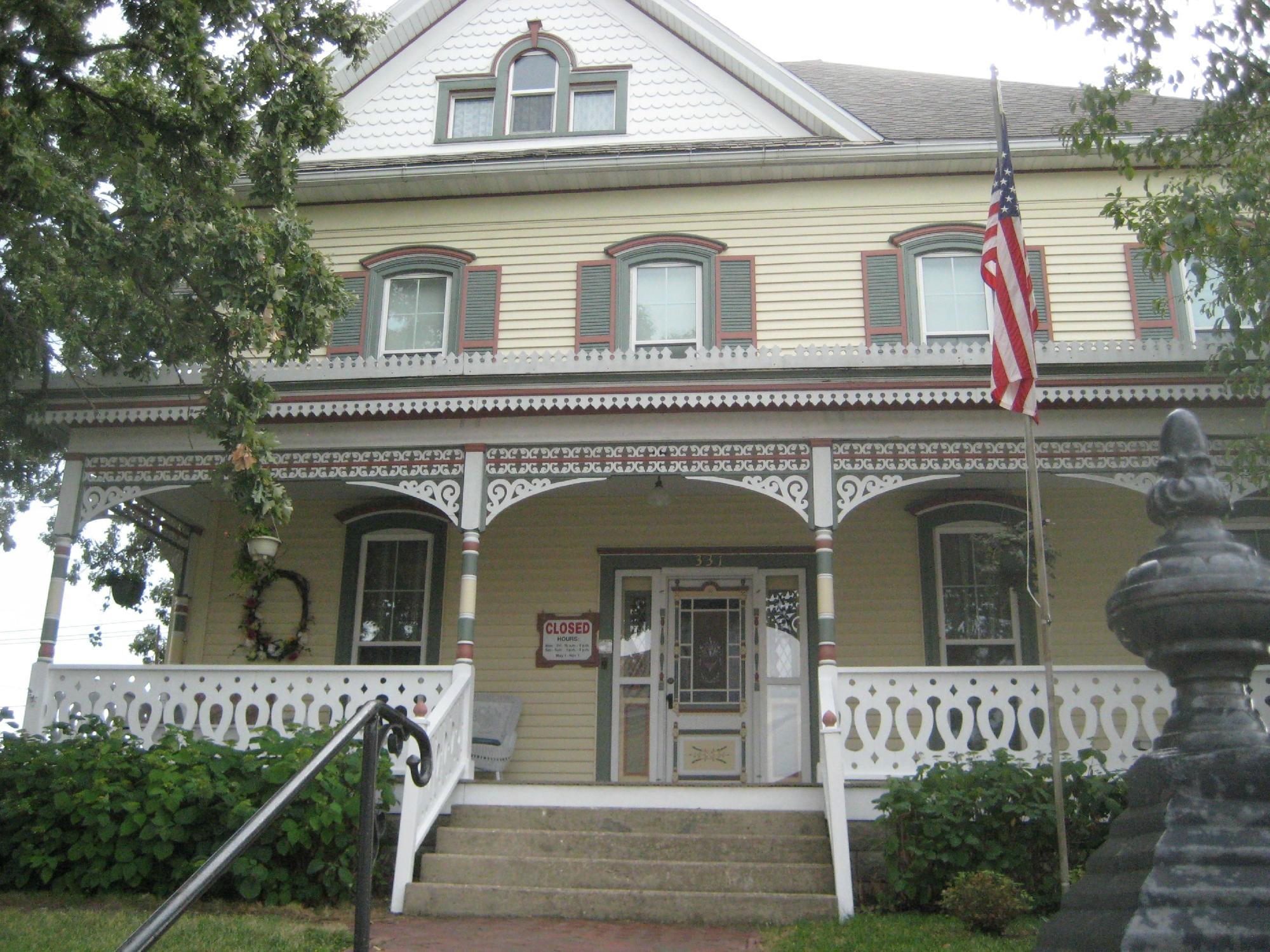
Can't-miss activities
Culture, natural beauty, and plain old fun.


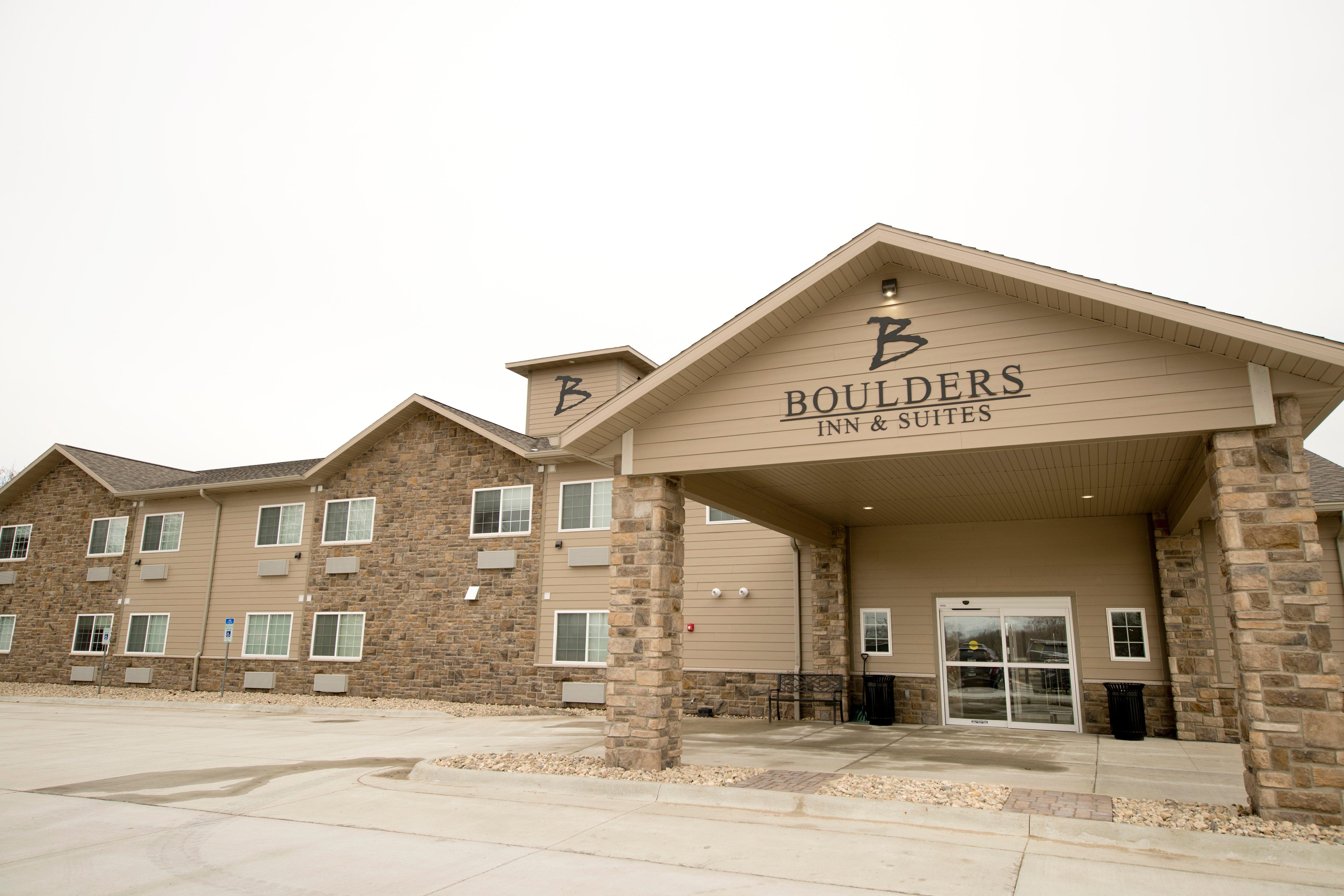
Places to stay
Hang your (vacation) hat in a place that’s just your style.


See a problem?