


Dunlap, IA
Dunlap, IA 51529
Dunlap Map
Dunlap is a city in Harrison County, Iowa, United States, along the Boyer River. The population was 1,139 at the 2000 census.
Dunlap is located at 41°51?14?N 95°36?0?W / 41.85389°N 95.6°W / 41.85389; -95.6 (41.853952, -95.599862).
According to the United States Census Bureau, the city has a total area of 1.1 square miles (2.9 km²), of which, 1.1 square miles (2.8 km²) of it is land and 0.90% is water.
Nearby cities include Earling, Panama, Soldier, Defiance, Moorhead.
Places in Dunlap
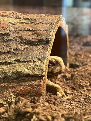
Dine and drink
Eat and drink your way through town.


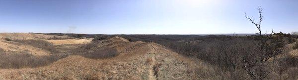
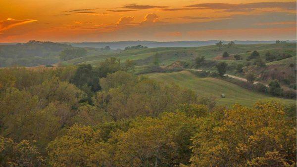
Can't-miss activities
Culture, natural beauty, and plain old fun.
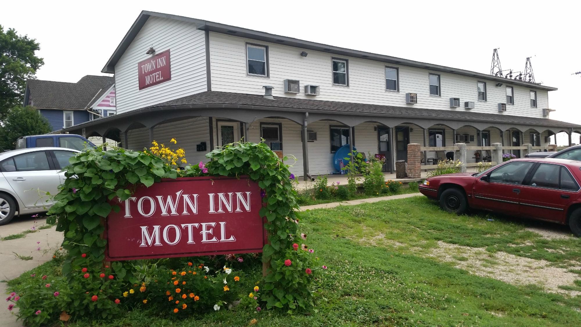
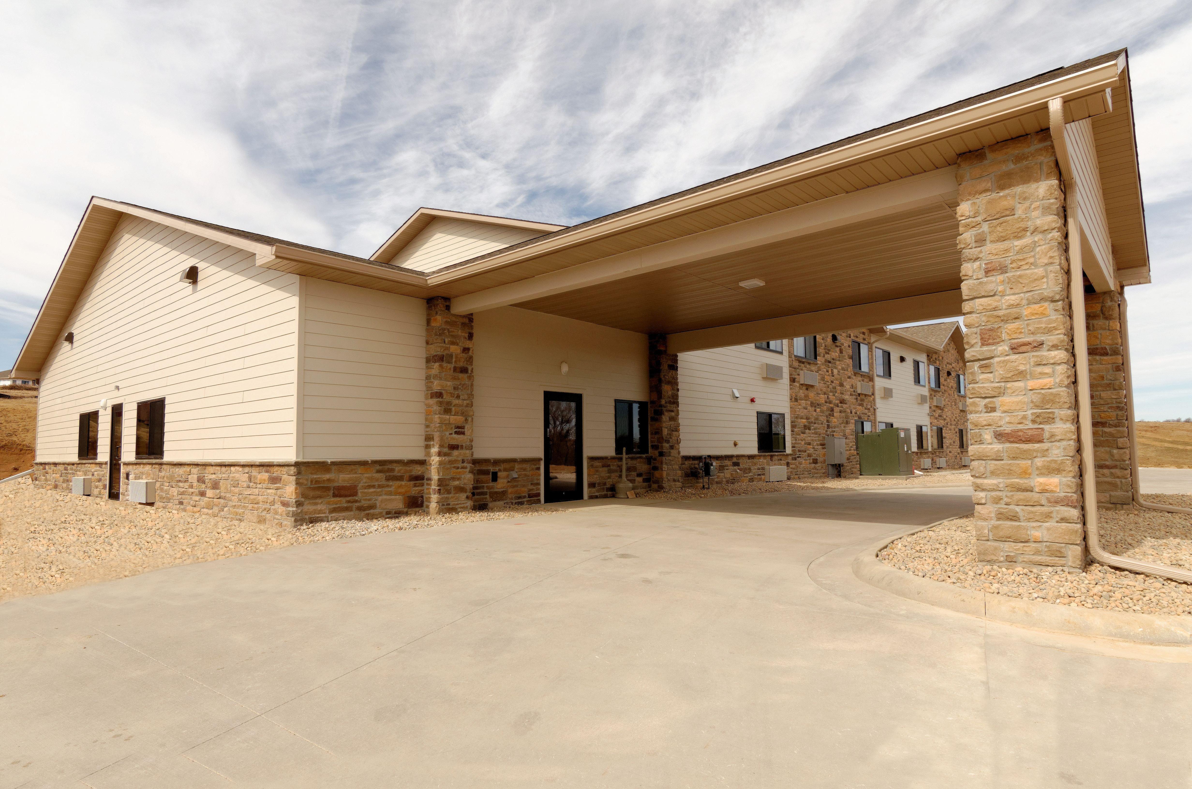
Places to stay
Hang your (vacation) hat in a place that’s just your style.
See a problem?