


Buffalo, IA
Buffalo, IA 52728
Buffalo Map
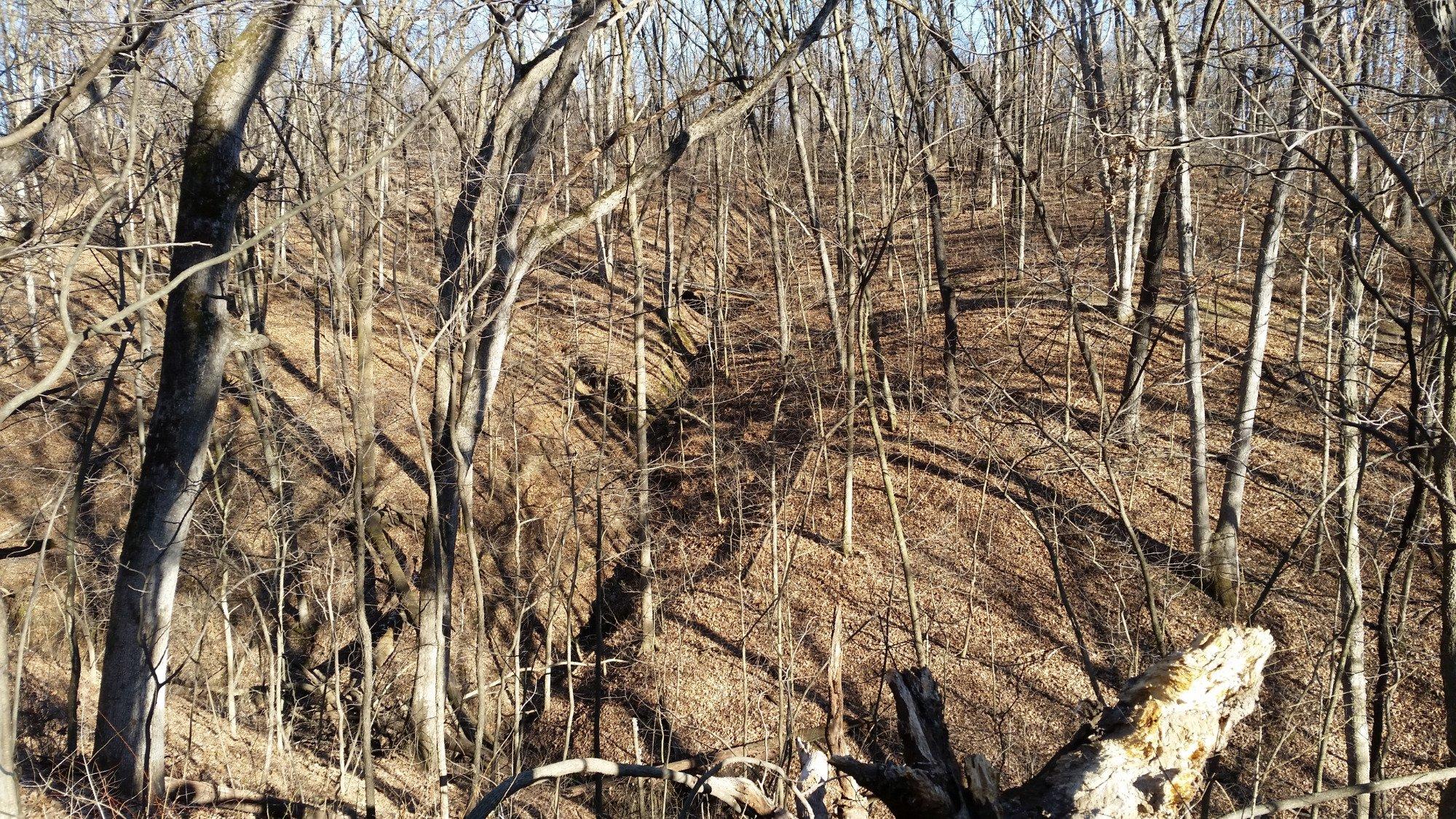
Buffalo is a city in Scott County, Iowa, United States. The population was 1,321 at the 2000 census, and decreased to 1,270 in 2010. Buffalo is located on the Mississippi River. The city is located near the Quad Cities of Illinois and Iowa.
Buffalo's longitude and latitude coordinates
in decimal form are 41.459231, -90.721244.
According to the United States Census Bureau, the city has a total area of 6.1 square miles (15.7 km²), of which, 6.0 square miles (15.6 km²) of it is land and 0.04 square miles (0.1 km²) of it (0.50%) is water.
Nearby cities include Andalusia, Bettendorf, Moline, Coal Valley, Durant.
Places in Buffalo
Dine and drink
Eat and drink your way through town.


Can't-miss activities
Culture, natural beauty, and plain old fun.

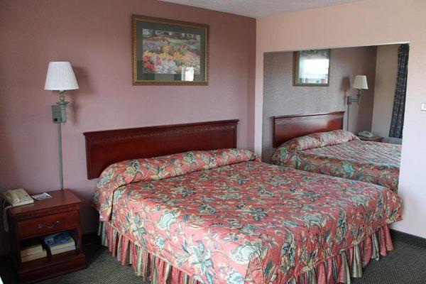
Places to stay
Hang your (vacation) hat in a place that’s just your style.


See a problem?