


Atkins, IA
Atkins, IA 52206
Atkins Map
Atkins is a city in Benton County, Iowa, United States. The population was 977 at the 2000 census; a special census conducted by the city in 2005 counted 1,297 residents. It is part of the Cedar Rapids Metropolitan Statistical Area.
Atkins is located at 41°59?41?N 91°51?40?W / 41.99472°N 91.86111°W / 41.99472; -91.86111 (41.994599, -91.861232). It is about 10 miles (16 km) west of downtown Cedar Rapids.
According to the United States Census Bureau, the city has a total area of 0.8 square miles (2.1 km²), all of it land.
Nearby cities include Hiawatha, Robins, Van Horne, Blairstown, Amana.
Places in Atkins
Dine and drink
Eat and drink your way through town.


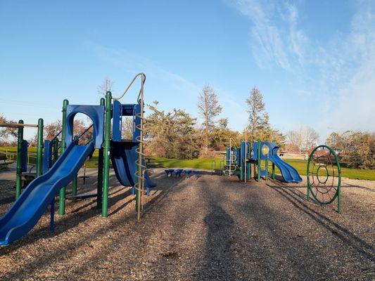
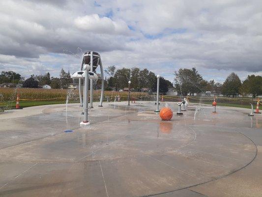
Can't-miss activities
Culture, natural beauty, and plain old fun.

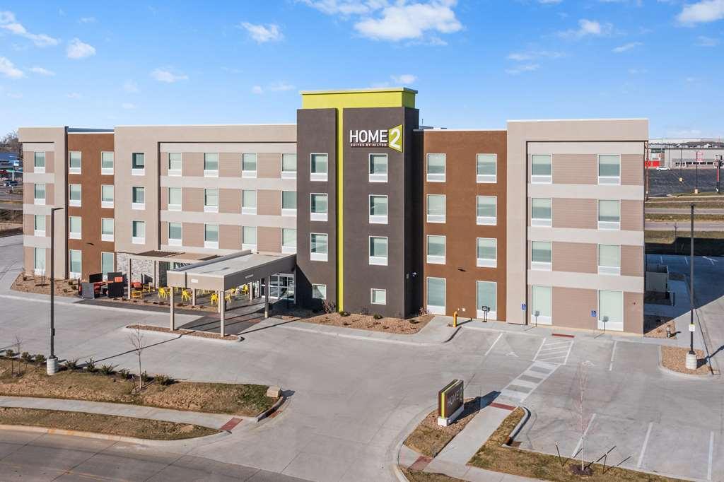
Places to stay
Hang your (vacation) hat in a place that’s just your style.


See a problem?